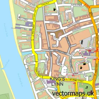
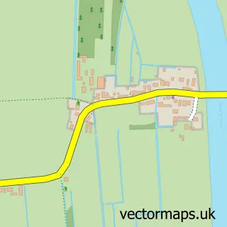
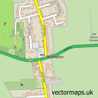
This Setchey street map is a detailed vector street map covering a 750m x 750m area. Select a larger area to create and download your own vector street map of Setchey.
The 750-metre map sample for Setchey covers 114 mapped buildings and approximately 6.2 km of road detail, of which 5 named roads are named. The immediate area includes 1 MOT station. The wider area around Setchey features 1 hotel and 1 campsite within 2 miles. To create a larger or custom map of Setchey, the map builder lets you define your own coverage area and download editable SVG, PDF and PNG files.
Create a larger editable map of Setchey
Choose any area you need and generate a high-quality vector map instantly. Perfect for print, planning, design, business and personal use.

This Setchey street map in Norfolk is available as downloadable SVG, PDF and PNG map files, or as a printed map for planning, business, display, education, local information and design work. You can also create a larger custom map area using the map selector.
What this Setchey map sample shows
Setchey lies within West Winch Cp parish, part of West Winch ward in the King's Lynn And West Norfolk District (B) local authority area. The postcode geography for this area includes the PE postcode area, the PE33 postcode district and the PE33 0 postcode sector. Residents fall under the Nhs Norfolk And Waveney Integrated Care Board for NHS services.
Local features near Setchey
Within 2 milesAmenities and services in and around Setchey.
Administrative and postcode information for Setchey
Setchey lies within West Winch Cp parish, part of West Winch ward in the King's Lynn And West Norfolk District (B) local authority area. The postcode geography for this area includes the PE postcode area, the PE33 postcode district and the PE33 0 postcode sector. Residents fall under the Nhs Norfolk And Waveney Integrated Care Board for NHS services.
Nearby street map samples around Setchey

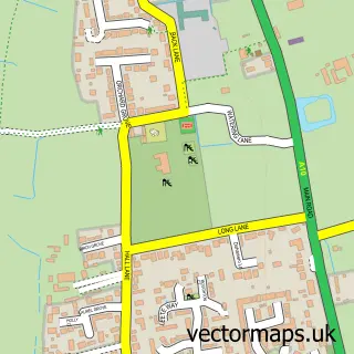
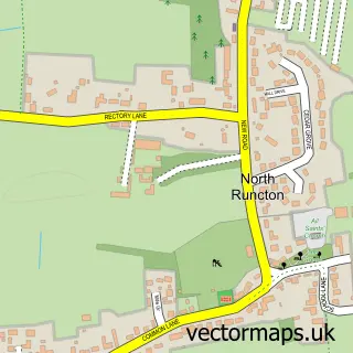
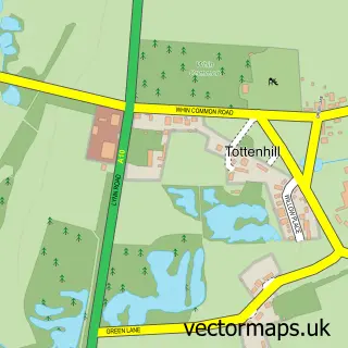
More street maps in Norfolk
750 metre map area coverage
Boundary, postcode and point of interest information for the 750m x 750m rectangle centred on this sample map.
Boundaries containing map centre
Constituency: North West Norfolk Co Const
County: Norfolk County
District: King's Lynn and West Norfolk District (B)
Icb: NHS Norfolk and Waveney ICB
Parish: West Winch CP
Police Force: norfolk
Postcode District: PE33
Postcode Sector: PE33 0
Ward: West Winch Ward
Nearby boundaries intersecting sample
No additional intersecting boundaries found.
Postcode coverage
POI category counts
Antique Store: 2
Freight And Cargo Service: 2
Used Car Dealer: 2
Agriculture: 1
Auto Restoration Services: 1
Automotive: 1
Automotive Repair: 1
Bar: 1
Beverage Store: 1
Building Supply Store: 1
Sample points of interest
- D&H Direct
- Ely Vintage Emporium
- The Warehouse Antiques and Collectables
- Flatline Accident Repair Ltd.
- A10 Auto Centre
- Tony's Custom Cars
- The Warehouse Taproom
- Alfred G Pearce
- Carter Cabin Hire
- Maxview
- JSW Car Sales
- Eastern Electrical Contractors
Create a larger editable map of Setchey
This sample shows only a 750 metre area. To create a larger map of Setchey, use our map builder to choose your own coverage area, add titles and download editable SVG, PDF and PNG files.
Create a custom map of Setchey