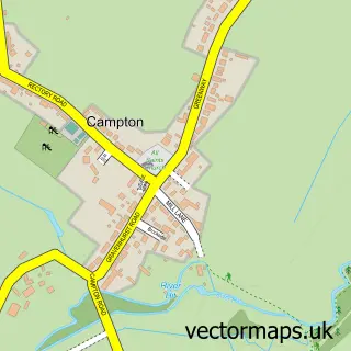
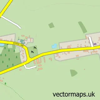
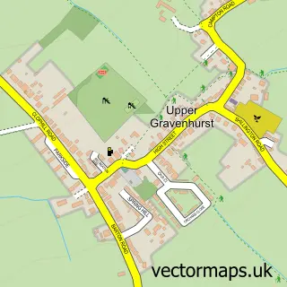
This Shefford street map is a detailed vector street map covering a 750m x 750m area. Select a larger area to create and download your own vector street map of Shefford.
The 750-metre map sample for Shefford covers 462 mapped buildings and approximately 14.0 km of road detail, of which 44 named roads are named. The immediate area includes 1 GP surgery within 2 miles, 3 pubs and 3 MOT stations, with 6 within 2 miles. The wider area around Shefford features 1 tourism point of interest, 8 food and drink venues and 1 hotel. To create a larger or custom map of Shefford, the map builder lets you define your own coverage area and download editable SVG, PDF and PNG files.
Create a larger editable map of Shefford
Choose any area you need and generate a high-quality vector map instantly. Perfect for print, planning, design, business and personal use.

This Shefford street map in Bedfordshire is available as downloadable SVG, PDF and PNG map files, or as a printed map for planning, business, display, education, local information and design work. You can also create a larger custom map area using the map selector.
What this Shefford map sample shows
Shefford lies within Shefford Cp parish, part of Shefford ward in the Central Bedfordshire local authority area. The postcode geography for this area includes the SG postcode area, the SG17 postcode district and the SG17 5 postcode sector. Residents fall under the Nhs Bedfordshire, Luton And Milton Keynes Integrated Care Board for NHS services.
Local features near Shefford
Within 2 milesAmenities and services in and around Shefford.
Administrative and postcode information for Shefford
Shefford lies within Shefford Cp parish, part of Shefford ward in the Central Bedfordshire local authority area. The postcode geography for this area includes the SG postcode area, the SG17 postcode district and the SG17 5 postcode sector. Residents fall under the Nhs Bedfordshire, Luton And Milton Keynes Integrated Care Board for NHS services.
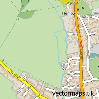
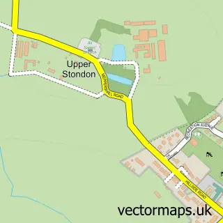
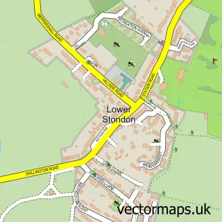
Nearby street map samples around Shefford

More street maps in Bedfordshire
750 metre map area coverage
Boundary, postcode and point of interest information for the 750m x 750m rectangle centred on this sample map.
Boundaries containing map centre
Constituency: Hitchin Co Const
District: Central Bedfordshire
Icb: NHS Central East ICB
Parish: Shefford CP
Police Force: bedfordshire
Postcode District: SG17
Postcode Sector: SG17 5
Ward: Shefford Ward
Nearby boundaries intersecting sample
No additional intersecting boundaries found.
Postcode coverage
POI category counts
Industrial Equipment: 5
Medical Supply: 4
Real Estate Agent: 4
Barber: 3
Beauty Salon: 3
Building Supply Store: 3
Business Management Services: 3
Dance School: 3
Gas Station: 3
Hair Salon: 3
Sample points of interest
- ELM Bookkeeping
- Shefford Accountancy Services
- Futurenet Publishing Ltd
- Netmediasolutions Ltd
- St Michael & All Angels
- Jestim
- All Sew
- New Kitchens Ltd.
- Artisans in the Yard
- Philpotts
- Philpotts
- Gnewt
Create a larger editable map of Shefford
This sample shows only a 750 metre area. To create a larger map of Shefford, use our map builder to choose your own coverage area, add titles and download editable SVG, PDF and PNG files.
Create a custom map of Shefford