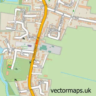
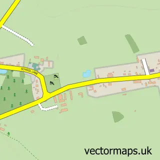
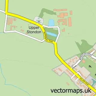
This Clifton street map is a detailed vector street map covering a 750m x 750m area. Select a larger area to create and download your own vector street map of Clifton.
The 750-metre map sample for Clifton covers 470 mapped buildings and approximately 13.6 km of road detail, of which 35 named roads are named. The immediate area includes 1 school, 1 GP surgery within 2 miles, 3 pubs and 7 MOT stations within 2 miles. The wider area around Clifton features 1 tourism point of interest, 3 food and drink venues and 1 campsite within 2 miles. To create a larger or custom map of Clifton, the map builder lets you define your own coverage area and download editable SVG, PDF and PNG files.
Create a larger editable map of Clifton
Choose any area you need and generate a high-quality vector map instantly. Perfect for print, planning, design, business and personal use.

This Clifton street map in Bedfordshire is available as downloadable SVG, PDF and PNG map files, or as a printed map for planning, business, display, education, local information and design work. You can also create a larger custom map area using the map selector.
What this Clifton map sample shows
Clifton lies within Clifton Cp parish, part of Arlesey ward in the Central Bedfordshire local authority area. The postcode geography for this area includes the SG postcode area, the SG17 postcode district and the SG17 5 postcode sector. Residents fall under the Nhs Bedfordshire, Luton And Milton Keynes Integrated Care Board for NHS services.
Local features near Clifton
Within 2 milesAmenities and services in and around Clifton.
Administrative and postcode information for Clifton
Clifton lies within Clifton Cp parish, part of Arlesey ward in the Central Bedfordshire local authority area. The postcode geography for this area includes the SG postcode area, the SG17 postcode district and the SG17 5 postcode sector. Residents fall under the Nhs Bedfordshire, Luton And Milton Keynes Integrated Care Board for NHS services.
Nearby street map samples around Clifton
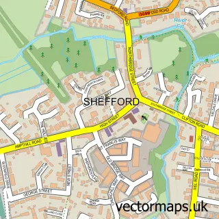

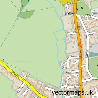
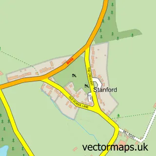
More street maps in Bedfordshire
750 metre map area coverage
Boundary, postcode and point of interest information for the 750m x 750m rectangle centred on this sample map.
Boundaries containing map centre
Constituency: Hitchin Co Const
District: Central Bedfordshire
Icb: NHS Central East ICB
Parish: Clifton CP
Police Force: bedfordshire
Postcode District: SG17
Postcode Sector: SG17 5
Ward: Clifton, Henlow & Langford Ward
Nearby boundaries intersecting sample
No additional intersecting boundaries found.
Postcode coverage
POI category counts
Pub: 3
Beauty Salon: 2
Butcher Shop: 2
Church Cathedral: 2
Elementary School: 2
Accommodation: 1
Anglican Church: 1
Bar: 1
Building Contractor: 1
Bus Station: 1
Sample points of interest
- Clifton Bedfordshire
- All Saints Clifton
- Claybridge Bar
- Carrie Molloy
- Hollie Does Hair and Beauty
- Scorpio Windows
- Post Office-Clifton
- Strathmore Business Consulting Limited
- Baxter J W
- J W Baxter
- Tapped
- All Saints C of E Church
Create a larger editable map of Clifton
This sample shows only a 750 metre area. To create a larger map of Clifton, use our map builder to choose your own coverage area, add titles and download editable SVG, PDF and PNG files.
Create a custom map of Clifton