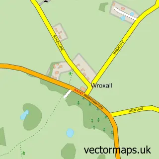
This Shrewley street map is a detailed vector street map covering a 750m x 750m area. Select a larger area to create and download your own vector street map of Shrewley.
The 750-metre map sample for Shrewley covers 149 mapped buildings and approximately 15.6 km of road detail, of which 5 named roads are named. The immediate area includes 1 pub. The wider area around Shrewley features 1 tourism point of interest, 1 food and drink venue and 1 campsite within 2 miles. To create a larger or custom map of Shrewley, the map builder lets you define your own coverage area and download editable SVG, PDF and PNG files.
Create a larger editable map of Shrewley
Choose any area you need and generate a high-quality vector map instantly. Perfect for print, planning, design, business and personal use.

This Shrewley street map in Warwickshire is available as downloadable SVG, PDF and PNG map files, or as a printed map for planning, business, display, education, local information and design work. You can also create a larger custom map area using the map selector.
What this Shrewley map sample shows
Shrewley lies within Shrewley Cp parish, part of Kenilworth Abbey & Arden ward in the Warwick District local authority area. The postcode geography for this area includes the CV postcode area, the CV35 postcode district and the CV35 7 postcode sector. Residents fall under the Nhs Coventry And Warwickshire Integrated Care Board for NHS services.
Local features near Shrewley
Within 2 milesAmenities and services in and around Shrewley.
Administrative and postcode information for Shrewley
The local authority covering Shrewley is Warwick District, within the county of Warwickshire. The settlement lies within Kenilworth Abbey & Arden ward and Shrewley Cp civil parish. The CV35 postcode district and CV35 7 postcode sector serve the immediate area. NHS provision in the area is delivered through South Warwickshire University Nhs Foundation Trust.
Nearby street map samples around Shrewley


More street maps in Warwickshire
750 metre map area coverage
Boundary, postcode and point of interest information for the 750m x 750m rectangle centred on this sample map.
Boundaries containing map centre
Constituency: Kenilworth and Southam Co Const
County: Warwickshire County
District: Warwick District
Icb: NHS Coventry and Warwickshire ICB
Parish: Shrewley CP
Police Force: warwickshire
Postcode District: CV35
Postcode Sector: CV35 7
Ward: Kenilworth Abbey & Arden Ward
Nearby boundaries intersecting sample
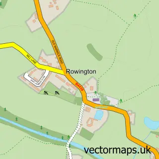
Parish: Rowington CP
Postcode coverage
POI category counts
Convenience Store: 4
Cabin: 1
Electrician: 1
Equestrian Facility: 1
Fishing Club: 1
Hunting And Fishing Supplies: 1
Landmark And Historical Building: 1
Plastic Fabrication Company: 1
Pub: 1
Public Service And Government: 1
Sample points of interest
- Tunnel Barn Farm Country Cabins
- Post Office-Shrewley
- SPAR Shrewley
- Shrewley Post Office
- Shrewley Village Store
- Arden Electrical Services
- RDA National Training Centre
- Tunnel Barn Farm
- Tunnel Barn Farm
- Shrewley Tunnel
- Kraton Polymers International
- The Durham Ox
Create a larger editable map of Shrewley
This sample shows only a 750 metre area. To create a larger map of Shrewley, use our map builder to choose your own coverage area, add titles and download editable SVG, PDF and PNG files.
Create a custom map of Shrewley