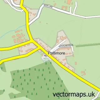
This Silverton street map is a detailed vector street map covering a 750m x 750m area. Select a larger area to create and download your own vector street map of Silverton.
The 750-metre map sample for Silverton covers 306 mapped buildings and approximately 16.7 km of road detail, of which 27 named roads are named. The immediate area includes 1 GP surgery, 1 pub and 2 MOT stations within 2 miles. The wider area around Silverton features 1 tourism point of interest and 2 food and drink venues. To create a larger or custom map of Silverton, the map builder lets you define your own coverage area and download editable SVG, PDF and PNG files.
Create a larger editable map of Silverton
Choose any area you need and generate a high-quality vector map instantly. Perfect for print, planning, design, business and personal use.

This Silverton street map in Devon is available as downloadable SVG, PDF and PNG map files, or as a printed map for planning, business, display, education, local information and design work. You can also create a larger custom map area using the map selector.
What this Silverton map sample shows
Silverton lies within Silverton Cp parish, part of Silverton ward in the Mid Devon District local authority area. The postcode geography for this area includes the EX postcode area, the EX5 postcode district and the EX5 4 postcode sector. Residents fall under the Nhs Devon Integrated Care Board for NHS services.
Local features near Silverton
Within 2 milesAmenities and services in and around Silverton.
Administrative and postcode information for Silverton
The local authority covering Silverton is Mid Devon District, within the county of Devon. The settlement lies within Silverton ward and Silverton Cp civil parish. The EX5 postcode district and EX5 4 postcode sector serve the immediate area. NHS provision in the area is delivered through Royal Devon University Healthcare Nhs Foundation Trust.
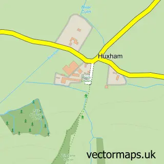
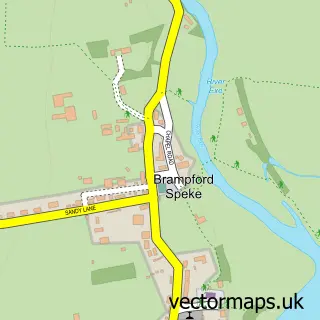
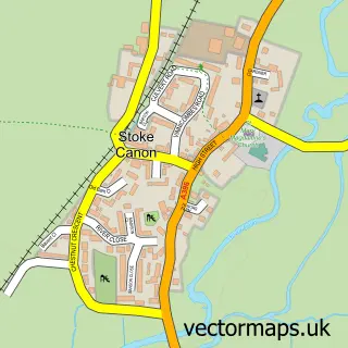
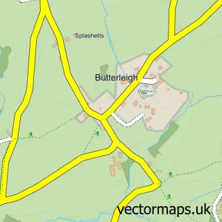
Nearby street map samples around Silverton

More street maps in Devon
750 metre map area coverage
Boundary, postcode and point of interest information for the 750m x 750m rectangle centred on this sample map.
Boundaries containing map centre
Constituency: Central Devon Co Const
County: Devon County
District: Mid Devon District
Icb: NHS Devon ICB
Parish: Silverton CP
Police Force: devon and cornwall
Postcode District: EX5
Postcode Sector: EX5 4
Ward: Silverton Ward
Nearby boundaries intersecting sample
No additional intersecting boundaries found.
Postcode coverage
POI category counts
Professional Services: 3
Beauty Salon: 2
Contractor: 2
Convenience Store: 2
Doctor: 2
Anglican Church: 1
Architect: 1
Arts And Crafts: 1
Barber: 1
Building Contractor: 1
Sample points of interest
- St Mary the Virgin, Silverton
- Miles Snowdon
- Bailey Wood
- Silverton Barber Shop
- CCS Aesthetics
- Flixx Hair & Beauty
- Amg Interior Creations
- Clear View of Silverton
- D.J. Haggett Butchers
- Copper Oak Cottages Hideaway
- Costa Express
- Silverton Community Larder
Create a larger editable map of Silverton
This sample shows only a 750 metre area. To create a larger map of Silverton, use our map builder to choose your own coverage area, add titles and download editable SVG, PDF and PNG files.
Create a custom map of Silverton