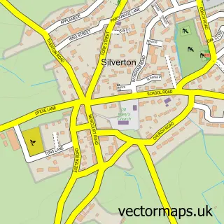
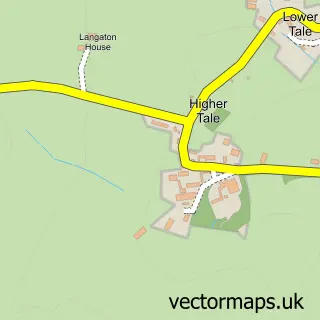
This Bradninch street map is a detailed vector street map covering a 750m x 750m area. Select a larger area to create and download your own vector street map of Bradninch.
The 750-metre map sample for Bradninch covers 257 mapped buildings and approximately 17.1 km of road detail, of which 21 named roads are named. The immediate area includes 2 pubs and 1 MOT station, with 3 within 2 miles. The wider area around Bradninch features 1 tourism point of interest, 4 food and drink venues and 1 hotel. To create a larger or custom map of Bradninch, the map builder lets you define your own coverage area and download editable SVG, PDF and PNG files.
Create a larger editable map of Bradninch
Choose any area you need and generate a high-quality vector map instantly. Perfect for print, planning, design, business and personal use.

This Bradninch street map in Devon is available as downloadable SVG, PDF and PNG map files, or as a printed map for planning, business, display, education, local information and design work. You can also create a larger custom map area using the map selector.
What this Bradninch map sample shows
Bradninch lies within Bradninch Cp parish, part of Bradninch ward in the Mid Devon District local authority area. The postcode geography for this area includes the EX postcode area, the EX5 postcode district and the EX5 4 postcode sector. Residents fall under the Nhs Devon Integrated Care Board for NHS services.
Local features near Bradninch
Within 2 milesAmenities and services in and around Bradninch.
Administrative and postcode information for Bradninch
The local authority covering Bradninch is Mid Devon District, within the county of Devon. The settlement lies within Bradninch ward and Bradninch Cp civil parish. The EX5 postcode district and EX5 4 postcode sector serve the immediate area. NHS provision in the area is delivered through Royal Devon University Healthcare Nhs Foundation Trust.
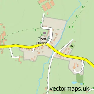
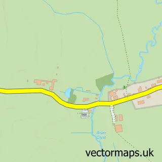
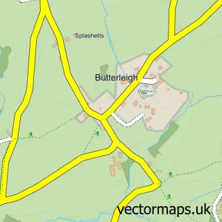
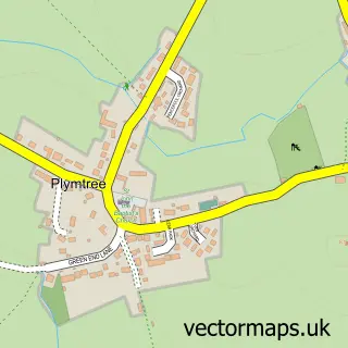
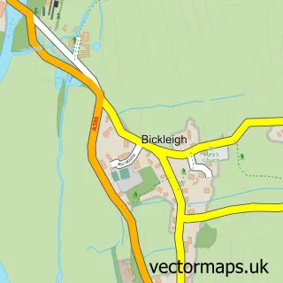
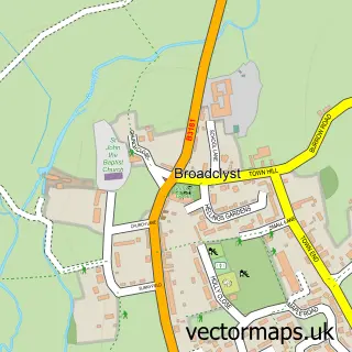
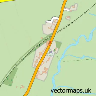
Nearby street map samples around Bradninch

More street maps in Devon
750 metre map area coverage
Boundary, postcode and point of interest information for the 750m x 750m rectangle centred on this sample map.
Boundaries containing map centre
Constituency: Central Devon Co Const
County: Devon County
District: Mid Devon District
Icb: NHS Devon ICB
Parish: Bradninch CP
Police Force: devon and cornwall
Postcode District: EX5
Postcode Sector: EX5 4
Ward: Bradninch Ward
Nearby boundaries intersecting sample
No additional intersecting boundaries found.
Postcode coverage
POI category counts
Sports Club And League: 3
Church Cathedral: 2
Convenience Store: 2
Preschool: 2
Pub: 2
Roofing: 2
Scout Hall: 2
Advertising Agency: 1
Banks: 1
Baptist Church: 1
Sample points of interest
- Pagemarks
- NatWest
- Bradninch Baptist Church
- The Kensham Club at BKCC
- Love Hair by elaine pullen
- The White Lion Bradninch
- Ds Property Maintenance
- The Central Dairy
- Manning Motors
- R & CH Crispin
- Parish Church of Saint Disens
- St Disen's Church
Create a larger editable map of Bradninch
This sample shows only a 750 metre area. To create a larger map of Bradninch, use our map builder to choose your own coverage area, add titles and download editable SVG, PDF and PNG files.
Create a custom map of Bradninch