This Stafford street map is a detailed vector street map covering a 750m x 750m area. Select a larger area to create and download your own vector street map of Stafford.
The 750-metre map sample for Stafford covers 120 mapped buildings and approximately 23.2 km of road detail, of which 57 named roads are named. The immediate area includes 1 GP surgery, with 7 within 2 miles, 25 pubs and 3 MOT stations, with 30 within 2 miles. The wider area around Stafford features 16 tourism points of interest, 58 food and drink venues and 4 hotels. To create a larger or custom map of Stafford, the map builder lets you define your own coverage area and download editable SVG, PDF and PNG files.
Create a larger editable map of Stafford
Choose any area you need and generate a high-quality vector map instantly. Perfect for print, planning, design, business and personal use.

This Stafford street map in Staffordshire is available as downloadable SVG, PDF and PNG map files, or as a printed map for planning, business, display, education, local information and design work. You can also create a larger custom map area using the map selector.
What this Stafford map sample shows
Stafford lies within Staffordshire County parish, part of Forebridge ward in the Stafford District (B) local authority area. The postcode geography for this area includes the ST postcode area, the ST17 postcode district and the ST17 4 postcode sector. Residents fall under the Nhs Staffordshire And Stoke-On-Trent Integrated Care Board for NHS services.
Local features near Stafford
Within 2 milesAmenities and services in and around Stafford.
Administrative and postcode information for Stafford
Stafford lies within Staffordshire County parish, part of Forebridge ward in the Stafford District (B) local authority area. The postcode geography for this area includes the ST postcode area, the ST17 postcode district and the ST17 4 postcode sector. Residents fall under the Nhs Staffordshire And Stoke-On-Trent Integrated Care Board for NHS services.
Nearby street map samples around Stafford

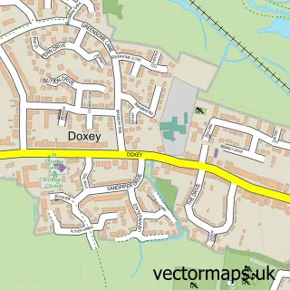
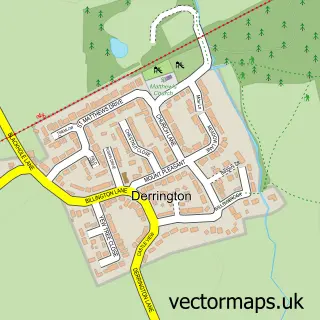
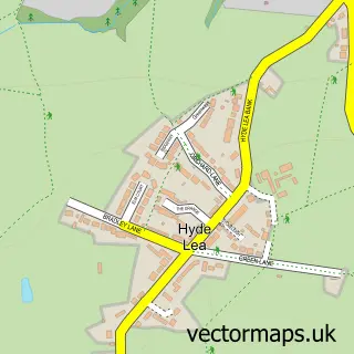
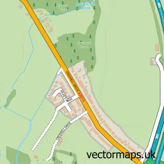
More street maps in Staffordshire
750 metre map area coverage
Boundary, postcode and point of interest information for the 750m x 750m rectangle centred on this sample map.
Boundaries containing map centre
Constituency: Stafford Co Const
County: Staffordshire County
District: Stafford District (B)
Icb: NHS Staffordshire and Stoke-on-Trent ICB
Police Force: staffordshire
Postcode District: ST16
Postcode Sector: ST16 2
Ward: Forebridge Ward
Nearby boundaries intersecting sample
Postcode District: ST17
Postcode Sector: ST16 1, ST16 3, ST17 4
Ward: Coton Ward, Doxey & Castletown Ward
Postcode coverage
POI category counts
Beauty Salon: 26
Pub: 25
Hair Salon: 24
Clothing Store: 22
Professional Services: 21
Barber: 20
Real Estate Agent: 17
Coffee Shop: 15
Mobile Phone Store: 14
Charity Organization: 13
Sample points of interest
- Carthy Accountants
- Silver & Company
- Stafford Business & Accountancy Services
- Stafford Carp
- Acuherbs
- Creative First
- Verso Branding Agency
- Jenny Mellenchip Clinical Hypnotherapist
- Natural Healing
- The Bank House
- Admiral Amusements
- Silvers Amusements
Create a larger editable map of Stafford
This sample shows only a 750 metre area. To create a larger map of Stafford, use our map builder to choose your own coverage area, add titles and download editable SVG, PDF and PNG files.
Create a custom map of Stafford