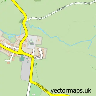
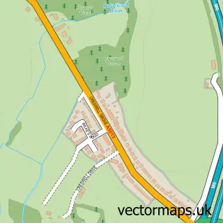
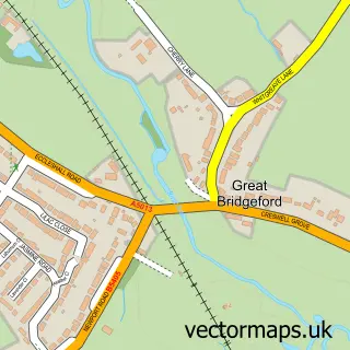
This Derrington street map is a detailed vector street map covering a 750m x 750m area. Select a larger area to create and download your own vector street map of Derrington.
The 750-metre map sample for Derrington covers 216 mapped buildings and approximately 7.9 km of road detail, of which 17 named roads are named. The immediate area includes 4 GP surgeries within 2 miles and 11 MOT stations within 2 miles. The wider area around Derrington features 2 tourism points of interest and 1 hotel. To create a larger or custom map of Derrington, the map builder lets you define your own coverage area and download editable SVG, PDF and PNG files.
Create a larger editable map of Derrington
Choose any area you need and generate a high-quality vector map instantly. Perfect for print, planning, design, business and personal use.

This Derrington street map in Staffordshire is available as downloadable SVG, PDF and PNG map files, or as a printed map for planning, business, display, education, local information and design work. You can also create a larger custom map area using the map selector.
What this Derrington map sample shows
Derrington lies within Seighford Cp parish, part of Seighford & Church Eaton ward in the Stafford District (B) local authority area. The postcode geography for this area includes the ST postcode area, the ST18 postcode district and the ST18 9 postcode sector. Residents fall under the Nhs Staffordshire And Stoke-On-Trent Integrated Care Board for NHS services.
Local features near Derrington
Within 2 milesAmenities and services in and around Derrington.
Administrative and postcode information for Derrington
The local authority covering Derrington is Stafford District (B), within the county of Staffordshire. The settlement lies within Seighford & Church Eaton ward and Seighford Cp civil parish. The ST18 postcode district and ST18 9 postcode sector serve the immediate area. NHS provision in the area is delivered through University Hospitals Of North Midlands Nhs Trust.
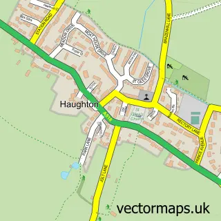
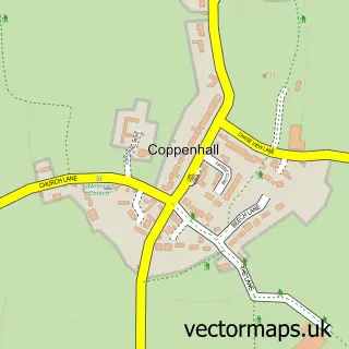
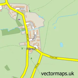
Nearby street map samples around Derrington
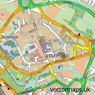

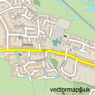
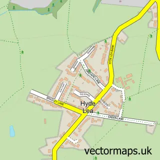
More street maps in Staffordshire
750 metre map area coverage
Boundary, postcode and point of interest information for the 750m x 750m rectangle centred on this sample map.
Boundaries containing map centre
Constituency: Stafford Co Const
County: Staffordshire County
District: Stafford District (B)
Icb: NHS Staffordshire and Stoke-on-Trent ICB
Parish: Seighford CP
Police Force: staffordshire
Postcode District: ST18
Postcode Sector: ST18 9
Ward: Seighford & Church Eaton Ward
Nearby boundaries intersecting sample
No additional intersecting boundaries found.
Postcode coverage
POI category counts
Shipping Center: 2
Anglican Church: 1
Bar: 1
Charity Organization: 1
Church Cathedral: 1
Counseling And Mental Health: 1
Day Care Preschool: 1
Fabric Store: 1
Forest: 1
Hat Shop: 1
Sample points of interest
- Derrington S.Matthew
- Derrington news and info page
- Derrington Millenium Green Trust
- St Matthew's Church
- Ditch Your Trauma
- Kay Sera Sera
- The Curtain Workshop
- Duddas Wood
- Get Ahead Hats
- D J Heaven
- Stafford Rural District
- Psg
Create a larger editable map of Derrington
This sample shows only a 750 metre area. To create a larger map of Derrington, use our map builder to choose your own coverage area, add titles and download editable SVG, PDF and PNG files.
Create a custom map of Derrington