This Stoke St Gregory street map is a detailed vector street map covering a 750m x 750m area. Select a larger area to create and download your own vector street map of Stoke St Gregory.
The 750-metre map sample for Stoke St Gregory covers 165 mapped buildings and approximately 8.9 km of road detail, of which 8 named roads are named. The immediate area includes 1 school, 1 pub and 1 MOT station within 2 miles. The wider area around Stoke St Gregory features 1 food and drink venue. To create a larger or custom map of Stoke St Gregory, the map builder lets you define your own coverage area and download editable SVG, PDF and PNG files.
Create a larger editable map of Stoke St Gregory
Choose any area you need and generate a high-quality vector map instantly. Perfect for print, planning, design, business and personal use.

This Stoke St Gregory street map in Somerset is available as downloadable SVG, PDF and PNG map files, or as a printed map for planning, business, display, education, local information and design work. You can also create a larger custom map area using the map selector.
What this Stoke St Gregory map sample shows
Stoke St Gregory lies within Stoke St. Gregory Cp parish, part of North Curry & Ruishton ward in the Somerset local authority area. The postcode geography for this area includes the TA postcode area, the TA3 postcode district and the TA3 6 postcode sector. Residents fall under the Nhs Somerset Integrated Care Board for NHS services.
Local features near Stoke St Gregory
Within 2 milesAmenities and services in and around Stoke St Gregory.
Administrative and postcode information for Stoke St Gregory
Stoke St Gregory lies within Stoke St. Gregory Cp parish, part of North Curry & Ruishton ward in the Somerset local authority area. The postcode geography for this area includes the TA postcode area, the TA3 postcode district and the TA3 6 postcode sector. Residents fall under the Nhs Somerset Integrated Care Board for NHS services.
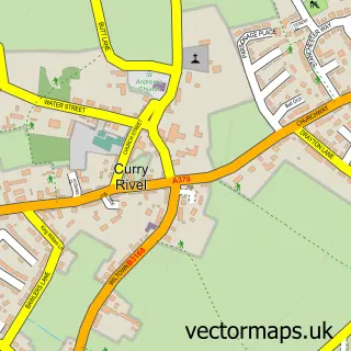
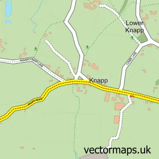
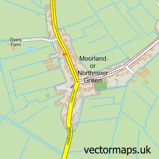
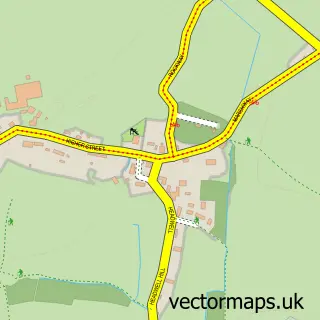
Nearby street map samples around Stoke St Gregory


More street maps in Somerset
750 metre map area coverage
Boundary, postcode and point of interest information for the 750m x 750m rectangle centred on this sample map.
Boundaries containing map centre
Constituency: Taunton and Wellington Co Const
District: Somerset
Icb: NHS Somerset ICB
Parish: Stoke St. Gregory CP
Police Force: avon and somerset
Postcode District: TA3
Postcode Sector: TA3 6
Nearby boundaries intersecting sample
No additional intersecting boundaries found.
Postcode coverage
POI category counts
Community Services Non Profits: 3
Elementary School: 2
Active Life: 1
Anglican Church: 1
Bed And Breakfast: 1
Convenience Store: 1
Environmental Conservation Organization: 1
Ev Charging Station: 1
Fence And Gate Sales Service: 1
Flowers And Gifts Shop: 1
Sample points of interest
- Stoke St Gregory Tennis Club
- St Gregory
- Stathe Court Farmhouse B&B Accommodation
- Hotvshop
- Stoke Stampede
- Village Shop & Cafe - Stoke St Gregory
- The Village Stores
- Stoke St Gregory C of E Primary School
- Stoke St Gregory Primary School
- Polkes Field Sheltered Housing
- The Williams Hall
- Woodhill Fencing & Landscaping
Create a larger editable map of Stoke St Gregory
This sample shows only a 750 metre area. To create a larger map of Stoke St Gregory, use our map builder to choose your own coverage area, add titles and download editable SVG, PDF and PNG files.
Create a custom map of Stoke St Gregory