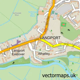
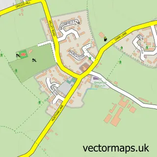
This Fivehead street map is a detailed vector street map covering a 750m x 750m area. Select a larger area to create and download your own vector street map of Fivehead.
The 750-metre map sample for Fivehead covers 210 mapped buildings and approximately 11.7 km of road detail, of which 8 named roads are named. The immediate area includes 1 pub and 2 MOT stations within 2 miles. The wider area around Fivehead features 2 food and drink venues and 1 campsite within 2 miles. To create a larger or custom map of Fivehead, the map builder lets you define your own coverage area and download editable SVG, PDF and PNG files.
Create a larger editable map of Fivehead
Choose any area you need and generate a high-quality vector map instantly. Perfect for print, planning, design, business and personal use.

This Fivehead street map in Somerset is available as downloadable SVG, PDF and PNG map files, or as a printed map for planning, business, display, education, local information and design work. You can also create a larger custom map area using the map selector.
What this Fivehead map sample shows
Fivehead lies within Fivehead Cp parish, part of Islemoor ward in the Somerset local authority area. The postcode geography for this area includes the TA postcode area, the TA3 postcode district and the TA3 6 postcode sector. Residents fall under the Nhs Somerset Integrated Care Board for NHS services.
Local features near Fivehead
Within 2 milesAmenities and services in and around Fivehead.
Administrative and postcode information for Fivehead
The local authority covering Fivehead is Somerset, within the county of Somerset. The settlement lies within Islemoor ward and Fivehead Cp civil parish. The TA3 postcode district and TA3 6 postcode sector serve the immediate area. NHS provision in the area is delivered through Somerset Nhs Foundation Trust.
Nearby street map samples around Fivehead


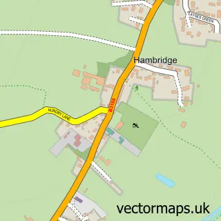
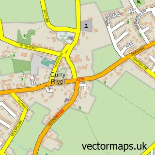
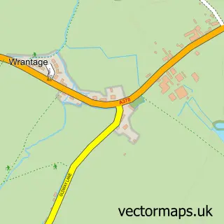
More street maps in Somerset
750 metre map area coverage
Boundary, postcode and point of interest information for the 750m x 750m rectangle centred on this sample map.
Boundaries containing map centre
Constituency: Glastonbury and Somerton Co Const
District: Somerset
Icb: NHS Somerset ICB
Parish: Fivehead CP
Police Force: avon and somerset
Postcode District: TA3
Postcode Sector: TA3 6
Nearby boundaries intersecting sample
No additional intersecting boundaries found.
Postcode coverage
POI category counts
Anglican Church: 2
Professional Services: 2
Assisted Living Facility: 1
Bakery: 1
Beauty Salon: 1
Bike Repair Maintenance: 1
Cafe: 1
Community Center: 1
Dog Trainer: 1
Education: 1
Sample points of interest
- St Martin's Church
- St Martin's, Fivehead
- Yarlington Housing Group
- The Old Bakery B&B
- American Nails Taunton
- Fivehead Cycle Works
- The Stable
- Fivehead Village Hall
- Klever K9s
- Gemma at Ashgate
- Deliver It Couriers Ltd
- Sue Atwell Soft Furnishings
Create a larger editable map of Fivehead
This sample shows only a 750 metre area. To create a larger map of Fivehead, use our map builder to choose your own coverage area, add titles and download editable SVG, PDF and PNG files.
Create a custom map of Fivehead