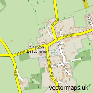
This Hambridge street map is a detailed vector street map covering a 750m x 750m area. Select a larger area to create and download your own vector street map of Hambridge.
The 750-metre map sample for Hambridge covers 123 mapped buildings and approximately 7.7 km of road detail, of which 2 named roads are named. The immediate area includes 1 school and 1 MOT station within 2 miles. The wider area around Hambridge features 1 tourism point of interest. To create a larger or custom map of Hambridge, the map builder lets you define your own coverage area and download editable SVG, PDF and PNG files.
Create a larger editable map of Hambridge
Choose any area you need and generate a high-quality vector map instantly. Perfect for print, planning, design, business and personal use.

This Hambridge street map in Somerset is available as downloadable SVG, PDF and PNG map files, or as a printed map for planning, business, display, education, local information and design work. You can also create a larger custom map area using the map selector.
What this Hambridge map sample shows
Hambridge lies within Hambridge And Westport Cp parish, part of Burrow Hill ward in the Somerset local authority area. The postcode geography for this area includes the TA postcode area, the TA10 postcode district and the TA10 0 postcode sector. Residents fall under the Nhs Somerset Integrated Care Board for NHS services.
Local features near Hambridge
Within 2 milesAmenities and services in and around Hambridge.
Administrative and postcode information for Hambridge
The local authority covering Hambridge is Somerset, within the county of Somerset. The settlement lies within Burrow Hill ward and Hambridge And Westport Cp civil parish. The TA10 postcode district and TA10 0 postcode sector serve the immediate area. NHS provision in the area is delivered through Somerset Nhs Foundation Trust.
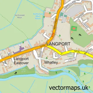
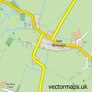
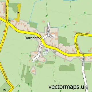
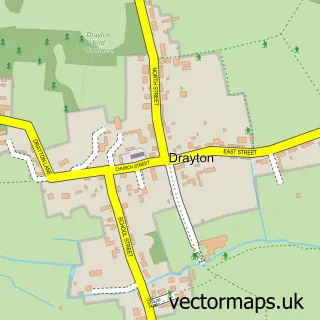
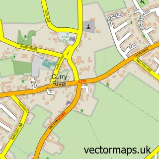
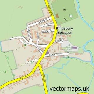
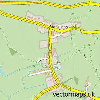
Nearby street map samples around Hambridge

More street maps in Somerset
750 metre map area coverage
Boundary, postcode and point of interest information for the 750m x 750m rectangle centred on this sample map.
Boundaries containing map centre
Constituency: Glastonbury and Somerton Co Const
District: Somerset
Icb: NHS Somerset ICB
Parish: Hambridge and Westport CP
Police Force: avon and somerset
Postcode District: TA10
Postcode Sector: TA10 0
Nearby boundaries intersecting sample
No additional intersecting boundaries found.
Postcode coverage
POI category counts
Anglican Church: 1
Assisted Living Facility: 1
Auto Upholstery: 1
Graphic Designer: 1
Home Decor: 1
Land Surveying: 1
Landmark And Historical Building: 1
Linen: 1
Post Office: 1
Theaters And Performance Venues: 1
Sample points of interest
- St James the Less
- Vicarage House Nursing Home
- McKay Upholstery
- Squiggle Graphics
- Chalon Uk Ltd.
- 360 Surveying
- Hambridge and Westport
- The Blind Maker
- Post Office
- Murder To Measure
Create a larger editable map of Hambridge
This sample shows only a 750 metre area. To create a larger map of Hambridge, use our map builder to choose your own coverage area, add titles and download editable SVG, PDF and PNG files.
Create a custom map of Hambridge