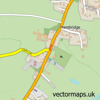
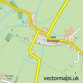
This Barrington street map is a detailed vector street map covering a 750m x 750m area. Select a larger area to create and download your own vector street map of Barrington.
The 750-metre map sample for Barrington covers 121 mapped buildings and approximately 7.2 km of road detail, of which 9 named roads are named. The immediate area includes 1 pub. The wider area around Barrington features 1 food and drink venue. To create a larger or custom map of Barrington, the map builder lets you define your own coverage area and download editable SVG, PDF and PNG files.
Create a larger editable map of Barrington
Choose any area you need and generate a high-quality vector map instantly. Perfect for print, planning, design, business and personal use.

This Barrington street map in Somerset is available as downloadable SVG, PDF and PNG map files, or as a printed map for planning, business, display, education, local information and design work. You can also create a larger custom map area using the map selector.
What this Barrington map sample shows
Barrington lies within Barrington Cp parish, part of Burrow Hill ward in the Somerset local authority area. The postcode geography for this area includes the TA postcode area, the TA19 postcode district and the TA19 0 postcode sector. Residents fall under the Nhs Somerset Integrated Care Board for NHS services.
Local features near Barrington
Within 2 milesAmenities and services in and around Barrington.
Administrative and postcode information for Barrington
Barrington lies within Barrington Cp parish, part of Burrow Hill ward in the Somerset local authority area. The postcode geography for this area includes the TA postcode area, the TA19 postcode district and the TA19 0 postcode sector. Residents fall under the Nhs Somerset Integrated Care Board for NHS services.
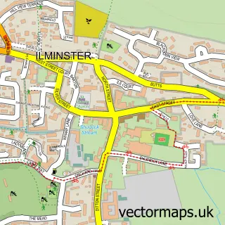
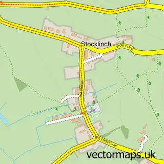
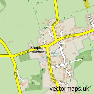
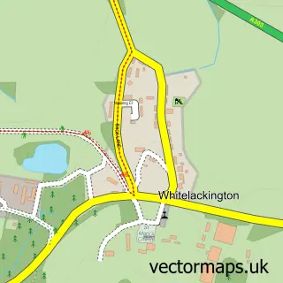
Nearby street map samples around Barrington

More street maps in Somerset
750 metre map area coverage
Boundary, postcode and point of interest information for the 750m x 750m rectangle centred on this sample map.
Boundaries containing map centre
Constituency: Glastonbury and Somerton Co Const
District: Somerset
Icb: NHS Somerset ICB
Parish: Barrington CP
Police Force: avon and somerset
Postcode District: TA19
Postcode Sector: TA19 0
Nearby boundaries intersecting sample
Constituency: Yeovil Co Const
Postcode coverage
POI category counts
Anglican Church: 1
Bed And Breakfast: 1
Carpet Cleaning: 1
Church Cathedral: 1
Community Center: 1
Dog Trainer: 1
Holiday Rental Home: 1
Pub: 1
Shopping: 1
Sports Club And League: 1
Sample points of interest
- The Blessed Virgin Mary
- Barrington Boar
- Kingdom Kleen Ltd
- Church of The Blessed Virgin Mary
- Barrington Village Hall
- Dog.Help
- Thatchdown Holiday Cottage
- The Barrington Boar
- Barrington Pottery
- Barrington F.C
- Parrett Removals
Create a larger editable map of Barrington
This sample shows only a 750 metre area. To create a larger map of Barrington, use our map builder to choose your own coverage area, add titles and download editable SVG, PDF and PNG files.
Create a custom map of Barrington