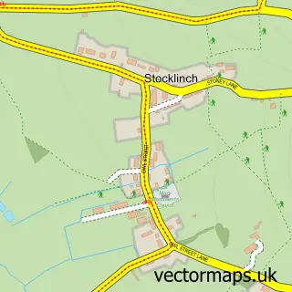
This Ilminster street map is a detailed vector street map covering a 750m x 750m area. Select a larger area to create and download your own vector street map of Ilminster.
The 750-metre map sample for Ilminster covers 371 mapped buildings and approximately 15.4 km of road detail, of which 33 named roads are named. The immediate area includes 1 school, 2 GP surgeries within 2 miles, 2 pubs and 3 MOT stations within 2 miles. The wider area around Ilminster features 1 tourism point of interest and 10 food and drink venues. To create a larger or custom map of Ilminster, the map builder lets you define your own coverage area and download editable SVG, PDF and PNG files.
Create a larger editable map of Ilminster
Choose any area you need and generate a high-quality vector map instantly. Perfect for print, planning, design, business and personal use.

This Ilminster street map in Somerset is available as downloadable SVG, PDF and PNG map files, or as a printed map for planning, business, display, education, local information and design work. You can also create a larger custom map area using the map selector.
What this Ilminster map sample shows
Ilminster lies within Ilminster Cp parish, part of Ilminster ward in the Somerset local authority area. The postcode geography for this area includes the TA postcode area, the TA19 postcode district and the TA19 0 postcode sector. Residents fall under the Nhs Somerset Integrated Care Board for NHS services.
Local features near Ilminster
Within 2 milesAmenities and services in and around Ilminster.
Administrative and postcode information for Ilminster
Ilminster lies within Ilminster Cp parish, part of Ilminster ward in the Somerset local authority area. The postcode geography for this area includes the TA postcode area, the TA19 postcode district and the TA19 0 postcode sector. Residents fall under the Nhs Somerset Integrated Care Board for NHS services.
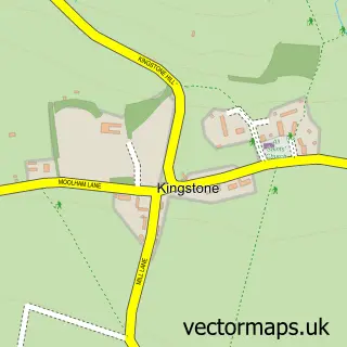
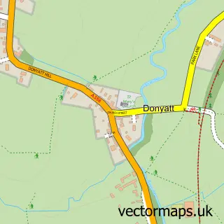
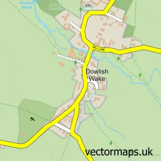
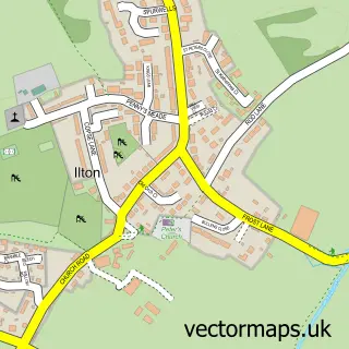
Nearby street map samples around Ilminster


More street maps in Somerset
750 metre map area coverage
Boundary, postcode and point of interest information for the 750m x 750m rectangle centred on this sample map.
Boundaries containing map centre
Constituency: Yeovil Co Const
District: Somerset
Icb: NHS Somerset ICB
Parish: Ilminster CP
Police Force: avon and somerset
Postcode District: TA19
Postcode Sector: TA19 0
Nearby boundaries intersecting sample
Postcode Sector: TA19 9
Postcode coverage
POI category counts
Hair Salon: 7
Clothing Store: 6
Shopping: 6
Retail: 5
Beauty And Spa: 4
Cafe: 4
Real Estate Agent: 4
Bar: 3
Barber: 3
Bridal Shop: 3
Sample points of interest
- Oakwood Accounting Ltd
- Pretwood Chartered Certified Accountants
- Somerset Skills & Learning
- Macs Printing
- Ilminster Ambulance Station
- St Mary's, The Minster, Ilminster
- Remains to be Seen
- Ilminster Arts Centre
- The Amazing Dolls House & Toy Co
- Bakery Royal
- Market Bakery
- Lloyds Bank
Create a larger editable map of Ilminster
This sample shows only a 750 metre area. To create a larger map of Ilminster, use our map builder to choose your own coverage area, add titles and download editable SVG, PDF and PNG files.
Create a custom map of Ilminster