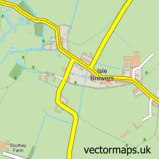
This Ilton street map is a detailed vector street map covering a 750m x 750m area. Select a larger area to create and download your own vector street map of Ilton.
The 750-metre map sample for Ilton covers 242 mapped buildings and approximately 12.0 km of road detail, of which 18 named roads are named. The immediate area includes 1 school, 2 GP surgeries within 2 miles, 1 pub and 4 MOT stations within 2 miles. The wider area around Ilton features 1 food and drink venue. To create a larger or custom map of Ilton, the map builder lets you define your own coverage area and download editable SVG, PDF and PNG files.
Create a larger editable map of Ilton
Choose any area you need and generate a high-quality vector map instantly. Perfect for print, planning, design, business and personal use.

This Ilton street map in Somerset is available as downloadable SVG, PDF and PNG map files, or as a printed map for planning, business, display, education, local information and design work. You can also create a larger custom map area using the map selector.
What this Ilton map sample shows
Ilton lies within Ilton Cp parish, part of Islemoor ward in the Somerset local authority area. The postcode geography for this area includes the TA postcode area, the TA19 postcode district and the TA19 9 postcode sector. Residents fall under the Nhs Somerset Integrated Care Board for NHS services.
Local features near Ilton
Within 2 milesAmenities and services in and around Ilton.
Administrative and postcode information for Ilton
The local authority covering Ilton is Somerset, within the county of Somerset. The settlement lies within Islemoor ward and Ilton Cp civil parish. The TA19 postcode district and TA19 9 postcode sector serve the immediate area. NHS provision in the area is delivered through Somerset Nhs Foundation Trust.
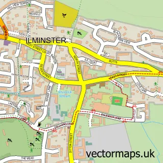
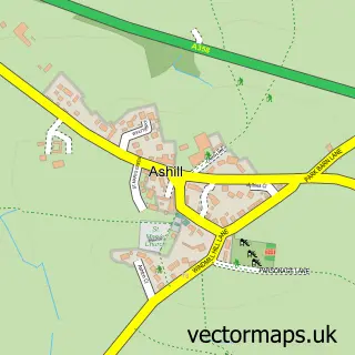
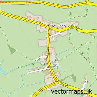
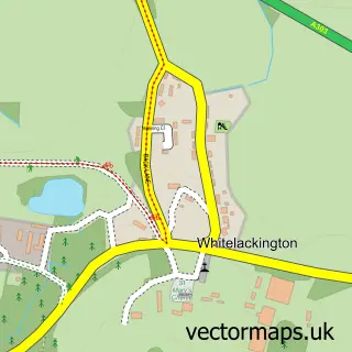
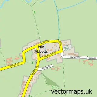
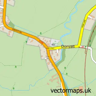
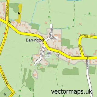
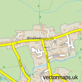
Nearby street map samples around Ilton

More street maps in Somerset
750 metre map area coverage
Boundary, postcode and point of interest information for the 750m x 750m rectangle centred on this sample map.
Boundaries containing map centre
Constituency: Glastonbury and Somerton Co Const
District: Somerset
Icb: NHS Somerset ICB
Parish: Ilton CP
Police Force: avon and somerset
Postcode District: TA19
Postcode Sector: TA19 9
Nearby boundaries intersecting sample
No additional intersecting boundaries found.
Postcode coverage
POI category counts
Elementary School: 2
Equestrian Facility: 2
Roofing: 2
Anglican Church: 1
Arts And Entertainment: 1
Building Supply Store: 1
Business: 1
Child Care And Day Care: 1
Contractor: 1
Custom T Shirt Store: 1
Sample points of interest
- St Peter
- The Florence and Hettie Show
- Trees and Fencing General Landscapes
- South West Pumps
- Miniatures Day Nursery
- Aquatech Surfacing Ltd
- Sho Custom Prints
- Miniatures
- Saint Mary and Saint Peter's Church of England Primary School
- St Mary & St Peter's Church School Ilton Somerset
- Drakes Farm Riding Centre
- Paddocks Equestrian
Create a larger editable map of Ilton
This sample shows only a 750 metre area. To create a larger map of Ilton, use our map builder to choose your own coverage area, add titles and download editable SVG, PDF and PNG files.
Create a custom map of Ilton