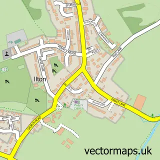
This Whitelackington street map is a detailed vector street map covering a 750m x 750m area. Select a larger area to create and download your own vector street map of Whitelackington.
The 750-metre map sample for Whitelackington covers 61 mapped buildings and approximately 11.9 km of road detail, of which 2 named roads are named. The immediate area includes 2 GP surgeries within 2 miles and 2 MOT stations within 2 miles. The wider area around Whitelackington features 2 tourism points of interest. To create a larger or custom map of Whitelackington, the map builder lets you define your own coverage area and download editable SVG, PDF and PNG files.
Create a larger editable map of Whitelackington
Choose any area you need and generate a high-quality vector map instantly. Perfect for print, planning, design, business and personal use.

This Whitelackington street map in Somerset is available as downloadable SVG, PDF and PNG map files, or as a printed map for planning, business, display, education, local information and design work. You can also create a larger custom map area using the map selector.
What this Whitelackington map sample shows
Whitelackington lies within Whitelackington Cp parish, part of South Petherton ward in the Somerset local authority area. The postcode geography for this area includes the TA postcode area, the TA19 postcode district and the TA19 9 postcode sector. Residents fall under the Nhs Somerset Integrated Care Board for NHS services.
Local features near Whitelackington
Within 2 milesAmenities and services in and around Whitelackington.
Administrative and postcode information for Whitelackington
The local authority covering Whitelackington is Somerset, within the county of Somerset. The settlement lies within South Petherton ward and Whitelackington Cp civil parish. The TA19 postcode district and TA19 9 postcode sector serve the immediate area. NHS provision in the area is delivered through Somerset Nhs Foundation Trust.
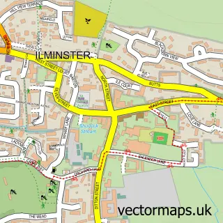
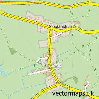
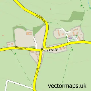
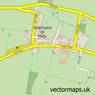
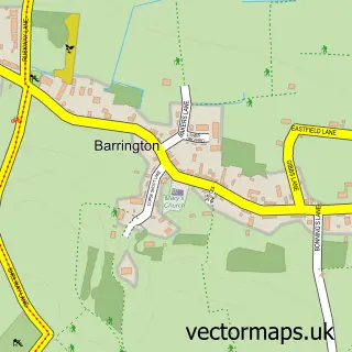
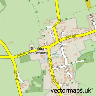
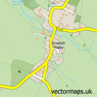
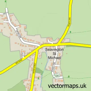
Nearby street map samples around Whitelackington

More street maps in Somerset
750 metre map area coverage
Boundary, postcode and point of interest information for the 750m x 750m rectangle centred on this sample map.
Boundaries containing map centre
Constituency: Yeovil Co Const
District: Somerset
Icb: NHS Somerset ICB
Parish: Whitelackington CP
Police Force: avon and somerset
Postcode District: TA19
Postcode Sector: TA19 9
Nearby boundaries intersecting sample
No additional intersecting boundaries found.
Postcode coverage
POI category counts
Building Supply Store: 2
Contractor: 2
Anglican Church: 1
Attractions And Activities: 1
Business Management Services: 1
Charity Organization: 1
Community Center: 1
Farm: 1
Gym: 1
It Service And Computer Repair: 1
Sample points of interest
- St Mary's, Whitelackington
- Roam Outdoors Activity Centre
- Crowstep BS Ltd
- Knight Electrical
- Somerset Design
- Shared Lives South West
- Whitelackington Village Hall
- A and C Joinery
- Crowstep B S Ltd
- Dillington Estate Office & Farms
- Evolve Fitness, Health & Wellbeing
- Harmonic
Create a larger editable map of Whitelackington
This sample shows only a 750 metre area. To create a larger map of Whitelackington, use our map builder to choose your own coverage area, add titles and download editable SVG, PDF and PNG files.
Create a custom map of Whitelackington