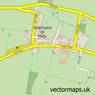
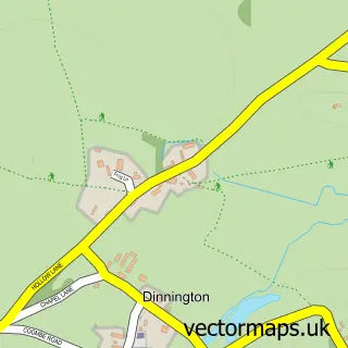
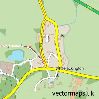
This Seavington St Michael street map is a detailed vector street map covering a 750m x 750m area. Select a larger area to create and download your own vector street map of Seavington St Michael.
The 750-metre map sample for Seavington St Michael covers 140 mapped buildings and approximately 8.3 km of road detail, of which 7 named roads are named. The immediate area includes 2 pubs and 1 MOT station within 2 miles. The wider area around Seavington St Michael features 1 tourism point of interest and 3 food and drink venues. To create a larger or custom map of Seavington St Michael, the map builder lets you define your own coverage area and download editable SVG, PDF and PNG files.
Create a larger editable map of Seavington St Michael
Choose any area you need and generate a high-quality vector map instantly. Perfect for print, planning, design, business and personal use.

This Seavington St Michael street map in Somerset is available as downloadable SVG, PDF and PNG map files, or as a printed map for planning, business, display, education, local information and design work. You can also create a larger custom map area using the map selector.
What this Seavington St Michael map sample shows
Seavington St Michael lies within Seavington St. Michael Cp parish, part of South Petherton ward in the Somerset local authority area. The postcode geography for this area includes the TA postcode area, the TA19 postcode district and the TA19 0 postcode sector. Residents fall under the Nhs Somerset Integrated Care Board for NHS services.
Local features near Seavington St Michael
Within 2 milesAmenities and services in and around Seavington St Michael.
Administrative and postcode information for Seavington St Michael
Seavington St Michael lies within Seavington St. Michael Cp parish, part of South Petherton ward in the Somerset local authority area. The postcode geography for this area includes the TA postcode area, the TA19 postcode district and the TA19 0 postcode sector. Residents fall under the Nhs Somerset Integrated Care Board for NHS services.
Nearby street map samples around Seavington St Michael

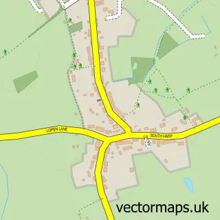
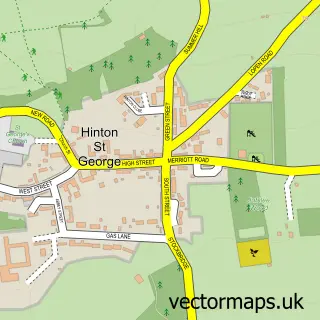
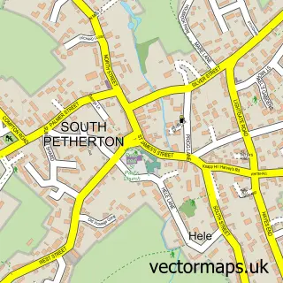
More street maps in Somerset
750 metre map area coverage
Boundary, postcode and point of interest information for the 750m x 750m rectangle centred on this sample map.
Boundaries containing map centre
Constituency: Yeovil Co Const
District: Somerset
Icb: NHS Somerset ICB
Parish: Seavington St. Michael CP
Police Force: avon and somerset
Postcode District: TA19
Postcode Sector: TA19 0
Nearby boundaries intersecting sample
Parish: Seavington St. Mary CP
Postcode coverage
POI category counts
Pub: 2
Anglican Church: 1
Beauty Salon: 1
Building Supply Store: 1
Clothing Store: 1
Freight And Cargo Service: 1
Laboratory Testing: 1
Landmark And Historical Building: 1
Nutritionist: 1
Painting: 1
Sample points of interest
- St Michael's
- The Beauty Spot
- G R Sweeps
- Jhasper
- Bonnings Transport
- Jhasper Ltd.
- Seavington St Michael
- Lesley's Healthcare
- Jason Whitehead Painting and Decorating
- The Volunteer Inn
- Volunteer Inn
- Somerset Grill Co
Create a larger editable map of Seavington St Michael
This sample shows only a 750 metre area. To create a larger map of Seavington St Michael, use our map builder to choose your own coverage area, add titles and download editable SVG, PDF and PNG files.
Create a custom map of Seavington St Michael