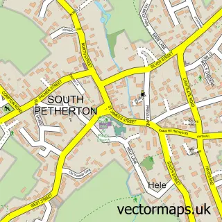
This Hinton St George street map is a detailed vector street map covering a 750m x 750m area. Select a larger area to create and download your own vector street map of Hinton St George.
The 750-metre map sample for Hinton St George covers 154 mapped buildings and approximately 11.2 km of road detail, of which 15 named roads are named. The immediate area includes 1 school and 1 pub. The wider area around Hinton St George features 1 food and drink venue and 1 campsite within 2 miles. To create a larger or custom map of Hinton St George, the map builder lets you define your own coverage area and download editable SVG, PDF and PNG files.
Create a larger editable map of Hinton St George
Choose any area you need and generate a high-quality vector map instantly. Perfect for print, planning, design, business and personal use.

This Hinton St George street map in Somerset is available as downloadable SVG, PDF and PNG map files, or as a printed map for planning, business, display, education, local information and design work. You can also create a larger custom map area using the map selector.
What this Hinton St George map sample shows
Hinton St George lies within Hinton St. George Cp parish, part of Eggwood ward in the Somerset local authority area. The postcode geography for this area includes the TA postcode area, the TA17 postcode district and the TA17 8 postcode sector. Residents fall under the Nhs Somerset Integrated Care Board for NHS services.
Local features near Hinton St George
Within 2 milesAmenities and services in and around Hinton St George.
Administrative and postcode information for Hinton St George
The local authority covering Hinton St George is Somerset, within the county of Somerset. The settlement lies within Eggwood ward and Hinton St. George Cp civil parish. The TA17 postcode district and TA17 8 postcode sector serve the immediate area. NHS provision in the area is delivered through Yeovil District Hospital Nhs Foundation Trust.
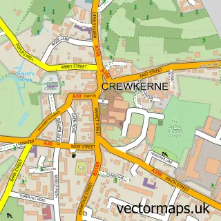
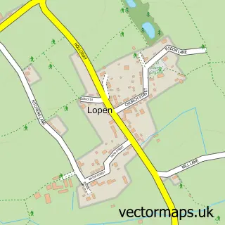
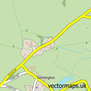
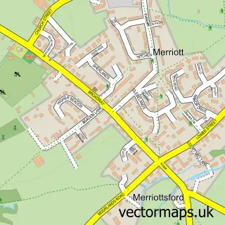
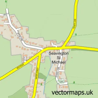
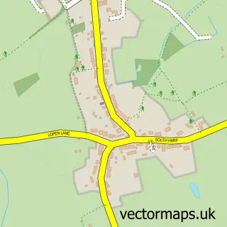
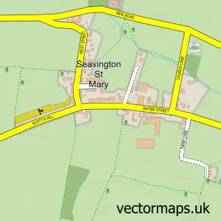
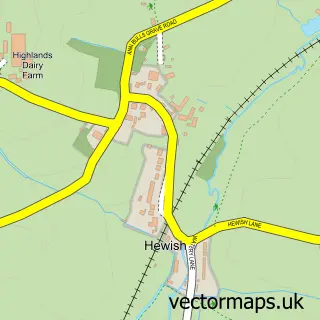
Nearby street map samples around Hinton St George

More street maps in Somerset
750 metre map area coverage
Boundary, postcode and point of interest information for the 750m x 750m rectangle centred on this sample map.
Boundaries containing map centre
Constituency: Yeovil Co Const
District: Somerset
Icb: NHS Somerset ICB
Parish: Hinton St. George CP
Police Force: avon and somerset
Postcode District: TA17
Postcode Sector: TA17 8
Nearby boundaries intersecting sample
No additional intersecting boundaries found.
Postcode coverage
POI category counts
Anglican Church: 2
Antique Store: 1
Art Gallery: 1
Business Consulting: 1
Church Cathedral: 1
Community Center: 1
Currency Exchange: 1
Doctor: 1
Education: 1
Elementary School: 1
Sample points of interest
- St George's Church
- St George, Hinton St George
- George Kirkbride Antiques
- Cows on canvas
- Wyvern Business Support
- Church of St George, Hinton St George
- Hinton St George Village Hall
- Post Office Travel Money
- Hinton Holistics
- Hinton St George C of E First School
- Hinton St George Primary School
- Crewkerne House Clearance
Create a larger editable map of Hinton St George
This sample shows only a 750 metre area. To create a larger map of Hinton St George, use our map builder to choose your own coverage area, add titles and download editable SVG, PDF and PNG files.
Create a custom map of Hinton St George