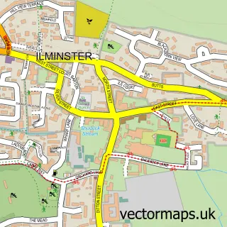
This Shepton Beauchamp street map is a detailed vector street map covering a 750m x 750m area. Select a larger area to create and download your own vector street map of Shepton Beauchamp.
The 750-metre map sample for Shepton Beauchamp covers 189 mapped buildings and approximately 10.2 km of road detail, of which 14 named roads are named. The immediate area includes 1 school, 2 pubs and 1 MOT station within 2 miles. The wider area around Shepton Beauchamp features 1 tourism point of interest and 2 food and drink venues. To create a larger or custom map of Shepton Beauchamp, the map builder lets you define your own coverage area and download editable SVG, PDF and PNG files.
Create a larger editable map of Shepton Beauchamp
Choose any area you need and generate a high-quality vector map instantly. Perfect for print, planning, design, business and personal use.

This Shepton Beauchamp street map in Somerset is available as downloadable SVG, PDF and PNG map files, or as a printed map for planning, business, display, education, local information and design work. You can also create a larger custom map area using the map selector.
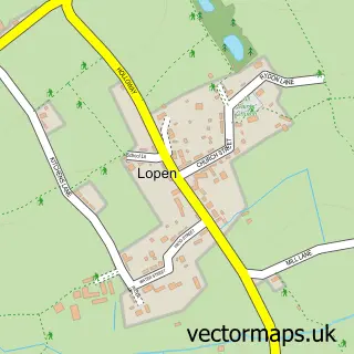
What this Shepton Beauchamp map sample shows
Shepton Beauchamp lies within Shepton Beauchamp Cp parish, part of South Petherton ward in the Somerset local authority area. The postcode geography for this area includes the TA postcode area, the TA19 postcode district and the TA19 0 postcode sector. Residents fall under the Nhs Somerset Integrated Care Board for NHS services.
Local features near Shepton Beauchamp
Within 2 milesAmenities and services in and around Shepton Beauchamp.
Administrative and postcode information for Shepton Beauchamp
Shepton Beauchamp lies within Shepton Beauchamp Cp parish, part of South Petherton ward in the Somerset local authority area. The postcode geography for this area includes the TA postcode area, the TA19 postcode district and the TA19 0 postcode sector. Residents fall under the Nhs Somerset Integrated Care Board for NHS services.
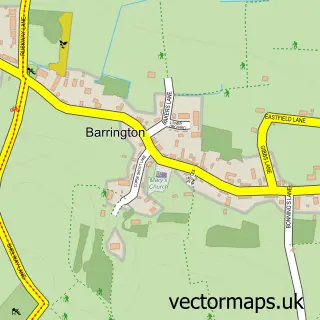
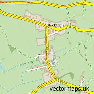
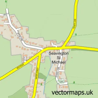
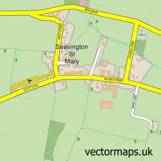
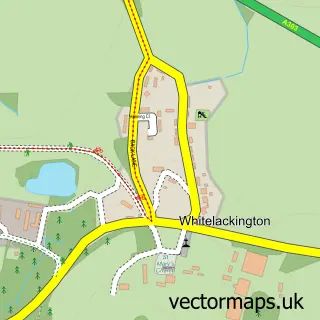
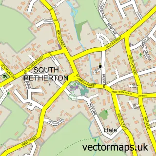
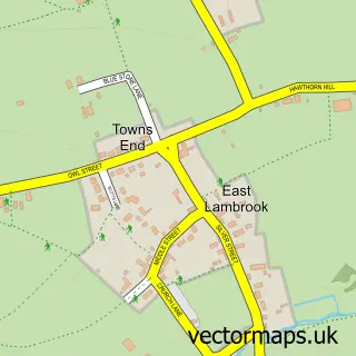
Nearby street map samples around Shepton Beauchamp

More street maps in Somerset
750 metre map area coverage
Boundary, postcode and point of interest information for the 750m x 750m rectangle centred on this sample map.
Boundaries containing map centre
Constituency: Yeovil Co Const
District: Somerset
Icb: NHS Somerset ICB
Parish: Shepton Beauchamp CP
Police Force: avon and somerset
Postcode District: TA19
Postcode Sector: TA19 0
Nearby boundaries intersecting sample
No additional intersecting boundaries found.
Postcode coverage
POI category counts
Hair Salon: 2
Pub: 2
Anglican Church: 1
Assisted Living Facility: 1
Beauty Salon: 1
Building Supply Store: 1
Clothing Store: 1
Contractor: 1
Convenience Store: 1
Counseling And Mental Health: 1
Sample points of interest
- St Michael's
- Yarlington Housing Group
- The Hair & Beauty Lounge Shepton
- Garden, Farm & Country Services
- Corporate Works
- Horgan Developments
- Shepton Stores Kitchen and Deli
- Michael Burnell Counselling
- Shepton Beauchamp Primary School
- Enkangala Lowlines
- Dennis Chinaworks
- Beauty Queenz Hair Salon
Create a larger editable map of Shepton Beauchamp
This sample shows only a 750 metre area. To create a larger map of Shepton Beauchamp, use our map builder to choose your own coverage area, add titles and download editable SVG, PDF and PNG files.
Create a custom map of Shepton Beauchamp