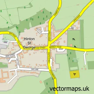
This Dowlish Wake street map is a detailed vector street map covering a 750m x 750m area. Select a larger area to create and download your own vector street map of Dowlish Wake.
The 750-metre map sample for Dowlish Wake covers 101 mapped buildings and approximately 5.8 km of road detail, of which 2 named roads are named. The immediate area includes 2 GP surgeries within 2 miles and 2 pubs. The wider area around Dowlish Wake features 3 food and drink venues. To create a larger or custom map of Dowlish Wake, the map builder lets you define your own coverage area and download editable SVG, PDF and PNG files.
Create a larger editable map of Dowlish Wake
Choose any area you need and generate a high-quality vector map instantly. Perfect for print, planning, design, business and personal use.

This Dowlish Wake street map in Somerset is available as downloadable SVG, PDF and PNG map files, or as a printed map for planning, business, display, education, local information and design work. You can also create a larger custom map area using the map selector.
What this Dowlish Wake map sample shows
Dowlish Wake lies within Dowlish Wake Cp parish, part of Windwhistle ward in the Somerset local authority area. The postcode geography for this area includes the TA postcode area, the TA19 postcode district and the TA19 0 postcode sector. Residents fall under the Nhs Somerset Integrated Care Board for NHS services.
Local features near Dowlish Wake
Within 2 milesAmenities and services in and around Dowlish Wake.
Administrative and postcode information for Dowlish Wake
The local authority covering Dowlish Wake is Somerset, within the county of Somerset. The settlement lies within Windwhistle ward and Dowlish Wake Cp civil parish. The TA19 postcode district and TA19 0 postcode sector serve the immediate area. NHS provision in the area is delivered through Somerset Nhs Foundation Trust.
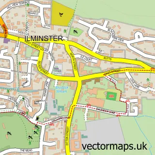
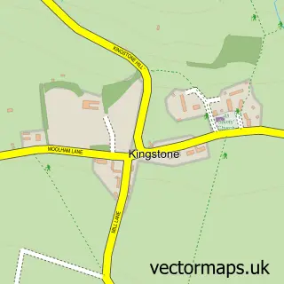
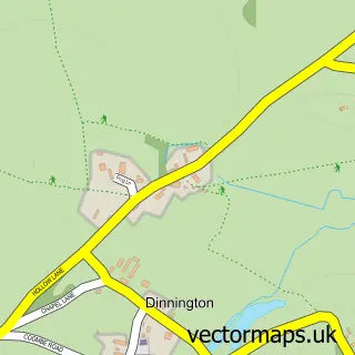
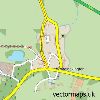
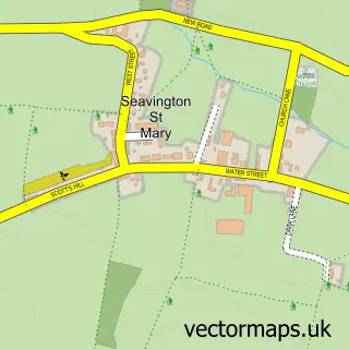
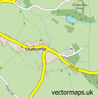
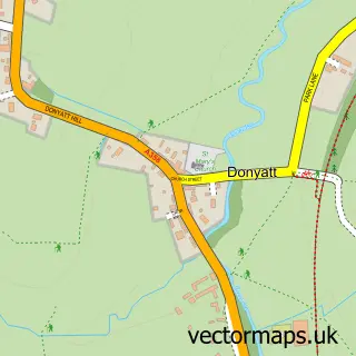
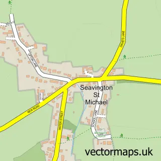
Nearby street map samples around Dowlish Wake

More street maps in Somerset
750 metre map area coverage
Boundary, postcode and point of interest information for the 750m x 750m rectangle centred on this sample map.
Boundaries containing map centre
Constituency: Yeovil Co Const
District: Somerset
Icb: NHS Somerset ICB
Parish: Dowlish Wake CP
Police Force: avon and somerset
Postcode District: TA19
Postcode Sector: TA19 0
Nearby boundaries intersecting sample
No additional intersecting boundaries found.
Postcode coverage
POI category counts
Bed And Breakfast: 2
Pub: 2
Anglican Church: 1
Art Gallery: 1
Brewery: 1
Cafe: 1
Cidery: 1
Gym: 1
Travel: 1
Sample points of interest
- St Andrew
- Meeting House Arts Centre
- Becky Jam Somerset
- Brook House Boutique B&B
- Perry's Cider Mills
- Canteen at Perry's Cider Mills
- Perry's Cider Farm
- Dowlish Wake Croquet Club
- New Inn Dowlish Wake
- The New Inn
- Liberty Car Tours
Create a larger editable map of Dowlish Wake
This sample shows only a 750 metre area. To create a larger map of Dowlish Wake, use our map builder to choose your own coverage area, add titles and download editable SVG, PDF and PNG files.
Create a custom map of Dowlish Wake