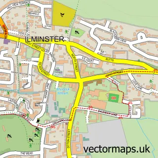
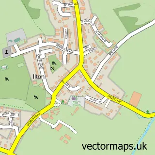
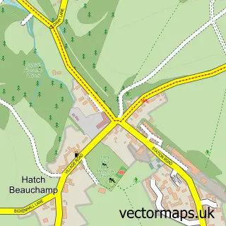
This Broadway street map is a detailed vector street map covering a 750m x 750m area. Select a larger area to create and download your own vector street map of Broadway.
The 750-metre map sample for Broadway covers 258 mapped buildings and approximately 8.0 km of road detail, of which 15 named roads are named. The immediate area includes 1 GP surgery within 2 miles, 1 pub and 3 MOT stations within 2 miles. The wider area around Broadway features 1 food and drink venue. To create a larger or custom map of Broadway, the map builder lets you define your own coverage area and download editable SVG, PDF and PNG files.
Create a larger editable map of Broadway
Choose any area you need and generate a high-quality vector map instantly. Perfect for print, planning, design, business and personal use.

This Broadway street map in Somerset is available as downloadable SVG, PDF and PNG map files, or as a printed map for planning, business, display, education, local information and design work. You can also create a larger custom map area using the map selector.
What this Broadway map sample shows
Broadway lies within Broadway Cp parish, part of Neroche ward in the Somerset local authority area. The postcode geography for this area includes the TA postcode area, the TA19 postcode district and the TA19 9 postcode sector. Residents fall under the Nhs Somerset Integrated Care Board for NHS services.
Local features near Broadway
Within 2 milesAmenities and services in and around Broadway.
Administrative and postcode information for Broadway
The local authority covering Broadway is Somerset, within the county of Somerset. The settlement lies within Neroche ward and Broadway Cp civil parish. The TA19 postcode district and TA19 9 postcode sector serve the immediate area. NHS provision in the area is delivered through Somerset Nhs Foundation Trust.
Nearby street map samples around Broadway

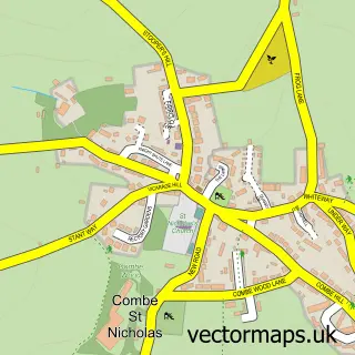
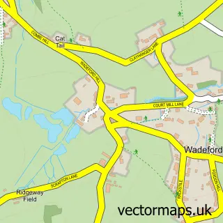
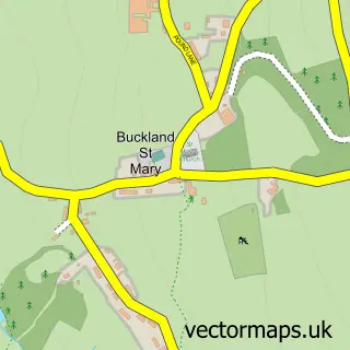
More street maps in Somerset
750 metre map area coverage
Boundary, postcode and point of interest information for the 750m x 750m rectangle centred on this sample map.
Boundaries containing map centre
Constituency: Yeovil Co Const
District: Somerset
Icb: NHS Somerset ICB
Parish: Broadway CP
Police Force: avon and somerset
Postcode District: TA19
Postcode Sector: TA19 9
Nearby boundaries intersecting sample
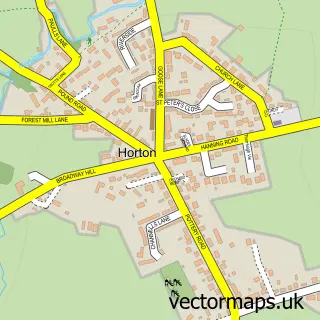
Parish: Horton CP
Postcode coverage
POI category counts
Advertising Agency: 1
Automotive Repair: 1
Bed And Breakfast: 1
Building Contractor: 1
Building Supply Store: 1
Cottage: 1
Pest Control Service: 1
Photography Store And Services: 1
Pub: 1
Sewing And Alterations: 1
Sample points of interest
- The Writing Hut
- etyres South Somerset
- Boudoir & Brunch
- S a Windows
- CMT Carpentry Services
- Two Oaks Shepherds Hut
- M J Pest Control
- Soul Photography
- The Bell at Broadway
- Karen Sews
Create a larger editable map of Broadway
This sample shows only a 750 metre area. To create a larger map of Broadway, use our map builder to choose your own coverage area, add titles and download editable SVG, PDF and PNG files.
Create a custom map of Broadway