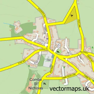
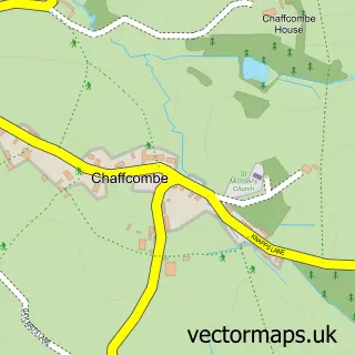
This Horton street map is a detailed vector street map covering a 750m x 750m area. Select a larger area to create and download your own vector street map of Horton.
The 750-metre map sample for Horton covers 327 mapped buildings and approximately 11.6 km of road detail, of which 22 named roads are named. The immediate area includes 1 GP surgery within 2 miles, 2 pubs and 3 MOT stations within 2 miles. The wider area around Horton features 2 food and drink venues. To create a larger or custom map of Horton, the map builder lets you define your own coverage area and download editable SVG, PDF and PNG files.
Create a larger editable map of Horton
Choose any area you need and generate a high-quality vector map instantly. Perfect for print, planning, design, business and personal use.

This Horton street map in Somerset is available as downloadable SVG, PDF and PNG map files, or as a printed map for planning, business, display, education, local information and design work. You can also create a larger custom map area using the map selector.
What this Horton map sample shows
Horton lies within Horton Cp parish, part of Neroche ward in the Somerset local authority area. The postcode geography for this area includes the TA postcode area, the TA19 postcode district and the TA19 9 postcode sector. Residents fall under the Nhs Somerset Integrated Care Board for NHS services.
Local features near Horton
Within 2 milesAmenities and services in and around Horton.
Administrative and postcode information for Horton
The local authority covering Horton is Somerset, within the county of Somerset. The settlement lies within Neroche ward and Horton Cp civil parish. The TA19 postcode district and TA19 9 postcode sector serve the immediate area. NHS provision in the area is delivered through Somerset Nhs Foundation Trust.
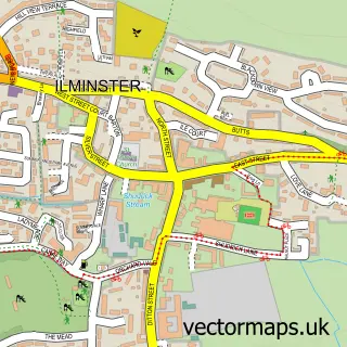
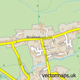
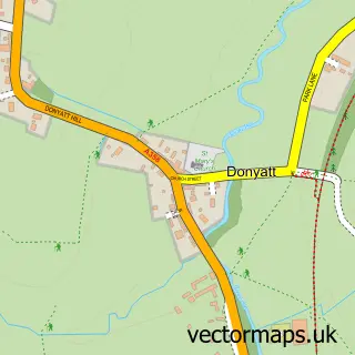
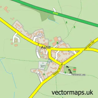
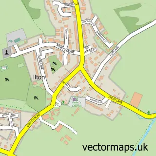
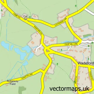
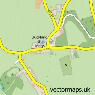
Nearby street map samples around Horton

More street maps in Somerset
750 metre map area coverage
Boundary, postcode and point of interest information for the 750m x 750m rectangle centred on this sample map.
Boundaries containing map centre
Constituency: Yeovil Co Const
District: Somerset
Icb: NHS Somerset ICB
Parish: Horton CP
Police Force: avon and somerset
Postcode District: TA19
Postcode Sector: TA19 9
Nearby boundaries intersecting sample
Parish: Broadway CP
Postcode coverage
POI category counts
Pub: 2
Sewing And Alterations: 2
Anglican Church: 1
Community Center: 1
Gardener: 1
Home Cleaning: 1
Home Improvement Store: 1
Home Service: 1
Interior Design: 1
Kitchen Supply Store: 1
Sample points of interest
- St Peter
- Horton Village Hall
- Evergreen Landscaping & Garden Maintenance
- OvenSpa oven cleaning
- Munky Wood Art
- Little Boots Day Nursery
- Pound Design Interiors
- AJB Design
- Horton Post Office
- The Five Dials Inn
- The Five Dials Inn
- Karen Sews
Create a larger editable map of Horton
This sample shows only a 750 metre area. To create a larger map of Horton, use our map builder to choose your own coverage area, add titles and download editable SVG, PDF and PNG files.
Create a custom map of Horton