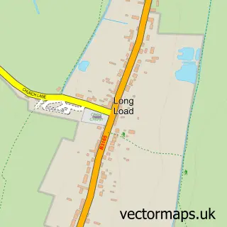
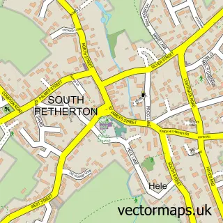
This Kingsbury Episcopi street map is a detailed vector street map covering a 750m x 750m area. Select a larger area to create and download your own vector street map of Kingsbury Episcopi.
The 750-metre map sample for Kingsbury Episcopi covers 217 mapped buildings and approximately 8.7 km of road detail, of which 13 named roads are named. The immediate area includes 1 pub and 2 MOT stations within 2 miles. The wider area around Kingsbury Episcopi features 1 tourism point of interest, 1 food and drink venue and 2 campsites within 2 miles. To create a larger or custom map of Kingsbury Episcopi, the map builder lets you define your own coverage area and download editable SVG, PDF and PNG files.
Create a larger editable map of Kingsbury Episcopi
Choose any area you need and generate a high-quality vector map instantly. Perfect for print, planning, design, business and personal use.

This Kingsbury Episcopi street map in Somerset is available as downloadable SVG, PDF and PNG map files, or as a printed map for planning, business, display, education, local information and design work. You can also create a larger custom map area using the map selector.
What this Kingsbury Episcopi map sample shows
Kingsbury Episcopi lies within Kingsbury Episcopi Cp parish, part of Burrow Hill ward in the Somerset local authority area. The postcode geography for this area includes the TA postcode area, the TA12 postcode district and the TA12 6 postcode sector. Residents fall under the Nhs Somerset Integrated Care Board for NHS services.
Local features near Kingsbury Episcopi
Within 2 milesAmenities and services in and around Kingsbury Episcopi.
Administrative and postcode information for Kingsbury Episcopi
Kingsbury Episcopi lies within Kingsbury Episcopi Cp parish, part of Burrow Hill ward in the Somerset local authority area. The postcode geography for this area includes the TA postcode area, the TA12 postcode district and the TA12 6 postcode sector. Residents fall under the Nhs Somerset Integrated Care Board for NHS services.
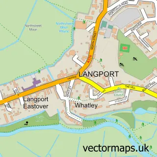
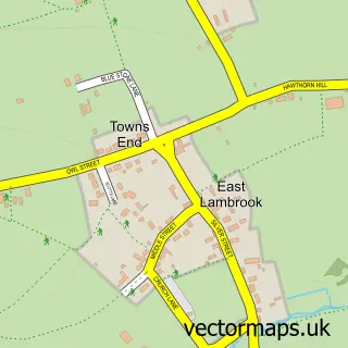
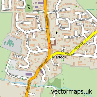
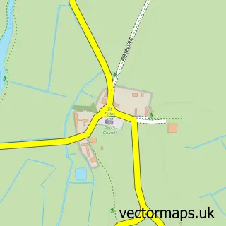
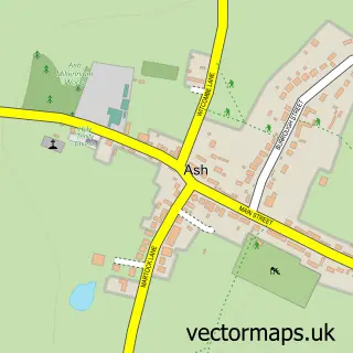
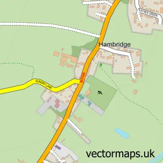
Nearby street map samples around Kingsbury Episcopi

More street maps in Somerset
750 metre map area coverage
Boundary, postcode and point of interest information for the 750m x 750m rectangle centred on this sample map.
Boundaries containing map centre
Constituency: Glastonbury and Somerton Co Const
District: Somerset
Icb: NHS Somerset ICB
Parish: Kingsbury Episcopi CP
Police Force: avon and somerset
Postcode District: TA12
Postcode Sector: TA12 6
Nearby boundaries intersecting sample
Parish: Martock CP
Postcode coverage
POI category counts
Grocery Store: 2
Accommodation: 1
Anglican Church: 1
Beauty Salon: 1
Building Supply Store: 1
Church Cathedral: 1
Community Center: 1
Community Services Non Profits: 1
Electrician: 1
Furniture Store: 1
Sample points of interest
- Craftsman's Cabin
- St Martin's
- Hair at the manor
- Paul Day Architectural Designs
- Kingsbury Episcopi Methodist Church
- Kingsbury Episcopi Community Centre, Shop and Cafe
- Kingsbury Time Travellers
- Irvines Electrical
- Weatherly Studios LLP
- Kingsbury Dental Laboratory
- Kingsbury Community Shop & Cafe
- Somerset Cider Brandy Co
Create a larger editable map of Kingsbury Episcopi
This sample shows only a 750 metre area. To create a larger map of Kingsbury Episcopi, use our map builder to choose your own coverage area, add titles and download editable SVG, PDF and PNG files.
Create a custom map of Kingsbury Episcopi