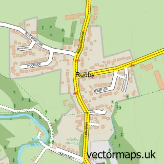
This Stokesley street map is a detailed vector street map covering a 750m x 750m area. Select a larger area to create and download your own vector street map of Stokesley.
The 750-metre map sample for Stokesley covers 402 mapped buildings and approximately 15.2 km of road detail, of which 32 named roads are named. The immediate area includes 1 school, 1 GP surgery, 6 pubs and 1 MOT station, with 5 within 2 miles. The wider area around Stokesley features 1 tourism point of interest, 16 food and drink venues and 1 hotel. To create a larger or custom map of Stokesley, the map builder lets you define your own coverage area and download editable SVG, PDF and PNG files.
Create a larger editable map of Stokesley
Choose any area you need and generate a high-quality vector map instantly. Perfect for print, planning, design, business and personal use.

This Stokesley street map in North Yorkshire is available as downloadable SVG, PDF and PNG map files, or as a printed map for planning, business, display, education, local information and design work. You can also create a larger custom map area using the map selector.
What this Stokesley map sample shows
Stokesley lies within Stokesley Cp parish, part of Stokesley ward in the North Yorkshire local authority area. The postcode geography for this area includes the TS postcode area, the TS9 postcode district and the TS9 5 postcode sector. Residents fall under the Nhs Humber And North Yorkshire Integrated Care Board for NHS services.
Local features near Stokesley
Within 2 milesAmenities and services in and around Stokesley.
Administrative and postcode information for Stokesley
Stokesley lies within Stokesley Cp parish, part of Stokesley ward in the North Yorkshire local authority area. The postcode geography for this area includes the TS postcode area, the TS9 postcode district and the TS9 5 postcode sector. Residents fall under the Nhs Humber And North Yorkshire Integrated Care Board for NHS services.
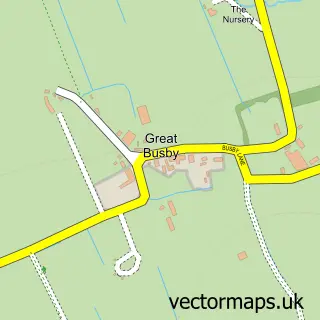
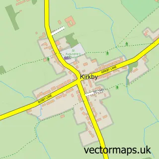
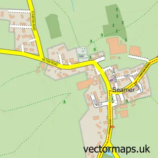
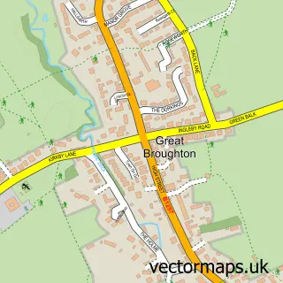
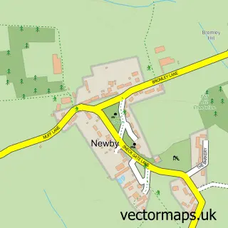
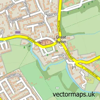
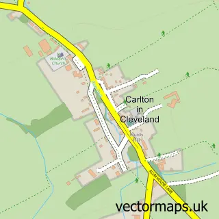
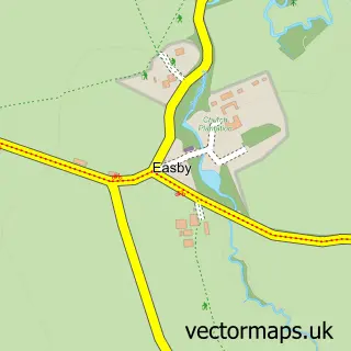
Nearby street map samples around Stokesley

More street maps in North Yorkshire
750 metre map area coverage
Boundary, postcode and point of interest information for the 750m x 750m rectangle centred on this sample map.
Boundaries containing map centre
Constituency: Richmond and Northallerton Co Const
District: North Yorkshire
Icb: NHS Humber and North Yorkshire ICB
Parish: Stokesley CP
Police Force: north yorkshire
Postcode District: TS9
Postcode Sector: TS9 5
Nearby boundaries intersecting sample
No additional intersecting boundaries found.
Postcode coverage
POI category counts
Beauty Salon: 11
Hair Salon: 7
Professional Services: 6
Pub: 6
Advertising Agency: 5
Convenience Store: 5
Flowers And Gifts Shop: 5
Real Estate Agent: 5
Banks: 4
Beauty And Spa: 4
Sample points of interest
- Positive Accounting
- Ad Agency
- Ad Agency
- Baxter Promotions
- J S Designs
- Mills Advertising & Publicity
- Acupuncture
- Andrew Cross
- Tai Chi Class
- St Peter & St Paul Parish Church
- Bear Necessity
- Ripping Yarns
Create a larger editable map of Stokesley
This sample shows only a 750 metre area. To create a larger map of Stokesley, use our map builder to choose your own coverage area, add titles and download editable SVG, PDF and PNG files.
Create a custom map of Stokesley