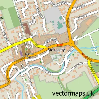
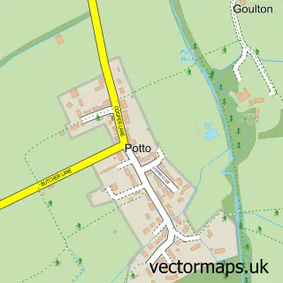
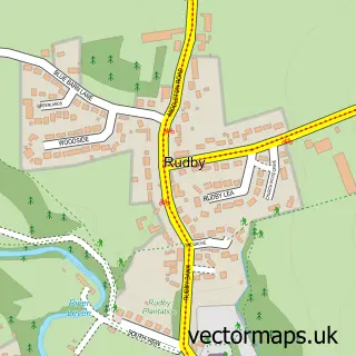
This Carlton in Cleveland street map is a detailed vector street map covering a 750m x 750m area. Select a larger area to create and download your own vector street map of Carlton in Cleveland.
The 750-metre map sample for Carlton in Cleveland covers 95 mapped buildings and approximately 8.2 km of road detail, of which 2 named roads are named. The immediate area includes 1 school and 2 pubs. The wider area around Carlton in Cleveland features 2 tourism points of interest, 2 food and drink venues and 3 hotels. To create a larger or custom map of Carlton in Cleveland, the map builder lets you define your own coverage area and download editable SVG, PDF and PNG files.
Create a larger editable map of Carlton in Cleveland
Choose any area you need and generate a high-quality vector map instantly. Perfect for print, planning, design, business and personal use.

This Carlton in Cleveland street map in North Yorkshire is available as downloadable SVG, PDF and PNG map files, or as a printed map for planning, business, display, education, local information and design work. You can also create a larger custom map area using the map selector.
What this Carlton in Cleveland map sample shows
Carlton in Cleveland lies within Carlton Cp parish, part of Osmotherley & Swainby ward in the North Yorkshire local authority area. The postcode geography for this area includes the TS postcode area, the TS9 postcode district and the TS9 7 postcode sector. Residents fall under the Nhs Humber And North Yorkshire Integrated Care Board for NHS services.
Local features near Carlton in Cleveland
Within 2 milesAmenities and services in and around Carlton in Cleveland.
Administrative and postcode information for Carlton in Cleveland
Carlton in Cleveland lies within Carlton Cp parish, part of Osmotherley & Swainby ward in the North Yorkshire local authority area. The postcode geography for this area includes the TS postcode area, the TS9 postcode district and the TS9 7 postcode sector. Residents fall under the Nhs Humber And North Yorkshire Integrated Care Board for NHS services.
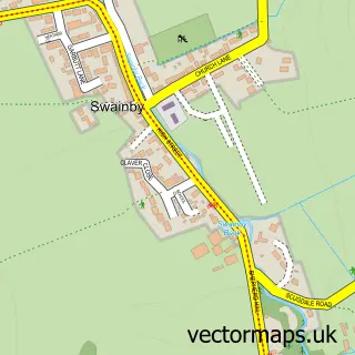
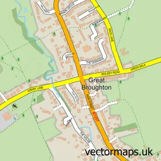
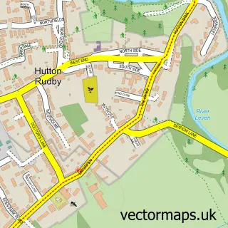
Nearby street map samples around Carlton in Cleveland

More street maps in North Yorkshire
750 metre map area coverage
Boundary, postcode and point of interest information for the 750m x 750m rectangle centred on this sample map.
Boundaries containing map centre
Constituency: Richmond and Northallerton Co Const
District: North Yorkshire
Icb: NHS Humber and North Yorkshire ICB
Parish: Carlton CP
Police Force: north yorkshire
Postcode District: TS9
Postcode Sector: TS9 7
Nearby boundaries intersecting sample
Parish: Little Busby CP
Postcode coverage
POI category counts
Hotel: 3
Pub: 2
Accommodation: 1
Anglican Church: 1
Attractions And Activities: 1
Elementary School: 1
Landmark And Historical Building: 1
Lodge: 1
Youth Organizations: 1
Sample points of interest
- Blackwell Lodges
- St Botolph, Carlton
- Carlton Adventure
- Carlton and Faceby C Of E Primary School
- Blackwell Lodges
- General Tarleton Inn
- Weavers Cottage, Carlton
- Carlton
- Roseberry Lodge
- Blackwell Ox Inn
- The Blackwell Ox Inn Carlton in Cleveland Stokesley
- Watson Scout Centre
Create a larger editable map of Carlton in Cleveland
This sample shows only a 750 metre area. To create a larger map of Carlton in Cleveland, use our map builder to choose your own coverage area, add titles and download editable SVG, PDF and PNG files.
Create a custom map of Carlton in Cleveland