This Swainby street map is a detailed vector street map covering a 750m x 750m area. Select a larger area to create and download your own vector street map of Swainby.
The 750-metre map sample for Swainby covers 158 mapped buildings and approximately 9.1 km of road detail, of which 11 named roads are named. The immediate area includes 1 pub. The wider area around Swainby features 2 tourism points of interest and 1 food and drink venue. To create a larger or custom map of Swainby, the map builder lets you define your own coverage area and download editable SVG, PDF and PNG files.
Create a larger editable map of Swainby
Choose any area you need and generate a high-quality vector map instantly. Perfect for print, planning, design, business and personal use.

This Swainby street map in North Yorkshire is available as downloadable SVG, PDF and PNG map files, or as a printed map for planning, business, display, education, local information and design work. You can also create a larger custom map area using the map selector.
What this Swainby map sample shows
Swainby lies within Whorlton Cp parish, part of Osmotherley & Swainby ward in the North Yorkshire local authority area. The postcode geography for this area includes the DL postcode area, the DL6 postcode district and the DL6 3 postcode sector. Residents fall under the Nhs Humber And North Yorkshire Integrated Care Board for NHS services.
Local features near Swainby
Within 2 milesAmenities and services in and around Swainby.
Administrative and postcode information for Swainby
The local authority covering Swainby is North Yorkshire, within the county of North Yorkshire. The settlement lies within Osmotherley & Swainby ward and Whorlton Cp civil parish. The DL6 postcode district and DL6 3 postcode sector serve the immediate area. NHS provision in the area is delivered through South Tees Hospitals Nhs Foundation Trust.
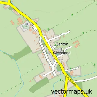
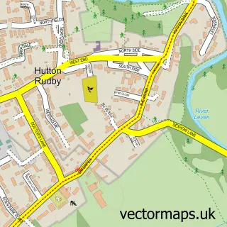
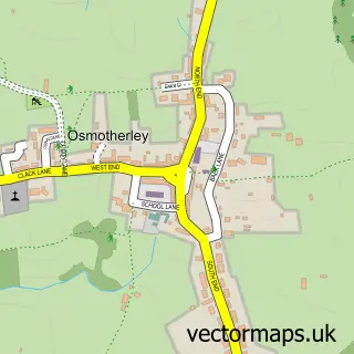
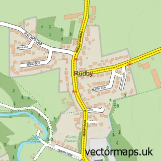
Nearby street map samples around Swainby


More street maps in North Yorkshire
750 metre map area coverage
Boundary, postcode and point of interest information for the 750m x 750m rectangle centred on this sample map.
Boundaries containing map centre
Constituency: Richmond and Northallerton Co Const
District: North Yorkshire
Icb: NHS Humber and North Yorkshire ICB
Parish: Whorlton CP
Police Force: north yorkshire
Postcode District: DL6
Postcode Sector: DL6 3
Nearby boundaries intersecting sample
No additional intersecting boundaries found.
Postcode coverage
POI category counts
Park: 2
Anglican Church: 1
Auto Parts And Supply Store: 1
Bar: 1
Building Supply Store: 1
Car Dealer: 1
Electrician: 1
Event Planning: 1
Flowers And Gifts Shop: 1
Information Technology Company: 1
Sample points of interest
- Holy Cross, Swainby
- Vacuum8 Cleaning Services Ltd.
- The Black Horse
- H T Energy
- Retro Classic Car
- Andrew Porritt Electrical Services
- Holy Cross Church Hall
- 10 Good Reasons
- Complete IT Solutions.
- TPL Apparel
- Maguires Country Parks
- Swainby Country Park
Create a larger editable map of Swainby
This sample shows only a 750 metre area. To create a larger map of Swainby, use our map builder to choose your own coverage area, add titles and download editable SVG, PDF and PNG files.
Create a custom map of Swainby