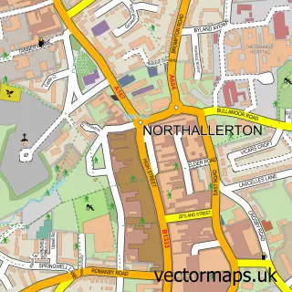
This Ingleby Arncliffe street map is a detailed vector street map covering a 750m x 750m area. Select a larger area to create and download your own vector street map of Ingleby Arncliffe.
The 750-metre map sample for Ingleby Arncliffe covers 124 mapped buildings and approximately 10.6 km of road detail, of which 4 named roads are named. The immediate area includes 1 pub. The wider area around Ingleby Arncliffe features 2 tourism points of interest, 3 food and drink venues and 2 campsites within 2 miles. To create a larger or custom map of Ingleby Arncliffe, the map builder lets you define your own coverage area and download editable SVG, PDF and PNG files.
Create a larger editable map of Ingleby Arncliffe
Choose any area you need and generate a high-quality vector map instantly. Perfect for print, planning, design, business and personal use.

This Ingleby Arncliffe street map in North Yorkshire is available as downloadable SVG, PDF and PNG map files, or as a printed map for planning, business, display, education, local information and design work. You can also create a larger custom map area using the map selector.
What this Ingleby Arncliffe map sample shows
Ingleby Arncliffe lies within Ingleby Arncliffe Cp parish, part of Osmotherley & Swainby ward in the North Yorkshire local authority area. The postcode geography for this area includes the DL postcode area, the DL6 postcode district and the DL6 3 postcode sector. Residents fall under the Nhs Humber And North Yorkshire Integrated Care Board for NHS services.
Local features near Ingleby Arncliffe
Within 2 milesAmenities and services in and around Ingleby Arncliffe.
Administrative and postcode information for Ingleby Arncliffe
The local authority covering Ingleby Arncliffe is North Yorkshire, within the county of North Yorkshire. The settlement lies within Osmotherley & Swainby ward and Ingleby Arncliffe Cp civil parish. The DL6 postcode district and DL6 3 postcode sector serve the immediate area. NHS provision in the area is delivered through South Tees Hospitals Nhs Foundation Trust.
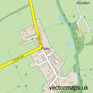
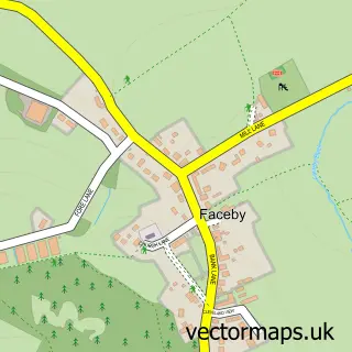
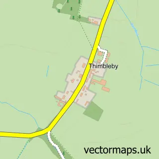
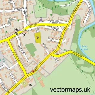
Nearby street map samples around Ingleby Arncliffe


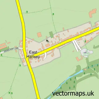
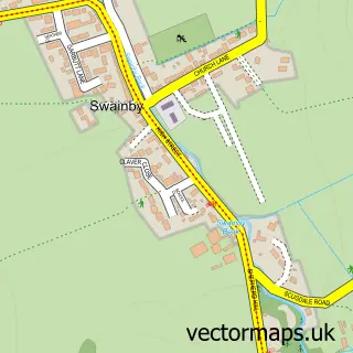
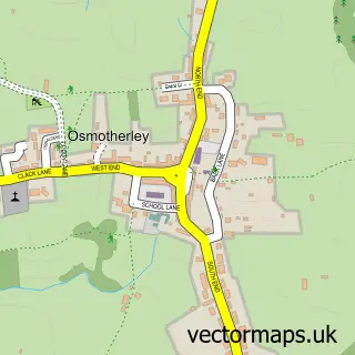
More street maps in North Yorkshire
750 metre map area coverage
Boundary, postcode and point of interest information for the 750m x 750m rectangle centred on this sample map.
Boundaries containing map centre
Constituency: Richmond and Northallerton Co Const
District: North Yorkshire
Icb: NHS Humber and North Yorkshire ICB
Parish: Ingleby Arncliffe CP
Police Force: north yorkshire
Postcode District: DL6
Postcode Sector: DL6 3
Nearby boundaries intersecting sample
No additional intersecting boundaries found.
Postcode coverage
POI category counts
Bed And Breakfast: 3
Coffee Shop: 2
Post Office: 2
Advertising Agency: 1
Atms: 1
Inn: 1
Landmark And Historical Building: 1
Photographer: 1
Pub: 1
Tours: 1
Sample points of interest
- Stayin Norfolk
- Exelby Services (MR- CIT Lock Swap), Ingleby Arncliffe
- Elstavale Bed and Breakfast
- Ingleby House Farm
- Park House Country Guest House
- Rounton Coffee Roasters
- The Joiners Shop
- The Blue Bell Inn
- Ingleby Cross
- Pk4 Images
- Post Office
- Post Office-Ingleby Cross
Create a larger editable map of Ingleby Arncliffe
This sample shows only a 750 metre area. To create a larger map of Ingleby Arncliffe, use our map builder to choose your own coverage area, add titles and download editable SVG, PDF and PNG files.
Create a custom map of Ingleby Arncliffe