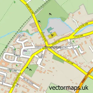
This Northallerton street map is a detailed vector street map covering a 750m x 750m area. Select a larger area to create and download your own vector street map of Northallerton.
The 750-metre map sample for Northallerton covers 294 mapped buildings and approximately 16.3 km of road detail, of which 30 named roads are named. The immediate area includes 2 schools, 2 GP surgeries within 2 miles, 14 pubs and 3 MOT stations, with 10 within 2 miles. The wider area around Northallerton features 5 tourism points of interest, 35 food and drink venues and 4 hotels. To create a larger or custom map of Northallerton, the map builder lets you define your own coverage area and download editable SVG, PDF and PNG files.
Create a larger editable map of Northallerton
Choose any area you need and generate a high-quality vector map instantly. Perfect for print, planning, design, business and personal use.

This Northallerton street map in North Yorkshire is available as downloadable SVG, PDF and PNG map files, or as a printed map for planning, business, display, education, local information and design work. You can also create a larger custom map area using the map selector.
What this Northallerton map sample shows
Northallerton lies within Northallerton Cp parish, part of Northallerton South ward in the North Yorkshire local authority area. The postcode geography for this area includes the DL postcode area, the DL7 postcode district and the DL7 8 postcode sector. Residents fall under the Nhs Humber And North Yorkshire Integrated Care Board for NHS services.
Local features near Northallerton
Within 2 milesAmenities and services in and around Northallerton.
Administrative and postcode information for Northallerton
Northallerton lies within Northallerton Cp parish, part of Northallerton South ward in the North Yorkshire local authority area. The postcode geography for this area includes the DL postcode area, the DL7 postcode district and the DL7 8 postcode sector. Residents fall under the Nhs Humber And North Yorkshire Integrated Care Board for NHS services.
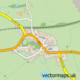
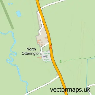
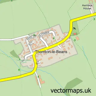
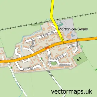
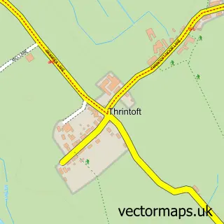
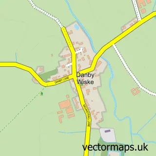
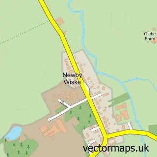
Nearby street map samples around Northallerton


More street maps in North Yorkshire
750 metre map area coverage
Boundary, postcode and point of interest information for the 750m x 750m rectangle centred on this sample map.
Boundaries containing map centre
Constituency: Richmond and Northallerton Co Const
District: North Yorkshire
Icb: NHS Humber and North Yorkshire ICB
Parish: Northallerton CP
Police Force: north yorkshire
Postcode District: DL7
Postcode Sector: DL7 8
Nearby boundaries intersecting sample
Postcode District: DL6
Postcode Sector: DL6 1
Postcode coverage
POI category counts
Clothing Store: 26
Beauty Salon: 19
Hair Salon: 16
Pub: 14
Coffee Shop: 10
Supermarket: 9
Jewelry Store: 8
Mobile Phone Store: 8
Bank Credit Union: 7
Charity Organization: 7
Sample points of interest
- Colin Hutson Accounting Limited
- King Hope & Co
- Northallerton and Thirsk Acupuncture Clinic
- Room For Design
- Elders
- Crows Fair
- All Saints
- All Saints Parish Church
- Eccentric Interiors, Art & Antiques
- Save the Children
- Electrocare
- Andrew Bramley Associates
Create a larger editable map of Northallerton
This sample shows only a 750 metre area. To create a larger map of Northallerton, use our map builder to choose your own coverage area, add titles and download editable SVG, PDF and PNG files.
Create a custom map of Northallerton