Vector Maps logo
Home Why it works Popular maps Districts Samples Customizer Create Your Map
VectorMaps.uk
Home Popular maps Districts Samples Customizer Create Your Map Privacy Disclaimer
Home / UK Maps / North Yorkshire / Yafforth Map

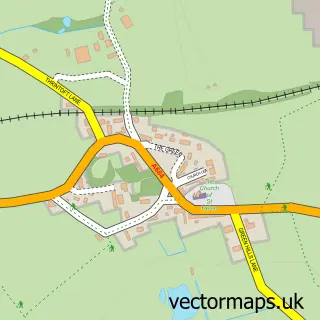
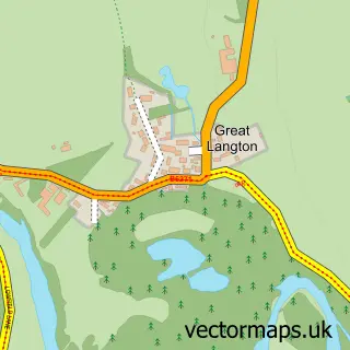
This Yafforth street map is a detailed vector street map covering a 750m x 750m area. Select a larger area to create and download your own vector street map of Yafforth.

Yafforth is a village in North Yorkshire, in the Yorkshire And The Humber of England. Historically, the area formed part of Yorkshire. The settlement falls within the Richmond (Yorks) parliamentary constituency. It is served by the DL7 postcode district,

The 750-metre map sample for Yafforth covers 52 mapped buildings and approximately 7.5 km of road detail, of which 6 named roads are named. The immediate area includes 2 GP surgeries within 2 miles and 10 MOT stations within 2 miles. The wider area around Yafforth features 1 campsite within 2 miles. To create a larger or custom map of Yafforth, the map builder lets you define your own coverage area and download editable SVG, PDF and PNG files.

52Buildings
7.49 kmRoads
6Named roads
6,375Residents within 2 miles
Create your own

Create a larger editable map of Yafforth

Choose any area you need and generate a high-quality vector map instantly. Perfect for print, planning, design, business and personal use.

Choose any location
Editable SVG files
Any size up to A0
PDF, PNG & more
Instant download
High quality guaranteed
Create My Custom Map
Secure, private & no credit card required
Yafforth Vector Street Map
750m Sample
Yafforth vector street map sample showing roads, buildings and local features in a 750 metre preview area
Buy Yafforth Map Print from £12.95 Buy Yafforth Digital Map from £6

This Yafforth street map in North Yorkshire is available as downloadable SVG, PDF and PNG map files, or as a printed map for planning, business, display, education, local information and design work. You can also create a larger custom map area using the map selector.

What this Yafforth map sample shows

Yafforth lies within Yafforth Cp parish, part of Morton-On-Swale ward in the North Yorkshire local authority area. The postcode geography for this area includes the DL postcode area, the DL7 postcode district and the DL7 0 postcode sector. Residents fall under the Nhs Humber And North Yorkshire Integrated Care Board for NHS services.

Local features near Yafforth

Within 2 miles

Amenities and services in and around Yafforth.

1 Campsites within 2 miles
2 GP surgeries within 2 miles
10 MOT stations within 2 miles

Counts are approximate and based on publicly available data.

Administrative and postcode information for Yafforth

Yafforth lies within Yafforth Cp parish, part of Morton-On-Swale ward in the North Yorkshire local authority area. The postcode geography for this area includes the DL postcode area, the DL7 postcode district and the DL7 0 postcode sector. Residents fall under the Nhs Humber And North Yorkshire Integrated Care Board for NHS services.

Parish Yafforth CP
Ward Morton-on-Swale
District / local authority North Yorkshire
County North Yorkshire
Historic county Yorkshire
Postcode district DL7
Postcode sector DL7 0
Parliamentary constituency Richmond (Yorks)
Region Yorkshire and the Humber
Country England

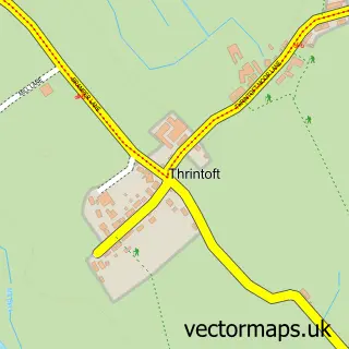
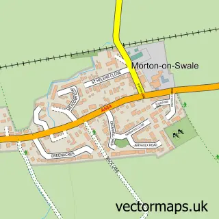
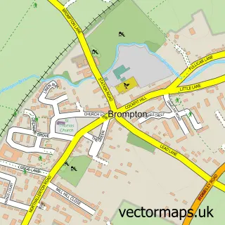
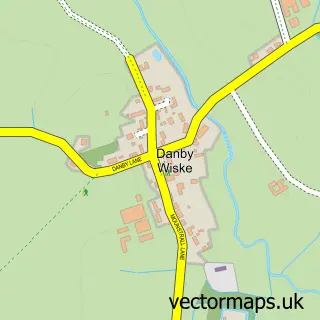
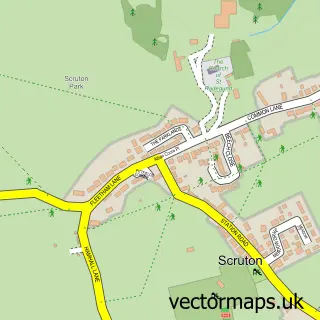
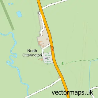
Nearby street map samples around Yafforth

Street map sample of Northallerton, North Yorkshire Northallerton Town - North Yorkshire - 1.6 miles Street map sample of Ripon, North Yorkshire Ripon City - North Yorkshire - 14.5 miles Street map sample of Ainderby Steeple, North Yorkshire Ainderby Steeple Village - North Yorkshire - 1.5 miles Street map sample of Thrintoft, North Yorkshire Thrintoft Village - North Yorkshire - 1.7 miles Street map sample of Morton-on-Swale, North Yorkshire Morton-on-Swale Village - North Yorkshire - 1.8 miles Street map sample of Brompton, North Yorkshire Brompton Village - North Yorkshire - 2.3 miles Street map sample of Danby Wiske, North Yorkshire Danby Wiske Village - North Yorkshire - 2.6 miles Street map sample of Scruton, North Yorkshire Scruton Village - North Yorkshire - 3.0 miles Street map sample of North Otterington, North Yorkshire North Otterington Village - North Yorkshire - 3.2 miles Street map sample of Great Langton, North Yorkshire Great Langton Village - North Yorkshire - 3.2 miles

More street maps in North Yorkshire

Street map sample of Ainderby Steeple, North Yorkshire Ainderby Steeple Village - 1.5 miles Street map sample of Northallerton, North Yorkshire Northallerton Town - 1.6 miles Street map sample of Thrintoft, North Yorkshire Thrintoft Village - 1.7 miles Street map sample of Morton-on-Swale, North Yorkshire Morton-on-Swale Village - 1.8 miles Street map sample of Brompton, North Yorkshire Brompton Village - 2.3 miles

750 metre map area coverage

Boundary, postcode and point of interest information for the 750m x 750m rectangle centred on this sample map.

Boundaries containing map centre

Constituency: Richmond and Northallerton Co Const

District: North Yorkshire

Icb: NHS Humber and North Yorkshire ICB

Parish: Yafforth CP

Police Force: north yorkshire

Postcode District: DL7

Postcode Sector: DL7 0

Nearby boundaries intersecting sample

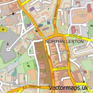
Parish: Northallerton CP, Romanby CP

Postcode coverage

DL7 DL7 0

POI category counts

Church Cathedral: 1

Golf Club: 1

Nursing School: 1

Recycling Center: 1

Rug Store: 1

Taxi Service: 1

Window Supplier: 1

Sample points of interest

  • All Saints' Church Church Cathedral
  • Romanby Golf & Country Club Golf Club
  • Barchester - Mount Vale Care Home Nursing School
  • Northallerton Household Waste Recycling Centre Recycling Center
  • Carpetright Northallerton Rug Store
  • Nite Time Taxis Taxi Service
  • Chatsworth Windows Window Supplier

Create a larger editable map of Yafforth

This sample shows only a 750 metre area. To create a larger map of Yafforth, use our map builder to choose your own coverage area, add titles and download editable SVG, PDF and PNG files.

Create a custom map of Yafforth

Phone 01751 473136 | Copyright Vectormaps.uk 2026

Samples Customizer Privacy Disclaimer
Yafforth Vector Street Map
Yafforth enlarged street map sample showing a 750 metre preview area