This Brompton street map is a detailed vector street map covering a 750m x 750m area. Select a larger area to create and download your own vector street map of Brompton.
The 750-metre map sample for Brompton covers 264 mapped buildings and approximately 13.4 km of road detail, of which 20 named roads are named. The immediate area includes 1 school, 1 GP surgery within 2 miles, 2 pubs and 11 MOT stations within 2 miles. The wider area around Brompton features 1 tourism point of interest, 2 food and drink venues and 1 campsite within 2 miles. To create a larger or custom map of Brompton, the map builder lets you define your own coverage area and download editable SVG, PDF and PNG files.
Create a larger editable map of Brompton
Choose any area you need and generate a high-quality vector map instantly. Perfect for print, planning, design, business and personal use.

This Brompton street map in North Yorkshire is available as downloadable SVG, PDF and PNG map files, or as a printed map for planning, business, display, education, local information and design work. You can also create a larger custom map area using the map selector.
What this Brompton map sample shows
Brompton lies within Brompton Cp parish, part of Northallerton North & Brompton ward in the North Yorkshire local authority area. The postcode geography for this area includes the DL postcode area, the DL6 postcode district and the DL6 2 postcode sector. Residents fall under the Nhs Humber And North Yorkshire Integrated Care Board for NHS services.
Local features near Brompton
Within 2 milesAmenities and services in and around Brompton.
Administrative and postcode information for Brompton
Brompton lies within Brompton Cp parish, part of Northallerton North & Brompton ward in the North Yorkshire local authority area. The postcode geography for this area includes the DL postcode area, the DL6 postcode district and the DL6 2 postcode sector. Residents fall under the Nhs Humber And North Yorkshire Integrated Care Board for NHS services.
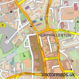
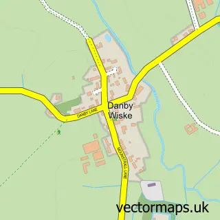
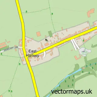
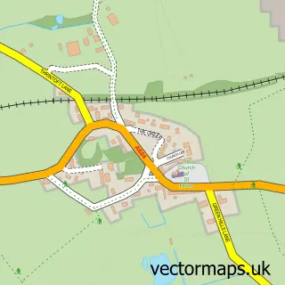
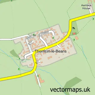
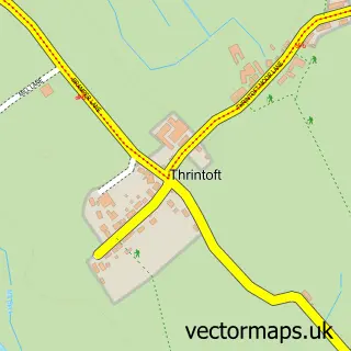
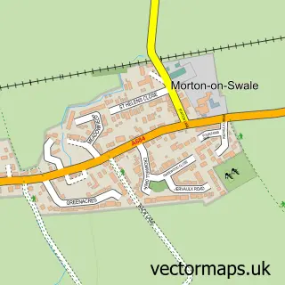
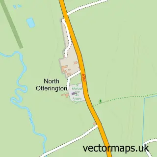
Nearby street map samples around Brompton


More street maps in North Yorkshire
750 metre map area coverage
Boundary, postcode and point of interest information for the 750m x 750m rectangle centred on this sample map.
Boundaries containing map centre
Constituency: Richmond and Northallerton Co Const
District: North Yorkshire
Icb: NHS Humber and North Yorkshire ICB
Parish: Brompton CP
Police Force: north yorkshire
Postcode District: DL6
Postcode Sector: DL6 2
Nearby boundaries intersecting sample
No additional intersecting boundaries found.
Postcode coverage
POI category counts
Church Cathedral: 3
Auto Body Shop: 2
Community Services Non Profits: 2
Farm: 2
Professional Services: 2
Pub: 2
Anglican Church: 1
Automotive: 1
Automotive Dealer: 1
Automotive Repair: 1
Sample points of interest
- St Thomas
- Brompton MOT Centre
- TRM Bodyshop repairs
- DS Trading
- RBS Van Sales
- Dg motors
- Royal Bank of Scotland
- Crown Inn
- Brown & Thackray
- Brompton Methodist Church
- St Thomas Church
- St Thomas Church
Create a larger editable map of Brompton
This sample shows only a 750 metre area. To create a larger map of Brompton, use our map builder to choose your own coverage area, add titles and download editable SVG, PDF and PNG files.
Create a custom map of Brompton