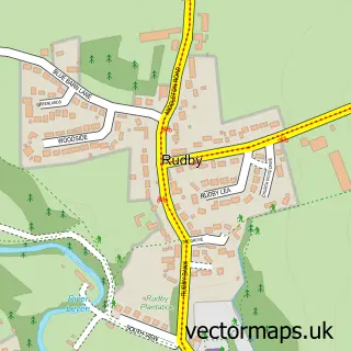
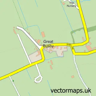
This Hutton Rudby street map is a detailed vector street map covering a 750m x 750m area. Select a larger area to create and download your own vector street map of Hutton Rudby.
The 750-metre map sample for Hutton Rudby covers 301 mapped buildings and approximately 12.1 km of road detail, of which 28 named roads are named. The immediate area includes 5 pubs. The wider area around Hutton Rudby features 6 food and drink venues. To create a larger or custom map of Hutton Rudby, the map builder lets you define your own coverage area and download editable SVG, PDF and PNG files.
Create a larger editable map of Hutton Rudby
Choose any area you need and generate a high-quality vector map instantly. Perfect for print, planning, design, business and personal use.

This Hutton Rudby street map in North Yorkshire is available as downloadable SVG, PDF and PNG map files, or as a printed map for planning, business, display, education, local information and design work. You can also create a larger custom map area using the map selector.
What this Hutton Rudby map sample shows
Hutton Rudby lies within Hutton Rudby Cp parish, part of Hutton Rudby ward in the North Yorkshire local authority area. The postcode geography for this area includes the TS postcode area, the TS15 postcode district and the TS15 0 postcode sector. Residents fall under the Nhs Humber And North Yorkshire Integrated Care Board for NHS services.
Local features near Hutton Rudby
Within 2 milesAmenities and services in and around Hutton Rudby.
Administrative and postcode information for Hutton Rudby
Hutton Rudby lies within Hutton Rudby Cp parish, part of Hutton Rudby ward in the North Yorkshire local authority area. The postcode geography for this area includes the TS postcode area, the TS15 postcode district and the TS15 0 postcode sector. Residents fall under the Nhs Humber And North Yorkshire Integrated Care Board for NHS services.
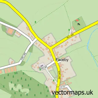
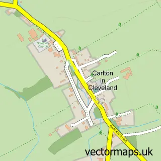
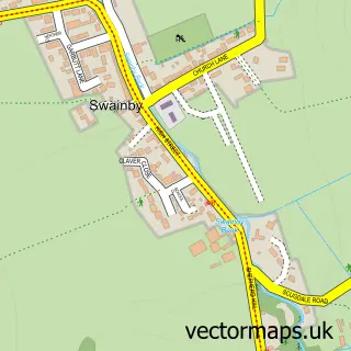
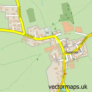
Nearby street map samples around Hutton Rudby

More street maps in North Yorkshire
750 metre map area coverage
Boundary, postcode and point of interest information for the 750m x 750m rectangle centred on this sample map.
Boundaries containing map centre
Constituency: Richmond and Northallerton Co Const
District: North Yorkshire
Icb: NHS Humber and North Yorkshire ICB
Parish: Hutton Rudby CP
Police Force: north yorkshire
Postcode District: TS15
Postcode Sector: TS15 0
Nearby boundaries intersecting sample
Parish: Rudby CP, Skutterskelfe CP
Postcode coverage
POI category counts
Pub: 5
Church Cathedral: 2
Post Office: 2
Appliance Manufacturer: 1
Auction House: 1
Beauty Salon: 1
Beer Bar: 1
Catholic Church: 1
Coffee Shop: 1
Elementary School: 1
Sample points of interest
- Benson Industrials
- Middlesbrough Bird Auction
- Toptotoe Hutton Rudby
- Kings Head
- All Saints Church of Hutton Rudby
- Holy Cross Church, Swainby
- Hutton Rudby Methodist Church
- The Hub at Hutton Rudby
- Hutton Rudby Primary School
- Hutton Rudby Surgery
- Kidz Day Nursery
- MWM Digital Marketing Solutions
Create a larger editable map of Hutton Rudby
This sample shows only a 750 metre area. To create a larger map of Hutton Rudby, use our map builder to choose your own coverage area, add titles and download editable SVG, PDF and PNG files.
Create a custom map of Hutton Rudby