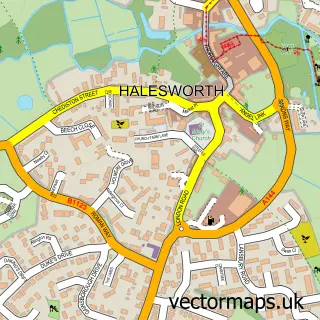
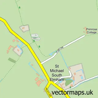
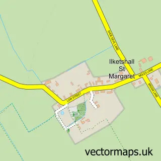
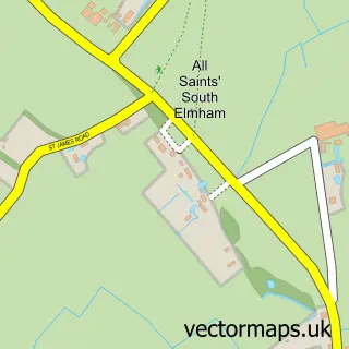
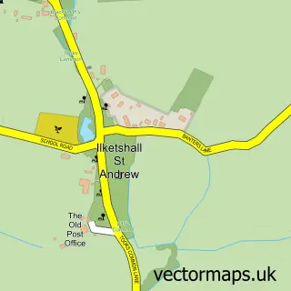
This Stone Street street map is a detailed vector street map covering a 750m x 750m area. Select a larger area to create and download your own vector street map of Stone Street.
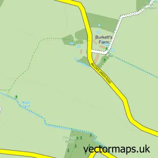
The 750-metre map sample for Stone Street covers 78 mapped buildings and approximately 6.7 km of road detail, of which 5 named roads are named. The immediate area includes 1 school and 1 pub. The wider area around Stone Street features 1 tourism point of interest and 1 food and drink venue. To create a larger or custom map of Stone Street, the map builder lets you define your own coverage area and download editable SVG, PDF and PNG files.
Create a larger editable map of Stone Street
Choose any area you need and generate a high-quality vector map instantly. Perfect for print, planning, design, business and personal use.

This Stone Street street map in Suffolk is available as downloadable SVG, PDF and PNG map files, or as a printed map for planning, business, display, education, local information and design work. You can also create a larger custom map area using the map selector.
What this Stone Street map sample shows
Stone Street lies within Spexhall Cp parish, part of Halesworth & Blything ward in the East Suffolk District local authority area. The postcode geography for this area includes the IP postcode area, the IP19 postcode district and the IP19 0 postcode sector. Residents fall under the Nhs Norfolk And Waveney Integrated Care Board for NHS services.
Local features near Stone Street
Within 2 milesAmenities and services in and around Stone Street.
Administrative and postcode information for Stone Street
Stone Street lies within Spexhall Cp parish, part of Halesworth & Blything ward in the East Suffolk District local authority area. The postcode geography for this area includes the IP postcode area, the IP19 postcode district and the IP19 0 postcode sector. Residents fall under the Nhs Norfolk And Waveney Integrated Care Board for NHS services.
Nearby street map samples around Stone Street

More street maps in Suffolk
750 metre map area coverage
Boundary, postcode and point of interest information for the 750m x 750m rectangle centred on this sample map.
Boundaries containing map centre
Constituency: Waveney Valley Co Const
County: Suffolk County
District: East Suffolk District
Icb: NHS Norfolk and Waveney ICB
Parish: St. Lawrence, Ilketshall CP
Police Force: suffolk
Postcode District: NR34
Postcode Sector: NR34 8
Ward: Bungay & Wainford Ward
Nearby boundaries intersecting sample
Parish: Spexhall CP
Postcode District: IP19
Postcode Sector: IP19 0, IP19 8
Ward: Halesworth & Blything Ward
Postcode coverage
POI category counts
Auto Detailing: 1
Automotive Repair: 1
Dog Trainer: 1
Elementary School: 1
Landmark And Historical Building: 1
Pub: 1
Sports Club And League: 1
Sample points of interest
- Vick's Valeting Services
- Linstead Garage Ltd
- Barking Mad the Dog Training and Behaviour Company
- Ilketshall St Lawrence Primary
- A144 road
- Huntsman & Hounds
- Spexhall Huntsman & Hounds FC
Create a larger editable map of Stone Street
This sample shows only a 750 metre area. To create a larger map of Stone Street, use our map builder to choose your own coverage area, add titles and download editable SVG, PDF and PNG files.
Create a custom map of Stone Street