This Halesworth street map is a detailed vector street map covering a 750m x 750m area. Select a larger area to create and download your own vector street map of Halesworth.
The 750-metre map sample for Halesworth covers 445 mapped buildings and approximately 15.2 km of road detail, of which 38 named roads are named. The immediate area includes 1 GP surgery within 2 miles, 2 pubs and 1 MOT station, with 6 within 2 miles. The wider area around Halesworth features 2 tourism points of interest, 5 food and drink venues and 1 hotel. To create a larger or custom map of Halesworth, the map builder lets you define your own coverage area and download editable SVG, PDF and PNG files.
Create a larger editable map of Halesworth
Choose any area you need and generate a high-quality vector map instantly. Perfect for print, planning, design, business and personal use.

This Halesworth street map in Suffolk is available as downloadable SVG, PDF and PNG map files, or as a printed map for planning, business, display, education, local information and design work. You can also create a larger custom map area using the map selector.
What this Halesworth map sample shows
Halesworth lies within Halesworth Cp parish, part of Halesworth & Blything ward in the East Suffolk District local authority area. The postcode geography for this area includes the IP postcode area, the IP19 postcode district and the IP19 8 postcode sector. Residents fall under the Nhs Norfolk And Waveney Integrated Care Board for NHS services.
Local features near Halesworth
Within 2 milesAmenities and services in and around Halesworth.
Administrative and postcode information for Halesworth
The local authority covering Halesworth is East Suffolk District, within the county of Suffolk. The settlement lies within Halesworth & Blything ward and Halesworth Cp civil parish. The IP19 postcode district and IP19 8 postcode sector serve the immediate area. NHS provision in the area is delivered through James Paget University Hospitals Nhs Foundation Trust.
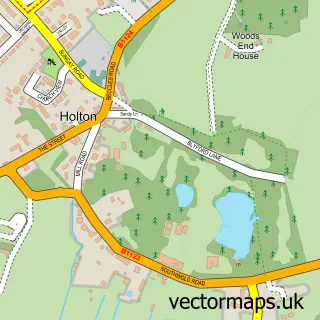
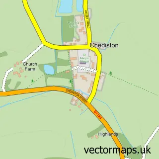
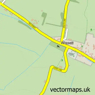
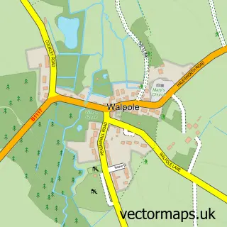
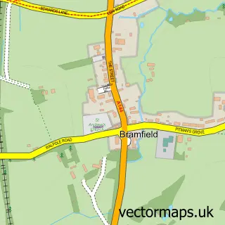
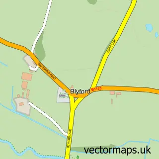
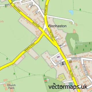
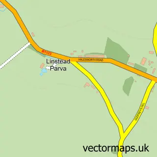
Nearby street map samples around Halesworth

More street maps in Suffolk
750 metre map area coverage
Boundary, postcode and point of interest information for the 750m x 750m rectangle centred on this sample map.
Boundaries containing map centre
Constituency: Waveney Valley Co Const
County: Suffolk County
District: East Suffolk District
Icb: NHS Norfolk and Waveney ICB
Parish: Halesworth CP
Police Force: suffolk
Postcode District: IP19
Postcode Sector: IP19 8
Ward: Halesworth & Blything Ward
Nearby boundaries intersecting sample
No additional intersecting boundaries found.
Postcode coverage
POI category counts
Beauty Salon: 8
Hair Salon: 5
Professional Services: 5
Real Estate Agent: 4
Art Gallery: 3
Bank Credit Union: 3
Bar: 3
Beauty And Spa: 3
Business Management Services: 3
Church Cathedral: 3
Sample points of interest
- van Dijk Accountants
- Folly Forest School
- Halesworth, St Mary
- Blackdog Events
- Hughes
- Frank W Downton
- Harrison & Co
- The Little Gallery
- Halesworth Stationers
- Purple Pumpkin Creative Studio
- The Partnership in Care
- ATM (Post Office)
Create a larger editable map of Halesworth
This sample shows only a 750 metre area. To create a larger map of Halesworth, use our map builder to choose your own coverage area, add titles and download editable SVG, PDF and PNG files.
Create a custom map of Halesworth