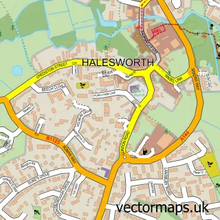
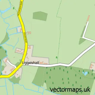
This Holton street map is a detailed vector street map covering a 750m x 750m area. Select a larger area to create and download your own vector street map of Holton.
The 750-metre map sample for Holton covers 174 mapped buildings and approximately 11.2 km of road detail, of which 11 named roads are named. The immediate area includes 1 school, 1 GP surgery within 2 miles and 1 MOT station, with 7 within 2 miles. The wider area around Holton features 1 tourism point of interest. To create a larger or custom map of Holton, the map builder lets you define your own coverage area and download editable SVG, PDF and PNG files.
Create a larger editable map of Holton
Choose any area you need and generate a high-quality vector map instantly. Perfect for print, planning, design, business and personal use.

This Holton street map in Suffolk is available as downloadable SVG, PDF and PNG map files, or as a printed map for planning, business, display, education, local information and design work. You can also create a larger custom map area using the map selector.
What this Holton map sample shows
Holton lies within Holton Cp parish, part of Halesworth & Blything ward in the East Suffolk District local authority area. The postcode geography for this area includes the IP postcode area, the IP19 postcode district and the IP19 8 postcode sector. Residents fall under the Nhs Norfolk And Waveney Integrated Care Board for NHS services.
Local features near Holton
Within 2 milesAmenities and services in and around Holton.
Administrative and postcode information for Holton
Holton lies within Holton Cp parish, part of Halesworth & Blything ward in the East Suffolk District local authority area. The postcode geography for this area includes the IP postcode area, the IP19 postcode district and the IP19 8 postcode sector. Residents fall under the Nhs Norfolk And Waveney Integrated Care Board for NHS services.
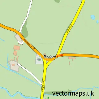
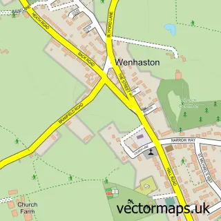
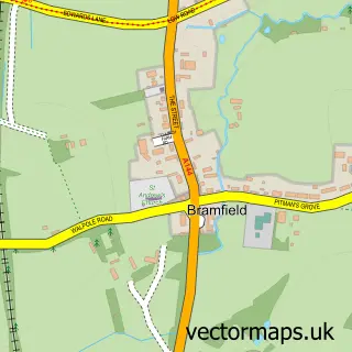
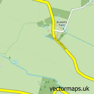
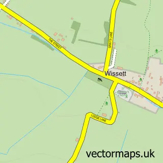
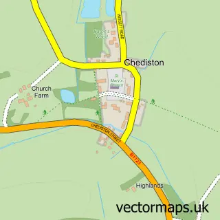
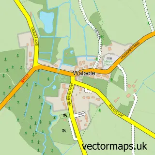
Nearby street map samples around Holton

More street maps in Suffolk
750 metre map area coverage
Boundary, postcode and point of interest information for the 750m x 750m rectangle centred on this sample map.
Boundaries containing map centre
Constituency: Waveney Valley Co Const
County: Suffolk County
District: East Suffolk District
Icb: NHS Norfolk and Waveney ICB
Parish: Holton CP
Police Force: suffolk
Postcode District: IP19
Postcode Sector: IP19 8
Ward: Halesworth & Blything Ward
Nearby boundaries intersecting sample
Parish: Blyford CP
Postcode Sector: IP19 9
Postcode coverage
POI category counts
Art Gallery: 1
Automotive Repair: 1
Bed And Breakfast: 1
Electrician: 1
Elementary School: 1
Food Beverage Service Distribution: 1
Gardener: 1
Motorcycle Repair: 1
Museum: 1
Sample points of interest
- Holton Lodge
- Alan Curtis Independent Land Rover Technician
- Lord Nelson Inn
- Earl Electrical Services
- Holton St Peter Community Primary School
- The Hot Meal Service
- Mr & Mrsb Services
- JTC Motorcycle Engineering
- Holton Windmill
Create a larger editable map of Holton
This sample shows only a 750 metre area. To create a larger map of Holton, use our map builder to choose your own coverage area, add titles and download editable SVG, PDF and PNG files.
Create a custom map of Holton