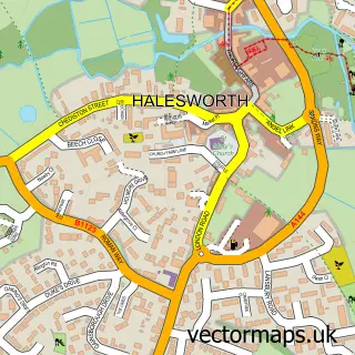
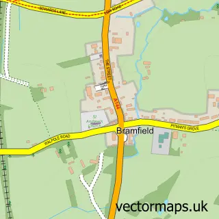
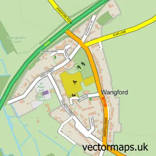
This Wenhaston street map is a detailed vector street map covering a 750m x 750m area. Select a larger area to create and download your own vector street map of Wenhaston.
The 750-metre map sample for Wenhaston covers 235 mapped buildings and approximately 9.9 km of road detail, of which 17 named roads are named. The immediate area includes 1 school and 3 MOT stations within 2 miles. The wider area around Wenhaston features 1 hotel. To create a larger or custom map of Wenhaston, the map builder lets you define your own coverage area and download editable SVG, PDF and PNG files.
Create a larger editable map of Wenhaston
Choose any area you need and generate a high-quality vector map instantly. Perfect for print, planning, design, business and personal use.

This Wenhaston street map in Suffolk is available as downloadable SVG, PDF and PNG map files, or as a printed map for planning, business, display, education, local information and design work. You can also create a larger custom map area using the map selector.
What this Wenhaston map sample shows
Wenhaston lies within Wenhaston With Mells Hamlet Cp parish, part of Halesworth & Blything ward in the East Suffolk District local authority area. The postcode geography for this area includes the IP postcode area, the IP19 postcode district and the IP19 9 postcode sector. Residents fall under the Nhs Suffolk And North East Essex Integrated Care Board for NHS services.
Local features near Wenhaston
Within 2 milesAmenities and services in and around Wenhaston.
Administrative and postcode information for Wenhaston
Wenhaston lies within Wenhaston With Mells Hamlet Cp parish, part of Halesworth & Blything ward in the East Suffolk District local authority area. The postcode geography for this area includes the IP postcode area, the IP19 postcode district and the IP19 9 postcode sector. Residents fall under the Nhs Suffolk And North East Essex Integrated Care Board for NHS services.
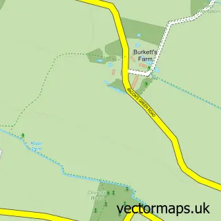
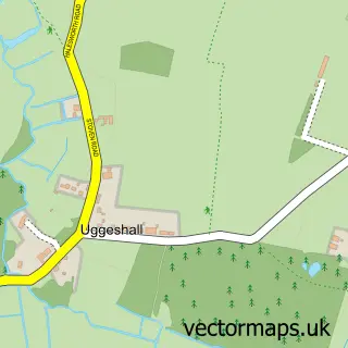
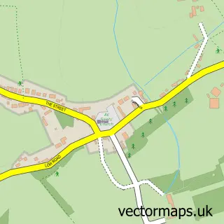
Nearby street map samples around Wenhaston

More street maps in Suffolk
750 metre map area coverage
Boundary, postcode and point of interest information for the 750m x 750m rectangle centred on this sample map.
Boundaries containing map centre
Constituency: Waveney Valley Co Const
County: Suffolk County
District: East Suffolk District
Icb: NHS Essex ICB
Parish: Wenhaston with Mells Hamlet CP
Police Force: suffolk
Postcode District: IP19
Postcode Sector: IP19 9
Ward: Halesworth & Blything Ward
Nearby boundaries intersecting sample
No additional intersecting boundaries found.
Postcode coverage
POI category counts
Anglican Church: 1
Arts And Crafts: 1
Automotive Repair: 1
Beauty Salon: 1
Catholic Church: 1
Church Cathedral: 1
Community Center: 1
Driving School: 1
Elementary School: 1
Hotel: 1
Sample points of interest
- Wenhaston, St Peter
- just all good things
- PJN Motor Engineering
- The Shed Wenhaston
- The Parish Church of Saint Peter
- St Peters Church, Wenhaston
- Wenhaston Village Hall
- Sue Cooke Driving School
- Wenhaston Primary School
- Sally's Nest
- Post Office
- Post Office-Wenhaston
Create a larger editable map of Wenhaston
This sample shows only a 750 metre area. To create a larger map of Wenhaston, use our map builder to choose your own coverage area, add titles and download editable SVG, PDF and PNG files.
Create a custom map of Wenhaston