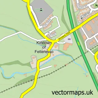
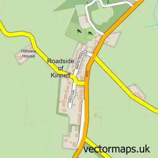
This Stonehaven street map is a detailed vector street map covering a 750m x 750m area. Select a larger area to create and download your own vector street map of Stonehaven.
The 750-metre map sample for Stonehaven covers 120 mapped buildings and approximately 22.5 km of road detail, of which 44 named roads are named. The immediate area includes 1 GP surgery, 4 pubs and 2 MOT stations, with 3 within 2 miles. The wider area around Stonehaven features 1 tourism point of interest, 20 food and drink venues and 7 hotels. To create a larger or custom map of Stonehaven, the map builder lets you define your own coverage area and download editable SVG, PDF and PNG files.
Create a larger editable map of Stonehaven
Choose any area you need and generate a high-quality vector map instantly. Perfect for print, planning, design, business and personal use.

This Stonehaven street map in Kincardineshire is available as downloadable SVG, PDF and PNG map files, or as a printed map for planning, business, display, education, local information and design work. You can also create a larger custom map area using the map selector.
What this Stonehaven map sample shows
Stonehaven lies within Aberdeenshire parish, part of Stonehaven And Lower Deeside ward in the Aberdeenshire local authority area. The postcode geography for this area includes the AB postcode area, the AB39 postcode district and the AB39 2 postcode sector. Residents fall under the Grampian for NHS services.
Local features near Stonehaven
Within 2 milesAmenities and services in and around Stonehaven.
Administrative and postcode information for Stonehaven
The local authority covering Stonehaven is Aberdeenshire, within the county of Kincardineshire. The settlement lies within Stonehaven And Lower Deeside ward and Aberdeenshire civil parish. The AB39 postcode district and AB39 2 postcode sector serve the immediate area. NHS provision in the area is delivered through Grampian.
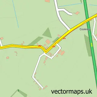
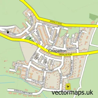
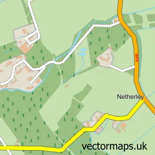
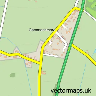
Nearby street map samples around Stonehaven

More street maps in Kincardineshire
750 metre map area coverage
Boundary, postcode and point of interest information for the 750m x 750m rectangle centred on this sample map.
Boundaries containing map centre
Constituency: West Aberdeenshire and Kincardine Co Const
District: Aberdeenshire
Icb: Grampian
Postcode District: AB39
Postcode Sector: AB39 2
Ward: Stonehaven and Lower Deeside Ward
Nearby boundaries intersecting sample
Postcode Sector: AB39 3
Postcode coverage
POI category counts
Beauty Salon: 21
Hair Salon: 11
Flowers And Gifts Shop: 9
Cafe: 8
Professional Services: 8
Hotel: 7
Barber: 6
Bed And Breakfast: 6
Community Services Non Profits: 6
Charity Organization: 5
Sample points of interest
- Belvedere Stonehaven
- Aberdein Considine
- C S Corperate Solutions Ltd.
- St James Episcopal
- Hyve Architects
- Inspired Design and Development
- Meydan
- Eion Stewart Fine Art
- Gallery at Fifty Five
- SALT
- The Quay Gallery
- Baa
Create a larger editable map of Stonehaven
This sample shows only a 750 metre area. To create a larger map of Stonehaven, use our map builder to choose your own coverage area, add titles and download editable SVG, PDF and PNG files.
Create a custom map of Stonehaven