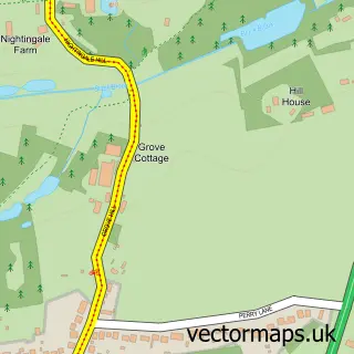
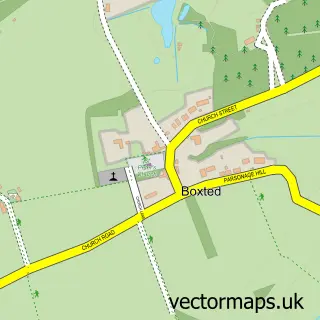
This Stratford St Mary street map is a detailed vector street map covering a 750m x 750m area. Select a larger area to create and download your own vector street map of Stratford St Mary.
The 750-metre map sample for Stratford St Mary covers 174 mapped buildings and approximately 9.6 km of road detail, of which 13 named roads are named. The immediate area includes 1 school, 3 pubs and 1 MOT station, with 2 within 2 miles. The wider area around Stratford St Mary features 3 food and drink venues. To create a larger or custom map of Stratford St Mary, the map builder lets you define your own coverage area and download editable SVG, PDF and PNG files.
Create a larger editable map of Stratford St Mary
Choose any area you need and generate a high-quality vector map instantly. Perfect for print, planning, design, business and personal use.

This Stratford St Mary street map in Suffolk is available as downloadable SVG, PDF and PNG map files, or as a printed map for planning, business, display, education, local information and design work. You can also create a larger custom map area using the map selector.
What this Stratford St Mary map sample shows
Stratford St Mary lies within Stratford St. Mary Cp parish, part of Brett Vale ward in the Babergh District local authority area. The postcode geography for this area includes the CO postcode area, the CO7 postcode district and the CO7 6 postcode sector. Residents fall under the Nhs Suffolk And North East Essex Integrated Care Board for NHS services.
Local features near Stratford St Mary
Within 2 milesAmenities and services in and around Stratford St Mary.
Administrative and postcode information for Stratford St Mary
Stratford St Mary lies within Stratford St. Mary Cp parish, part of Brett Vale ward in the Babergh District local authority area. The postcode geography for this area includes the CO postcode area, the CO7 postcode district and the CO7 6 postcode sector. Residents fall under the Nhs Suffolk And North East Essex Integrated Care Board for NHS services.
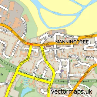
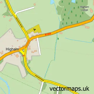
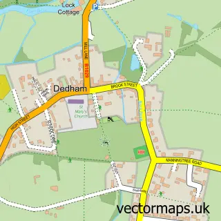
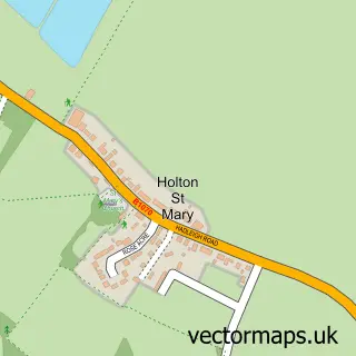
Nearby street map samples around Stratford St Mary

More street maps in Suffolk
750 metre map area coverage
Boundary, postcode and point of interest information for the 750m x 750m rectangle centred on this sample map.
Boundaries containing map centre
Constituency: South Suffolk Co Const
County: Suffolk County
District: Babergh District
Icb: NHS Essex ICB
Parish: Stratford St. Mary CP
Police Force: suffolk
Postcode District: CO7
Postcode Sector: CO7 6
Ward: Brett Vale Ward
Nearby boundaries intersecting sample
No additional intersecting boundaries found.
Postcode coverage
POI category counts
Pub: 3
Elementary School: 2
Preschool: 2
Shipping Center: 2
Agriculture: 1
Auto Electrical Repair: 1
Automotive Repair: 1
Bus Rentals: 1
Business Management Services: 1
Furniture Store: 1
Sample points of interest
- APT Farming
- Orwell Electrical
- Vale Garage
- Kj'S Private Hire Minibus
- Access Uk Ltd.
- Stratford St Mary Primary School
- Stratford St Mary Primary School
- Bespoke Bedrooms by John Burrell
- Pace
- Iceni Developments
- Hugh Clover
- ABC Pre School
Create a larger editable map of Stratford St Mary
This sample shows only a 750 metre area. To create a larger map of Stratford St Mary, use our map builder to choose your own coverage area, add titles and download editable SVG, PDF and PNG files.
Create a custom map of Stratford St Mary