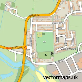
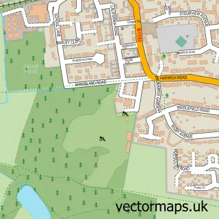
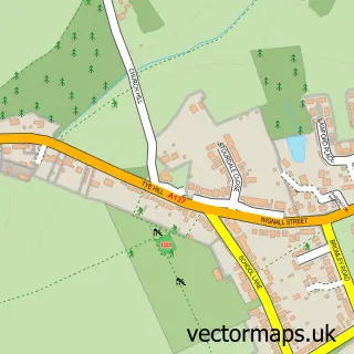
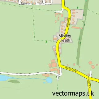
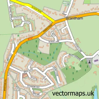
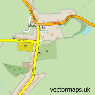
This Manningtree street map is a detailed vector street map covering a 750m x 750m area. Select a larger area to create and download your own vector street map of Manningtree.
The 750-metre map sample for Manningtree covers 384 mapped buildings and approximately 14.9 km of road detail, of which 35 named roads are named. The immediate area includes 1 GP surgery, with 2 within 2 miles, 4 pubs and 4 MOT stations within 2 miles. The wider area around Manningtree features 1 tourism point of interest, 10 food and drink venues and 1 hotel. To create a larger or custom map of Manningtree, the map builder lets you define your own coverage area and download editable SVG, PDF and PNG files.
Create a larger editable map of Manningtree
Choose any area you need and generate a high-quality vector map instantly. Perfect for print, planning, design, business and personal use.

This Manningtree street map in Essex is available as downloadable SVG, PDF and PNG map files, or as a printed map for planning, business, display, education, local information and design work. You can also create a larger custom map area using the map selector.
What this Manningtree map sample shows
Manningtree lies within Mistley Cp parish, part of Lawford, Manningtree & Mistley ward in the Tendring District local authority area. The postcode geography for this area includes the CO postcode area, the CO11 postcode district and the CO11 1 postcode sector. Residents fall under the Nhs Suffolk And North East Essex Integrated Care Board for NHS services.
Local features near Manningtree
Within 2 milesAmenities and services in and around Manningtree.
Administrative and postcode information for Manningtree
Manningtree lies within Mistley Cp parish, part of Lawford, Manningtree & Mistley ward in the Tendring District local authority area. The postcode geography for this area includes the CO postcode area, the CO11 postcode district and the CO11 1 postcode sector. Residents fall under the Nhs Suffolk And North East Essex Integrated Care Board for NHS services.
Nearby street map samples around Manningtree

More street maps in Essex
750 metre map area coverage
Boundary, postcode and point of interest information for the 750m x 750m rectangle centred on this sample map.
Boundaries containing map centre
Constituency: Harwich and North Essex Co Const
County: Essex County
District: Tendring District
Icb: NHS Essex ICB
Parish: Manningtree CP
Police Force: essex
Postcode District: CO11
Postcode Sector: CO11 1
Ward: Lawford, Manningtree & Mistley Ward
Nearby boundaries intersecting sample
Constituency: South Suffolk Co Const
County: Suffolk County
District: Babergh District
Parish: Brantham CP, Lawford CP, Mistley CP
Police Force: suffolk
Postcode Sector: CO11 2
Ward: Brantham Ward
Postcode coverage
POI category counts
Coffee Shop: 4
Flowers And Gifts Shop: 4
Funeral Services And Cemeteries: 4
Hair Salon: 4
Mortgage Broker: 4
Pub: 4
Art Gallery: 3
Bakery: 3
Barber: 3
Beauty Salon: 3
Sample points of interest
- Robert Clubb & Co.
- Small Business Services
- Jason Powell Design
- KABOOM Studios
- Sue Ryder Care
- David Downes Gallery
- NaviStitch
- North House Gallery
- Martin Huggett
- Greene King
- The Swan Inn
- East of England Co-op MANNINGTREE (CZC)
Create a larger editable map of Manningtree
This sample shows only a 750 metre area. To create a larger map of Manningtree, use our map builder to choose your own coverage area, add titles and download editable SVG, PDF and PNG files.
Create a custom map of Manningtree