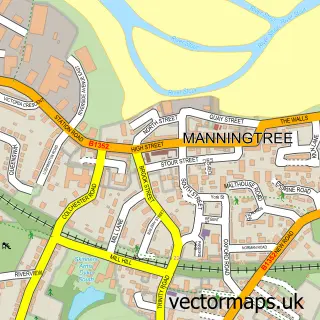
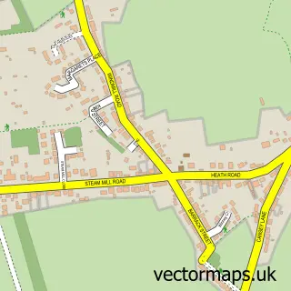
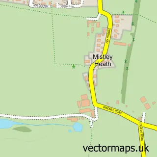
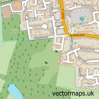
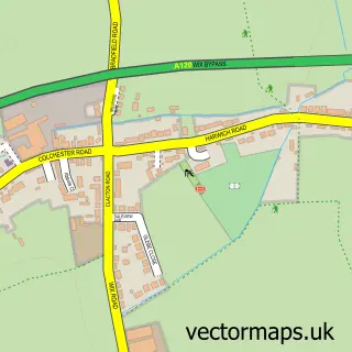
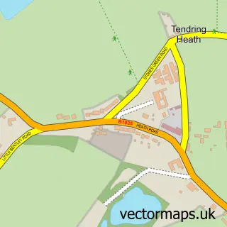
This Bradfield street map is a detailed vector street map covering a 750m x 750m area. Select a larger area to create and download your own vector street map of Bradfield.
The 750-metre map sample for Bradfield covers 118 mapped buildings and approximately 8.4 km of road detail, of which 5 named roads are named. The immediate area includes 1 pub and 1 MOT station within 2 miles. The wider area around Bradfield features 1 tourism point of interest and 1 food and drink venue. To create a larger or custom map of Bradfield, the map builder lets you define your own coverage area and download editable SVG, PDF and PNG files.
Create a larger editable map of Bradfield
Choose any area you need and generate a high-quality vector map instantly. Perfect for print, planning, design, business and personal use.

This Bradfield street map in Essex is available as downloadable SVG, PDF and PNG map files, or as a printed map for planning, business, display, education, local information and design work. You can also create a larger custom map area using the map selector.
What this Bradfield map sample shows
Bradfield lies within Bradfield Cp parish, part of Stour Valley ward in the Tendring District local authority area. The postcode geography for this area includes the CO postcode area, the CO11 postcode district and the CO11 2 postcode sector. Residents fall under the Nhs Suffolk And North East Essex Integrated Care Board for NHS services.
Local features near Bradfield
Within 2 milesAmenities and services in and around Bradfield.
Administrative and postcode information for Bradfield
The local authority covering Bradfield is Tendring District, within the county of Essex. The settlement lies within Stour Valley ward and Bradfield Cp civil parish. The CO11 postcode district and CO11 2 postcode sector serve the immediate area. NHS provision in the area is delivered through East Suffolk And North Essex Nhs Foundation Trust.
Nearby street map samples around Bradfield

More street maps in Essex
750 metre map area coverage
Boundary, postcode and point of interest information for the 750m x 750m rectangle centred on this sample map.
Boundaries containing map centre
Constituency: Harwich and North Essex Co Const
County: Essex County
District: Tendring District
Icb: NHS Essex ICB
Parish: Bradfield CP
Police Force: essex
Postcode District: CO11
Postcode Sector: CO11 2
Ward: Stour Valley Ward
Nearby boundaries intersecting sample
No additional intersecting boundaries found.
Postcode coverage
POI category counts
Community Center: 3
Anglican Church: 1
Art Gallery: 1
Campground: 1
Church Cathedral: 1
Dog Walkers: 1
Marketing Consultant: 1
Pub: 1
Real Estate: 1
Scout Hall: 1
Sample points of interest
- Bradfield: St Lawrence
- Darcy Fine Art
- Strangers Public House & Strangers Caravan And Camping Park
- St Lawrence's Church
- Bradfield Village Community Centre
- Bradfield Village Community Centre
- Bradfield Village Hall
- Walk With Me Dog Training
- Kleeneze Independent Distributor
- Strangers Home Pub
- Strangers home park
- 1st Bradfield
Create a larger editable map of Bradfield
This sample shows only a 750 metre area. To create a larger map of Bradfield, use our map builder to choose your own coverage area, add titles and download editable SVG, PDF and PNG files.
Create a custom map of Bradfield