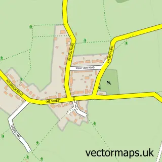
This Stutton street map is a detailed vector street map covering a 750m x 750m area. Select a larger area to create and download your own vector street map of Stutton.
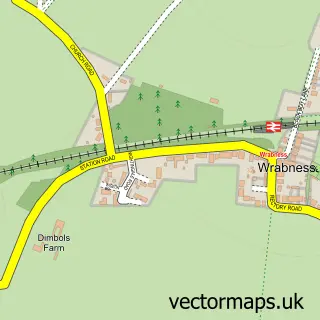
The 750-metre map sample for Stutton covers 239 mapped buildings and approximately 11.3 km of road detail, of which 16 named roads are named. The immediate area includes 1 school, 1 GP surgery within 2 miles and 2 pubs. The wider area around Stutton features 2 food and drink venues and 1 campsite within 2 miles. To create a larger or custom map of Stutton, the map builder lets you define your own coverage area and download editable SVG, PDF and PNG files.
Create a larger editable map of Stutton
Choose any area you need and generate a high-quality vector map instantly. Perfect for print, planning, design, business and personal use.

This Stutton street map in Suffolk is available as downloadable SVG, PDF and PNG map files, or as a printed map for planning, business, display, education, local information and design work. You can also create a larger custom map area using the map selector.
What this Stutton map sample shows
Stutton lies within Stutton Cp parish, part of Stour ward in the Babergh District local authority area. The postcode geography for this area includes the IP postcode area, the IP9 postcode district and the IP9 2 postcode sector. Residents fall under the Nhs Suffolk And North East Essex Integrated Care Board for NHS services.
Local features near Stutton
Within 2 milesAmenities and services in and around Stutton.
Administrative and postcode information for Stutton
The local authority covering Stutton is Babergh District, within the county of Suffolk. The settlement lies within Stour ward and Stutton Cp civil parish. The IP9 postcode district and IP9 2 postcode sector serve the immediate area. NHS provision in the area is delivered through East Suffolk And North Essex Nhs Foundation Trust.
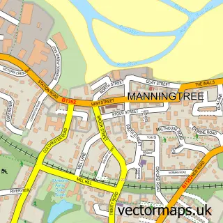
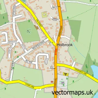
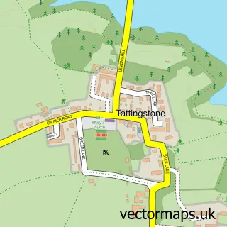
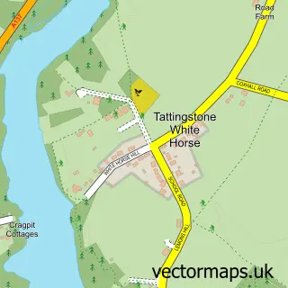
Nearby street map samples around Stutton

More street maps in Suffolk
750 metre map area coverage
Boundary, postcode and point of interest information for the 750m x 750m rectangle centred on this sample map.
Boundaries containing map centre
Constituency: South Suffolk Co Const
County: Suffolk County
District: Babergh District
Icb: NHS Essex ICB
Parish: Stutton CP
Police Force: suffolk
Postcode District: IP9
Postcode Sector: IP9 2
Ward: Stour Ward
Nearby boundaries intersecting sample
No additional intersecting boundaries found.
Postcode coverage
POI category counts
Accountant: 2
Pub: 2
Alternative Medicine: 1
Education: 1
Elementary School: 1
Forestry Service: 1
Linen: 1
Printing Services: 1
Retail: 1
Veterinarian: 1
Sample points of interest
- AIMS Accountants For Business - Richard Lawson
- AIMS Accountants for Business
- Centre of Spiritual Well-being
- Stutton C of E Primary School
- Stutton Church of England Voluntary Controlled Primary School
- Quiet Sports
- Sarah the Seamstrust
- Alpha Publishing Print & Design
- The King's Head Stutton
- The Kings Head
- Steve Lock
- Orwell Veterinary Group
Create a larger editable map of Stutton
This sample shows only a 750 metre area. To create a larger map of Stutton, use our map builder to choose your own coverage area, add titles and download editable SVG, PDF and PNG files.
Create a custom map of Stutton