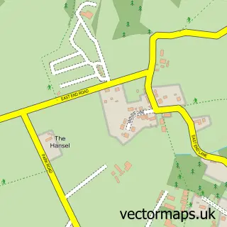
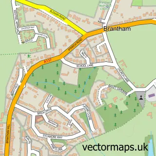
This Bentley street map is a detailed vector street map covering a 750m x 750m area. Select a larger area to create and download your own vector street map of Bentley.
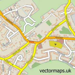
The 750-metre map sample for Bentley covers 175 mapped buildings and approximately 7.7 km of road detail, of which 10 named roads are named. The immediate area includes 1 MOT station within 2 miles. To create a larger or custom map of Bentley, the map builder lets you define your own coverage area and download editable SVG, PDF and PNG files.
Create a larger editable map of Bentley
Choose any area you need and generate a high-quality vector map instantly. Perfect for print, planning, design, business and personal use.

This Bentley street map in Suffolk is available as downloadable SVG, PDF and PNG map files, or as a printed map for planning, business, display, education, local information and design work. You can also create a larger custom map area using the map selector.
What this Bentley map sample shows
Bentley lies within Bentley Cp parish, part of Copdock & Washbrook ward in the Babergh District local authority area. The postcode geography for this area includes the IP postcode area, the IP9 postcode district and the IP9 2 postcode sector. Residents fall under the Nhs Suffolk And North East Essex Integrated Care Board for NHS services.
Local features near Bentley
Within 2 milesAmenities and services in and around Bentley.
Administrative and postcode information for Bentley
The local authority covering Bentley is Babergh District, within the county of Suffolk. The settlement lies within Copdock & Washbrook ward and Bentley Cp civil parish. The IP9 postcode district and IP9 2 postcode sector serve the immediate area. NHS provision in the area is delivered through East Suffolk And North Essex Nhs Foundation Trust.
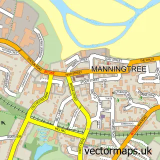
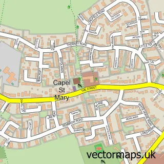
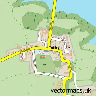
Nearby street map samples around Bentley

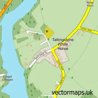
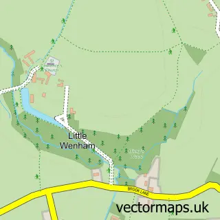
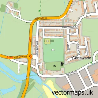
More street maps in Suffolk
750 metre map area coverage
Boundary, postcode and point of interest information for the 750m x 750m rectangle centred on this sample map.
Boundaries containing map centre
Constituency: South Suffolk Co Const
County: Suffolk County
District: Babergh District
Icb: NHS Essex ICB
Parish: Bentley CP
Police Force: suffolk
Postcode District: IP9
Postcode Sector: IP9 2
Ward: Copdock & Washbrook Ward
Nearby boundaries intersecting sample
No additional intersecting boundaries found.
Postcode coverage
POI category counts
Flowers And Gifts Shop: 3
Elementary School: 2
Automotive Repair: 1
Baptist Church: 1
Corporate Entertainment Services: 1
Cupcake Shop: 1
Freight And Cargo Service: 1
Gardener: 1
Land Surveying: 1
Sports Club And League: 1
Sample points of interest
- A12 Tyres & Car Sales
- Bentley Reformed Baptist Church
- Tangent
- Cakes by Anna
- Bentley C of E Primary School
- Bentley Church of England Voluntary Controlled Primary School
- Bentley Blooms
- Bentley Blooms
- Mary's Crafty Creations
- Twiss Express
- Jen Home Garden
- A & B Surveys
Create a larger editable map of Bentley
This sample shows only a 750 metre area. To create a larger map of Bentley, use our map builder to choose your own coverage area, add titles and download editable SVG, PDF and PNG files.
Create a custom map of Bentley