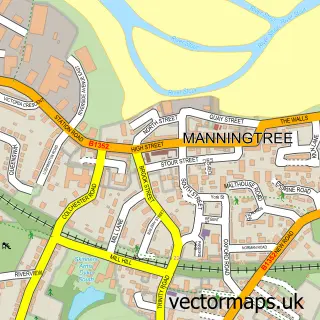
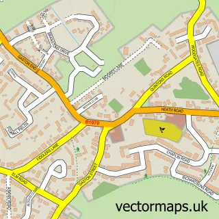
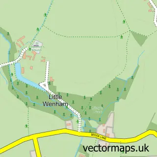
This East End street map is a detailed vector street map covering a 750m x 750m area. Select a larger area to create and download your own vector street map of East End.
The 750-metre map sample for East End covers 73 mapped buildings and approximately 9.3 km of road detail, of which 4 named roads are named. The immediate area includes 1 GP surgery within 2 miles, 2 pubs and 4 MOT stations within 2 miles. The wider area around East End features 1 tourism point of interest and 3 food and drink venues. To create a larger or custom map of East End, the map builder lets you define your own coverage area and download editable SVG, PDF and PNG files.
Create a larger editable map of East End
Choose any area you need and generate a high-quality vector map instantly. Perfect for print, planning, design, business and personal use.

This East End street map in Suffolk is available as downloadable SVG, PDF and PNG map files, or as a printed map for planning, business, display, education, local information and design work. You can also create a larger custom map area using the map selector.
What this East End map sample shows
East End lies within East Bergholt Cp parish, part of East Bergholt ward in the Babergh District local authority area. The postcode geography for this area includes the CO postcode area, the CO7 postcode district and the CO7 6 postcode sector. Residents fall under the Nhs Suffolk And North East Essex Integrated Care Board for NHS services.
Local features near East End
Within 2 milesAmenities and services in and around East End.
Administrative and postcode information for East End
East End lies within East Bergholt Cp parish, part of East Bergholt ward in the Babergh District local authority area. The postcode geography for this area includes the CO postcode area, the CO7 postcode district and the CO7 6 postcode sector. Residents fall under the Nhs Suffolk And North East Essex Integrated Care Board for NHS services.
Nearby street map samples around East End

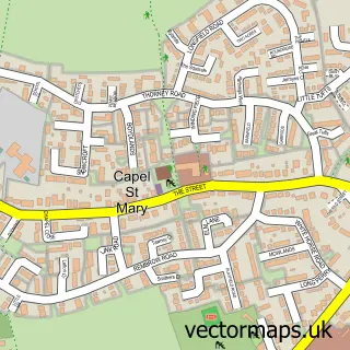
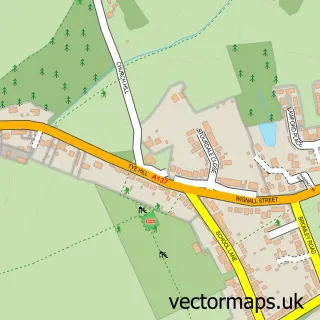
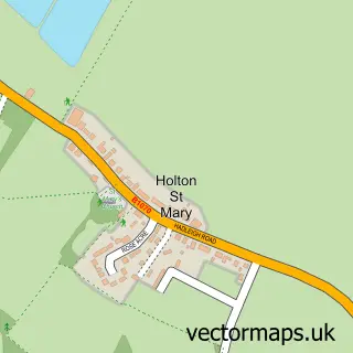
More street maps in Suffolk
750 metre map area coverage
Boundary, postcode and point of interest information for the 750m x 750m rectangle centred on this sample map.
Boundaries containing map centre
Constituency: South Suffolk Co Const
County: Suffolk County
District: Babergh District
Icb: NHS Essex ICB
Parish: East Bergholt CP
Police Force: suffolk
Postcode District: CO7
Postcode Sector: CO7 6
Ward: East Bergholt Ward
Nearby boundaries intersecting sample
No additional intersecting boundaries found.
Postcode coverage
POI category counts
Pub: 2
Cafe: 1
Community Services Non Profits: 1
Education: 1
Event Planning: 1
Flea Market: 1
Metal Fabricator: 1
Park: 1
Shopping: 1
Sample points of interest
- Fields Farm shop and Cafe
- The Grange Country Park
- Smallstepscoaching
- The Barn
- Kev's Festivals of Makers
- Kev Colbear Design
- Grange Country Holiday Park
- Royal Oak
- The Royal Oak
- K&D
Create a larger editable map of East End
This sample shows only a 750 metre area. To create a larger map of East End, use our map builder to choose your own coverage area, add titles and download editable SVG, PDF and PNG files.
Create a custom map of East End