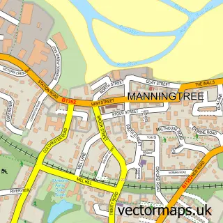
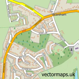
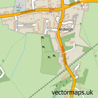
This Lawford street map is a detailed vector street map covering a 750m x 750m area. Select a larger area to create and download your own vector street map of Lawford.
The 750-metre map sample for Lawford covers 225 mapped buildings and approximately 6.6 km of road detail, of which 11 named roads are named. The immediate area includes 2 GP surgeries within 2 miles and 4 MOT stations within 2 miles. To create a larger or custom map of Lawford, the map builder lets you define your own coverage area and download editable SVG, PDF and PNG files.
Create a larger editable map of Lawford
Choose any area you need and generate a high-quality vector map instantly. Perfect for print, planning, design, business and personal use.

This Lawford street map in Essex is available as downloadable SVG, PDF and PNG map files, or as a printed map for planning, business, display, education, local information and design work. You can also create a larger custom map area using the map selector.
What this Lawford map sample shows
Lawford lies within Lawford Cp parish, part of Lawford, Manningtree & Mistley ward in the Tendring District local authority area. The postcode geography for this area includes the CO postcode area, the CO11 postcode district and the CO11 2 postcode sector. Residents fall under the Nhs Suffolk And North East Essex Integrated Care Board for NHS services.
Local features near Lawford
Within 2 milesAmenities and services in and around Lawford.
Administrative and postcode information for Lawford
The local authority covering Lawford is Tendring District, within the county of Essex. The settlement lies within Lawford, Manningtree & Mistley ward and Lawford Cp civil parish. The CO11 postcode district and CO11 2 postcode sector serve the immediate area. NHS provision in the area is delivered through East Suffolk And North Essex Nhs Foundation Trust.
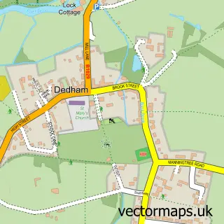
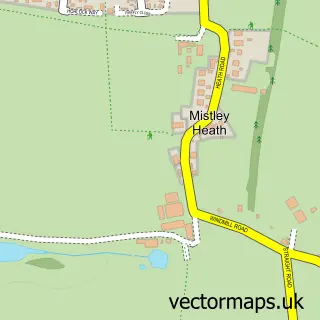
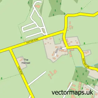
Nearby street map samples around Lawford

More street maps in Essex
750 metre map area coverage
Boundary, postcode and point of interest information for the 750m x 750m rectangle centred on this sample map.
Boundaries containing map centre
Constituency: Harwich and North Essex Co Const
County: Essex County
District: Tendring District
Icb: NHS Essex ICB
Parish: Lawford CP
Police Force: essex
Postcode District: CO11
Postcode Sector: CO11 2
Ward: Lawford, Manningtree & Mistley Ward
Nearby boundaries intersecting sample
No additional intersecting boundaries found.
Postcode coverage
POI category counts
Community Center: 2
Professional Services: 2
Tutoring Center: 2
Beauty Product Supplier: 1
Beauty Salon: 1
Building Supply Store: 1
Caterer: 1
Church Cathedral: 1
Massage Therapy: 1
Property Management: 1
Sample points of interest
- The Beauty Room
- Beauty By Rhi
- JTJ Plumbing and Heating
- Chef For Hire
- Lawford Church
- Ogilvie Hall
- Venture Centre
- Relieve The Pain
- Beautiful Black and White Photography
- Lawford Parish Council
- Lawford Place Freehold Company Limited
- Key To Love Ministries
Create a larger editable map of Lawford
This sample shows only a 750 metre area. To create a larger map of Lawford, use our map builder to choose your own coverage area, add titles and download editable SVG, PDF and PNG files.
Create a custom map of Lawford