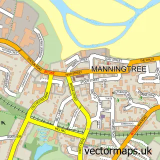
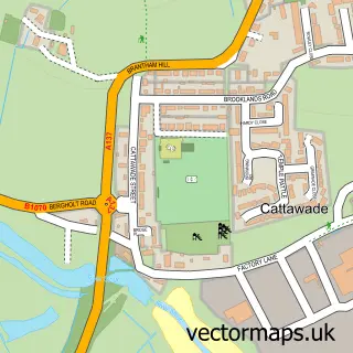
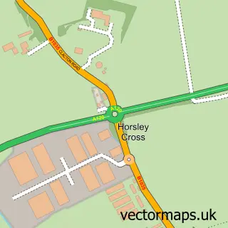
This Mistley street map is a detailed vector street map covering a 750m x 750m area. Select a larger area to create and download your own vector street map of Mistley.
The 750-metre map sample for Mistley covers 386 mapped buildings and approximately 8.1 km of road detail, of which 18 named roads are named. The immediate area includes 1 school, 2 GP surgeries within 2 miles and 4 MOT stations within 2 miles. The wider area around Mistley features 2 tourism points of interest. To create a larger or custom map of Mistley, the map builder lets you define your own coverage area and download editable SVG, PDF and PNG files.
Create a larger editable map of Mistley
Choose any area you need and generate a high-quality vector map instantly. Perfect for print, planning, design, business and personal use.

This Mistley street map in Essex is available as downloadable SVG, PDF and PNG map files, or as a printed map for planning, business, display, education, local information and design work. You can also create a larger custom map area using the map selector.
What this Mistley map sample shows
Mistley lies within Mistley Cp parish, part of Lawford, Manningtree & Mistley ward in the Tendring District local authority area. The postcode geography for this area includes the CO postcode area, the CO11 postcode district and the CO11 1 postcode sector. Residents fall under the Nhs Suffolk And North East Essex Integrated Care Board for NHS services.
Local features near Mistley
Within 2 milesAmenities and services in and around Mistley.
Administrative and postcode information for Mistley
Mistley lies within Mistley Cp parish, part of Lawford, Manningtree & Mistley ward in the Tendring District local authority area. The postcode geography for this area includes the CO postcode area, the CO11 postcode district and the CO11 1 postcode sector. Residents fall under the Nhs Suffolk And North East Essex Integrated Care Board for NHS services.
Nearby street map samples around Mistley

More street maps in Essex
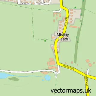
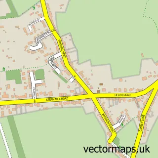
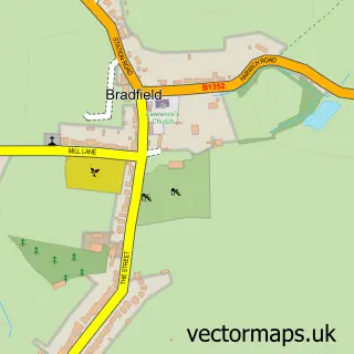
750 metre map area coverage
Boundary, postcode and point of interest information for the 750m x 750m rectangle centred on this sample map.
Boundaries containing map centre
Constituency: Harwich and North Essex Co Const
County: Essex County
District: Tendring District
Icb: NHS Essex ICB
Parish: Mistley CP
Police Force: essex
Postcode District: CO11
Postcode Sector: CO11 1
Ward: Lawford, Manningtree & Mistley Ward
Nearby boundaries intersecting sample
Postcode Sector: CO11 2
Postcode coverage
POI category counts
Child Care And Day Care: 2
Construction Services: 2
Elementary School: 2
Fish And Chips Restaurant: 2
It Service And Computer Repair: 2
Professional Services: 2
Used Car Dealer: 2
Amateur Sports Team: 1
Arts And Entertainment: 1
Audio Visual Equipment Store: 1
Sample points of interest
- Mistley Rugby Club
- Mistley Village Hall
- GB Connect
- Mistley Village Hall
- Mistley Fencing & Landscaping
- County House Signs
- Little Lambs Pre-school of Mistley
- Mistley Kids Club
- Friends Of The Anchor
- King Building Solutions
- Mersea Drains
- Premier Tym Convenience
Create a larger editable map of Mistley
This sample shows only a 750 metre area. To create a larger map of Mistley, use our map builder to choose your own coverage area, add titles and download editable SVG, PDF and PNG files.
Create a custom map of Mistley