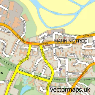
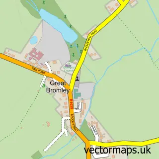
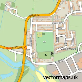
This Ardleigh street map is a detailed vector street map covering a 750m x 750m area. Select a larger area to create and download your own vector street map of Ardleigh.
The 750-metre map sample for Ardleigh covers 219 mapped buildings and approximately 9.0 km of road detail, of which 14 named roads are named. The immediate area includes 1 school, 1 GP surgery within 2 miles and 2 MOT stations within 2 miles. The wider area around Ardleigh features 1 tourism point of interest. To create a larger or custom map of Ardleigh, the map builder lets you define your own coverage area and download editable SVG, PDF and PNG files.
Create a larger editable map of Ardleigh
Choose any area you need and generate a high-quality vector map instantly. Perfect for print, planning, design, business and personal use.

This Ardleigh street map in Essex is available as downloadable SVG, PDF and PNG map files, or as a printed map for planning, business, display, education, local information and design work. You can also create a larger custom map area using the map selector.
What this Ardleigh map sample shows
Ardleigh lies within Ardleigh Cp parish, part of Ardleigh & Little Bromley ward in the Tendring District local authority area. The postcode geography for this area includes the CO postcode area, the CO7 postcode district and the CO7 7 postcode sector. Residents fall under the Nhs Suffolk And North East Essex Integrated Care Board for NHS services.
Local features near Ardleigh
Within 2 milesAmenities and services in and around Ardleigh.
Administrative and postcode information for Ardleigh
The local authority covering Ardleigh is Tendring District, within the county of Essex. The settlement lies within Ardleigh & Little Bromley ward and Ardleigh Cp civil parish. The CO7 postcode district and CO7 7 postcode sector serve the immediate area. NHS provision in the area is delivered through East Suffolk And North Essex Nhs Foundation Trust.
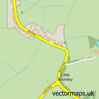
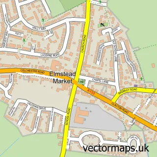
Nearby street map samples around Ardleigh

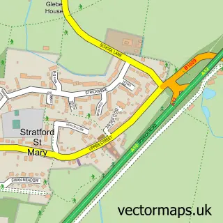
More street maps in Essex
750 metre map area coverage
Boundary, postcode and point of interest information for the 750m x 750m rectangle centred on this sample map.
Boundaries containing map centre
Constituency: Harwich and North Essex Co Const
County: Essex County
District: Tendring District
Icb: NHS Essex ICB
Parish: Ardleigh CP
Police Force: essex
Postcode District: CO7
Postcode Sector: CO7 7
Ward: Ardleigh & Little Bromley Ward
Nearby boundaries intersecting sample
No additional intersecting boundaries found.
Postcode coverage
POI category counts
Scout Hall: 3
Alternative Medicine: 1
Anglican Church: 1
Arts And Entertainment: 1
Beauty And Spa: 1
Bus Station: 1
Car Dealer: 1
Community Center: 1
Convenience Store: 1
Counseling And Mental Health: 1
Sample points of interest
- Life of Energy Healing
- St. Mary the Virgin, Ardleigh
- Ardleigh Studios
- KALOS Style & Groom
- The Wooden Fender
- Endeavour Lotus Colchester
- Ardleigh Village Hall
- Ardleigh Convenience Store
- Priory Elm Park
- Debbie Millar School of Dance
- Basking Babies Colchester
- Ardleigh St Mary's CofE Primary Academy
Create a larger editable map of Ardleigh
This sample shows only a 750 metre area. To create a larger map of Ardleigh, use our map builder to choose your own coverage area, add titles and download editable SVG, PDF and PNG files.
Create a custom map of Ardleigh