This Sturminster Newton street map is a detailed vector street map covering a 750m x 750m area. Select a larger area to create and download your own vector street map of Sturminster Newton.
The 750-metre map sample for Sturminster Newton covers 357 mapped buildings and approximately 11.8 km of road detail, of which 26 named roads are named. The immediate area includes 1 school, 1 GP surgery, 2 pubs and 1 MOT station, with 4 within 2 miles. The wider area around Sturminster Newton features 1 tourism point of interest, 8 food and drink venues and 2 hotels. To create a larger or custom map of Sturminster Newton, the map builder lets you define your own coverage area and download editable SVG, PDF and PNG files.
Create a larger editable map of Sturminster Newton
Choose any area you need and generate a high-quality vector map instantly. Perfect for print, planning, design, business and personal use.

This Sturminster Newton street map in Dorset is available as downloadable SVG, PDF and PNG map files, or as a printed map for planning, business, display, education, local information and design work. You can also create a larger custom map area using the map selector.
What this Sturminster Newton map sample shows
Sturminster Newton lies within Sturminster Newton Cp parish, part of Sturminster Newton ward in the Dorset local authority area. The postcode geography for this area includes the DT postcode area, the DT10 postcode district and the DT10 1 postcode sector. Residents fall under the Nhs Dorset Integrated Care Board for NHS services.
Local features near Sturminster Newton
Within 2 milesAmenities and services in and around Sturminster Newton.
Administrative and postcode information for Sturminster Newton
Sturminster Newton lies within Sturminster Newton Cp parish, part of Sturminster Newton ward in the Dorset local authority area. The postcode geography for this area includes the DT postcode area, the DT10 postcode district and the DT10 1 postcode sector. Residents fall under the Nhs Dorset Integrated Care Board for NHS services.
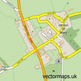
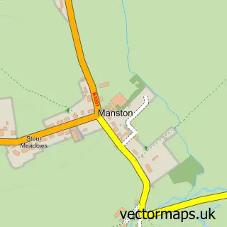
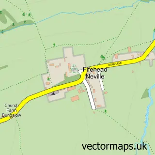
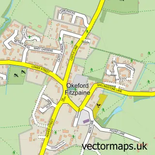
Nearby street map samples around Sturminster Newton

More street maps in Dorset
750 metre map area coverage
Boundary, postcode and point of interest information for the 750m x 750m rectangle centred on this sample map.
Boundaries containing map centre
Constituency: North Dorset Co Const
District: Dorset
Icb: NHS Dorset ICB
Parish: Sturminster Newton CP
Police Force: dorset
Postcode District: DT10
Postcode Sector: DT10 1
Ward: Sturminster Newton Ward
Nearby boundaries intersecting sample
Postcode Sector: DT10 2
Postcode coverage
POI category counts
Professional Services: 8
Barber: 4
Hair Salon: 4
Real Estate Agent: 4
Bakery: 3
Banks: 3
Cafe: 3
Church Cathedral: 3
Grocery Store: 3
Printing Services: 3
Sample points of interest
- Simon John Christopher
- Sutcliffe & Co.
- Wynnstay Stores
- Caice
- E B Marsh & Son
- Gallery 1
- Beads with a Twist - Jewellers and Bead shop.
- Cafe Spice
- Anchor Hanover - Hanover Close
- The Southern Co-Operative Sturminster Station Road (ERF), Station Rd
- Super Hand Car Wash
- A&K Autos
Create a larger editable map of Sturminster Newton
This sample shows only a 750 metre area. To create a larger map of Sturminster Newton, use our map builder to choose your own coverage area, add titles and download editable SVG, PDF and PNG files.
Create a custom map of Sturminster Newton