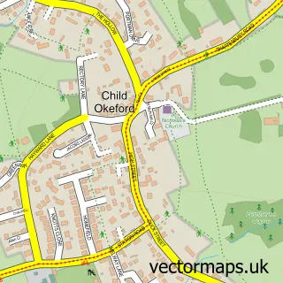
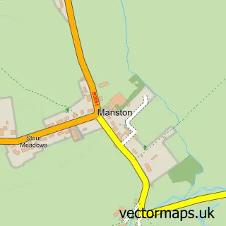
This Okeford Fitzpaine street map is a detailed vector street map covering a 750m x 750m area. Select a larger area to create and download your own vector street map of Okeford Fitzpaine.
The 750-metre map sample for Okeford Fitzpaine covers 279 mapped buildings and approximately 9.5 km of road detail, of which 16 named roads are named. The immediate area includes 1 pub and 1 MOT station, with 2 within 2 miles. The wider area around Okeford Fitzpaine features 2 food and drink venues. To create a larger or custom map of Okeford Fitzpaine, the map builder lets you define your own coverage area and download editable SVG, PDF and PNG files.
Create a larger editable map of Okeford Fitzpaine
Choose any area you need and generate a high-quality vector map instantly. Perfect for print, planning, design, business and personal use.

This Okeford Fitzpaine street map in Dorset is available as downloadable SVG, PDF and PNG map files, or as a printed map for planning, business, display, education, local information and design work. You can also create a larger custom map area using the map selector.
What this Okeford Fitzpaine map sample shows
Okeford Fitzpaine lies within Okeford Fitzpaine Cp parish, part of Blackmore Vale ward in the Dorset local authority area. The postcode geography for this area includes the DT postcode area, the DT11 postcode district and the DT11 0 postcode sector. Residents fall under the Nhs Dorset Integrated Care Board for NHS services.
Local features near Okeford Fitzpaine
Within 2 milesAmenities and services in and around Okeford Fitzpaine.
Administrative and postcode information for Okeford Fitzpaine
Okeford Fitzpaine lies within Okeford Fitzpaine Cp parish, part of Blackmore Vale ward in the Dorset local authority area. The postcode geography for this area includes the DT postcode area, the DT11 postcode district and the DT11 0 postcode sector. Residents fall under the Nhs Dorset Integrated Care Board for NHS services.
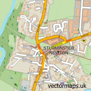
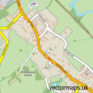
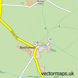
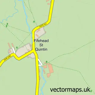
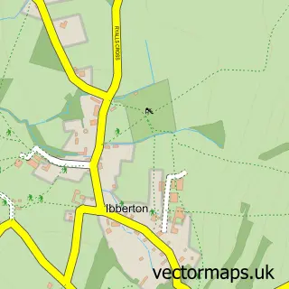
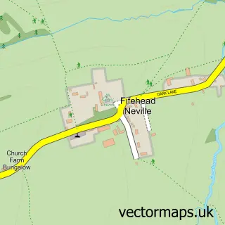
Nearby street map samples around Okeford Fitzpaine

More street maps in Dorset
750 metre map area coverage
Boundary, postcode and point of interest information for the 750m x 750m rectangle centred on this sample map.
Boundaries containing map centre
Constituency: North Dorset Co Const
District: Dorset
Icb: NHS Dorset ICB
Parish: Okeford Fitzpaine CP
Police Force: dorset
Postcode District: DT11
Postcode Sector: DT11 0
Ward: Blackmore Vale Ward
Nearby boundaries intersecting sample
No additional intersecting boundaries found.
Postcode coverage
POI category counts
Convenience Store: 3
Automotive Repair: 2
Beauty Salon: 2
Anglican Church: 1
Audiovisual Equipment Rental: 1
Building Supply Store: 1
Business Consulting: 1
Cafe: 1
Caterer: 1
Church Cathedral: 1
Sample points of interest
- St Andrew's, Okeford Fitzpaine
- Clive Smith Skip Hire Ltd.
- Fippenny Garage
- Fippenny Garage
- Body Transformation Clinic
- The Lash Retreat
- Bemacross Contractors Ltd
- Business Management UK
- Iluminada
- Okeford Fitzpaine Village Hall
- St Andrew's Church
- Londis
Create a larger editable map of Okeford Fitzpaine
This sample shows only a 750 metre area. To create a larger map of Okeford Fitzpaine, use our map builder to choose your own coverage area, add titles and download editable SVG, PDF and PNG files.
Create a custom map of Okeford Fitzpaine