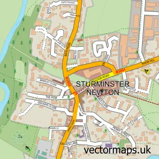
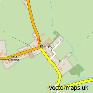
This Shillingstone street map is a detailed vector street map covering a 750m x 750m area. Select a larger area to create and download your own vector street map of Shillingstone.
The 750-metre map sample for Shillingstone covers 220 mapped buildings and approximately 8.9 km of road detail, of which 12 named roads are named. The immediate area includes 2 pubs and 1 MOT station, with 2 within 2 miles. The wider area around Shillingstone features 3 food and drink venues. To create a larger or custom map of Shillingstone, the map builder lets you define your own coverage area and download editable SVG, PDF and PNG files.
Create a larger editable map of Shillingstone
Choose any area you need and generate a high-quality vector map instantly. Perfect for print, planning, design, business and personal use.

This Shillingstone street map in Dorset is available as downloadable SVG, PDF and PNG map files, or as a printed map for planning, business, display, education, local information and design work. You can also create a larger custom map area using the map selector.
What this Shillingstone map sample shows
Shillingstone lies within Shillingstone Cp parish, part of Blackmore Vale ward in the Dorset local authority area. The postcode geography for this area includes the DT postcode area, the DT11 postcode district and the DT11 0 postcode sector. Residents fall under the Nhs Dorset Integrated Care Board for NHS services.
Local features near Shillingstone
Within 2 milesAmenities and services in and around Shillingstone.
Administrative and postcode information for Shillingstone
Shillingstone lies within Shillingstone Cp parish, part of Blackmore Vale ward in the Dorset local authority area. The postcode geography for this area includes the DT postcode area, the DT11 postcode district and the DT11 0 postcode sector. Residents fall under the Nhs Dorset Integrated Care Board for NHS services.
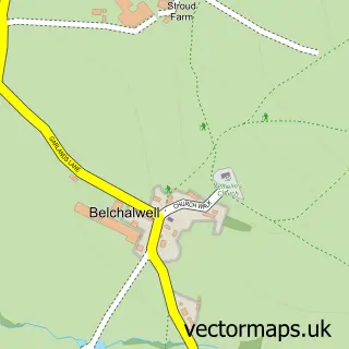
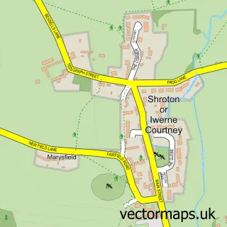
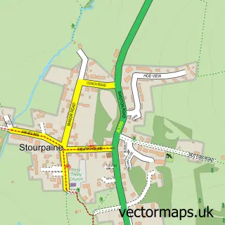
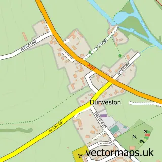
Nearby street map samples around Shillingstone

More street maps in Dorset
750 metre map area coverage
Boundary, postcode and point of interest information for the 750m x 750m rectangle centred on this sample map.
Boundaries containing map centre
Constituency: North Dorset Co Const
District: Dorset
Icb: NHS Dorset ICB
Parish: Shillingstone CP
Police Force: dorset
Postcode District: DT11
Postcode Sector: DT11 0
Ward: Blackmore Vale Ward
Nearby boundaries intersecting sample
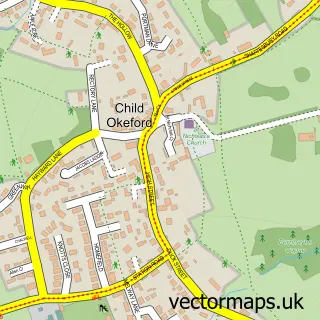
Parish: Child Okeford CP
Postcode Sector: DT11 8
Ward: Hill Forts & Upper Tarrants Ward
Postcode coverage
POI category counts
Gas Station: 3
Pub: 2
Anglican Church: 1
Auto Upholstery: 1
Business Management Services: 1
Coffee Shop: 1
Community Services Non Profits: 1
Convenience Store: 1
Courier And Delivery Services: 1
Florist: 1
Sample points of interest
- Holy Rood, Shillingstone
- Feathered Nest
- Shillingstone Post Office
- Costa Express
- The Big Yellow Bus Garden Project
- Premier Shillingstone Garage
- Evri ParcelShop
- Martha And The Meadow
- Country Fayre
- Ascona Shillingstone Service Station
- Harvest Energy
- TEXACO Station
Create a larger editable map of Shillingstone
This sample shows only a 750 metre area. To create a larger map of Shillingstone, use our map builder to choose your own coverage area, add titles and download editable SVG, PDF and PNG files.
Create a custom map of Shillingstone