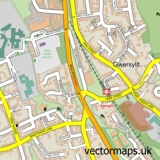
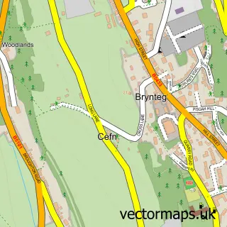
This Summerhill street map is a detailed vector street map covering a 750m x 750m area. Select a larger area to create and download your own vector street map of Summerhill.
The 750-metre map sample for Summerhill covers 404 mapped buildings and approximately 16.1 km of road detail, of which 35 named roads are named. The immediate area includes 2 schools, 2 GP surgeries within 2 miles, 1 pub and 17 MOT stations within 2 miles. The wider area around Summerhill features 2 food and drink venues and 1 hotel. To create a larger or custom map of Summerhill, the map builder lets you define your own coverage area and download editable SVG, PDF and PNG files.
Create a larger editable map of Summerhill
Choose any area you need and generate a high-quality vector map instantly. Perfect for print, planning, design, business and personal use.

This Summerhill street map in Clwyd is available as downloadable SVG, PDF and PNG map files, or as a printed map for planning, business, display, education, local information and design work. You can also create a larger custom map area using the map selector.
What this Summerhill map sample shows
Summerhill lies within Gwersyllt Community parish, part of Gwersyllt West ward in the Wrecsam - Wrexham local authority area. The postcode geography for this area includes the LL postcode area, the LL11 postcode district and the LL11 4 postcode sector. Residents fall under the Betsi Cadwaladr University Health Board for NHS services.
Local features near Summerhill
Within 2 milesAmenities and services in and around Summerhill.
Administrative and postcode information for Summerhill
Summerhill lies within Gwersyllt Community parish, part of Gwersyllt West ward in the Wrecsam - Wrexham local authority area. The postcode geography for this area includes the LL postcode area, the LL11 postcode district and the LL11 4 postcode sector. Residents fall under the Betsi Cadwaladr University Health Board for NHS services.
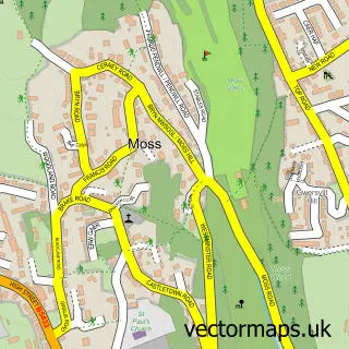
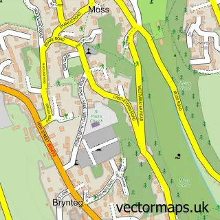
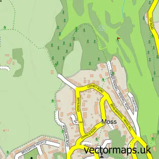
Nearby street map samples around Summerhill


More street maps in Clwyd
750 metre map area coverage
Boundary, postcode and point of interest information for the 750m x 750m rectangle centred on this sample map.
Boundaries containing map centre
Constituency: Wrexham Co Const
District: Wrecsam - Wrexham
Icb: Betsi Cadwaladr University
Parish: Gwersyllt Community
Police Force: north wales
Postcode District: LL11
Postcode Sector: LL11 4
Nearby boundaries intersecting sample
Postcode Sector: LL11 6
Postcode coverage
POI category counts
Building Supply Store: 4
Convenience Store: 4
Gym: 3
Atms: 2
Gas Station: 2
High School: 2
Antique Store: 1
Automotive Repair: 1
Car Dealer: 1
Carpet Store: 1
Sample points of interest
- Acorn Antiques
- BR Spar Gwersyllt, Mold Road,
- Spar - Gwersyllt (Swap), Gwersyllt
- Summerhill Motors
- Bright Electrical Contractors
- Kent Supplies
- Lee Wright Plumbing & Heating
- Mark Davies Carpentry & Joinery
- D H Motors - Daniel Hughes
- Carpets 2 U
- Sun Wah Chinese Gwersyllt
- Holy Trinity Church
Create a larger editable map of Summerhill
This sample shows only a 750 metre area. To create a larger map of Summerhill, use our map builder to choose your own coverage area, add titles and download editable SVG, PDF and PNG files.
Create a custom map of Summerhill