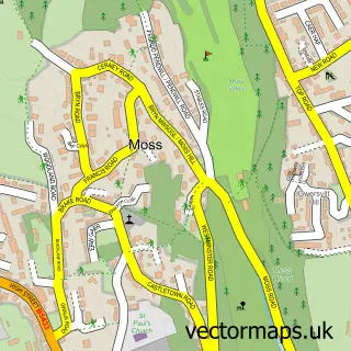
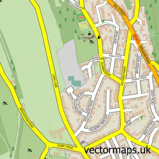
This Pentre Broughton street map is a detailed vector street map covering a 750m x 750m area. Select a larger area to create and download your own vector street map of Pentre Broughton.
The 750-metre map sample for Pentre Broughton covers 328 mapped buildings and approximately 17.9 km of road detail, of which 35 named roads are named. The immediate area includes 2 GP surgeries within 2 miles, 1 pub and 15 MOT stations within 2 miles. The wider area around Pentre Broughton features 1 food and drink venue. To create a larger or custom map of Pentre Broughton, the map builder lets you define your own coverage area and download editable SVG, PDF and PNG files.
Create a larger editable map of Pentre Broughton
Choose any area you need and generate a high-quality vector map instantly. Perfect for print, planning, design, business and personal use.

This Pentre Broughton street map in Clwyd is available as downloadable SVG, PDF and PNG map files, or as a printed map for planning, business, display, education, local information and design work. You can also create a larger custom map area using the map selector.
What this Pentre Broughton map sample shows
Pentre Broughton lies within Broughton Community parish, part of Bryn Cefn ward in the Wrecsam - Wrexham local authority area. The postcode geography for this area includes the LL postcode area, the LL11 postcode district and the LL11 6 postcode sector. Residents fall under the Betsi Cadwaladr University Health Board for NHS services.
Local features near Pentre Broughton
Within 2 milesAmenities and services in and around Pentre Broughton.
Administrative and postcode information for Pentre Broughton
The local authority covering Pentre Broughton is Wrecsam - Wrexham, within the county of Clwyd. The settlement lies within Bryn Cefn ward and Broughton Community civil parish. The LL11 postcode district and LL11 6 postcode sector serve the immediate area. NHS provision in the area is delivered through Betsi Cadwaladr University Health Board.
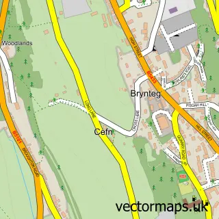
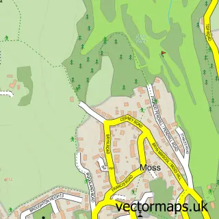
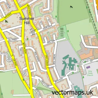
Nearby street map samples around Pentre Broughton


More street maps in Clwyd
750 metre map area coverage
Boundary, postcode and point of interest information for the 750m x 750m rectangle centred on this sample map.
Boundaries containing map centre
Constituency: Wrexham Co Const
District: Wrecsam - Wrexham
Icb: Betsi Cadwaladr University
Parish: Broughton Community
Police Force: north wales
Postcode District: LL11
Postcode Sector: LL11 6
Nearby boundaries intersecting sample
Parish: Gwersyllt Community
Postcode Sector: LL11 4
Postcode coverage
POI category counts
Funeral Services And Cemeteries: 2
Golf Course: 2
Oil And Gas: 2
Professional Services: 2
B2b Energy And Mining: 1
Beauty Product Supplier: 1
Bike Repair Maintenance: 1
Chinese Restaurant: 1
Church Cathedral: 1
Community Services Non Profits: 1
Sample points of interest
- Web Oil Ltd.
- Aliwaves
- Digger cycle repairs
- Hong Kong Ocean
- St Paul's Church
- Westminster Rise Summerhill
- Mervyn's
- Roberts Bros
- Roberts Bros
- Nema Studios
- Moss Valley Golf Club
- Moss Valley Golf Club
Create a larger editable map of Pentre Broughton
This sample shows only a 750 metre area. To create a larger map of Pentre Broughton, use our map builder to choose your own coverage area, add titles and download editable SVG, PDF and PNG files.
Create a custom map of Pentre Broughton