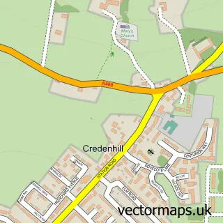
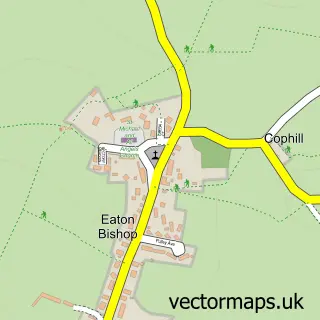
This Swainshill street map is a detailed vector street map covering a 750m x 750m area. Select a larger area to create and download your own vector street map of Swainshill.
The 750-metre map sample for Swainshill covers 155 mapped buildings and approximately 22.3 km of road detail, of which 6 named roads are named. The immediate area includes 4 MOT stations within 2 miles. To create a larger or custom map of Swainshill, the map builder lets you define your own coverage area and download editable SVG, PDF and PNG files.
Create a larger editable map of Swainshill
Choose any area you need and generate a high-quality vector map instantly. Perfect for print, planning, design, business and personal use.

This Swainshill street map in Herefordshire is available as downloadable SVG, PDF and PNG map files, or as a printed map for planning, business, display, education, local information and design work. You can also create a larger custom map area using the map selector.
What this Swainshill map sample shows
Swainshill lies within Breinton Cp parish, part of Credenhill ward in the County Of Herefordshire local authority area. The postcode geography for this area includes the HR postcode area, the HR4 postcode district and the HR4 0 postcode sector. Residents fall under the Nhs Herefordshire And Worcestershire Integrated Care Board for NHS services.
Local features near Swainshill
Within 2 milesAmenities and services in and around Swainshill.
Administrative and postcode information for Swainshill
Swainshill lies within Breinton Cp parish, part of Credenhill ward in the County Of Herefordshire local authority area. The postcode geography for this area includes the HR postcode area, the HR4 postcode district and the HR4 0 postcode sector. Residents fall under the Nhs Herefordshire And Worcestershire Integrated Care Board for NHS services.
Nearby street map samples around Swainshill
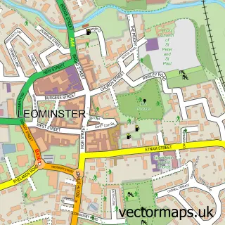

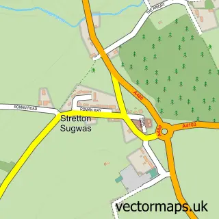
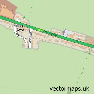
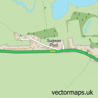
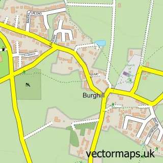
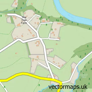
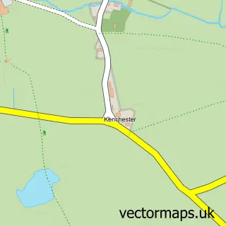
More street maps in Herefordshire
750 metre map area coverage
Boundary, postcode and point of interest information for the 750m x 750m rectangle centred on this sample map.
Boundaries containing map centre
Constituency: North Herefordshire Co Const
District: County of Herefordshire
Icb: NHS Herefordshire and Worcestershire ICB
Parish: Breinton CP
Police Force: west mercia
Postcode District: HR4
Postcode Sector: HR4 7
Ward: Credenhill Ward
Nearby boundaries intersecting sample
Constituency: Hereford and South Herefordshire Co Const
Parish: Hereford CP, Stretton Sugwas CP
Postcode Sector: HR4 0
Ward: Kings Acre Ward
Postcode coverage
POI category counts
Automotive Repair: 3
Accountant: 1
Carpenter: 1
Legal Services: 1
Media Agency: 1
Pet Store: 1
Shoe Store: 1
Software Development: 1
Telecommunications: 1
Sample points of interest
- Thorne Widgery
- Kings Acre Garage
- T G Auto Care
- TS Motors Hereford
- B R Wojtczak
- Gordon Lutton Company
- G R C
- Maidenhead Aquatics
- Pavers Shoes
- SnowlyCode Ltd
- Global Radiodata Communications
Create a larger editable map of Swainshill
This sample shows only a 750 metre area. To create a larger map of Swainshill, use our map builder to choose your own coverage area, add titles and download editable SVG, PDF and PNG files.
Create a custom map of Swainshill